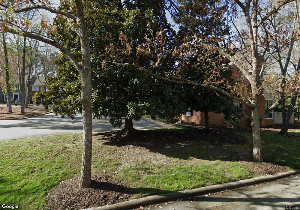
760 Weathergreen Dr Raleigh, NC 27615
Six Forks NeighborhoodEstimated Value: $311,763 - $367,000
2
Beds
2
Baths
1,447
Sq Ft
$231/Sq Ft
Est. Value
About This Home
This home is located at 760 Weathergreen Dr, Raleigh, NC 27615 and is currently estimated at $334,191, approximately $230 per square foot. 760 Weathergreen Dr is a home located in Wake County with nearby schools including North Ridge Elementary School, West Millbrook Middle School, and Sanderson High School.
Ownership History
Date
Name
Owned For
Owner Type
Purchase Details
Closed on
Feb 18, 2022
Sold by
Lawrence Elizabeth B
Bought by
Lawrence Ronald E and Lawrence Elizabeth B
Current Estimated Value
Purchase Details
Closed on
May 13, 2020
Sold by
Tippett Mary and Monson May F
Bought by
Lawrence Ronald E and Lawrence Elizabeth B
Purchase Details
Closed on
Dec 5, 2001
Sold by
Scudder Marjorie B
Bought by
Monson Mary F
Purchase Details
Closed on
Jul 17, 1998
Sold by
Joyner Michael Nelms
Bought by
David B & Marjorie B Scudder Trust
Home Financials for this Owner
Home Financials are based on the most recent Mortgage that was taken out on this home.
Original Mortgage
$87,000
Interest Rate
7.02%
Create a Home Valuation Report for This Property
The Home Valuation Report is an in-depth analysis detailing your home's value as well as a comparison with similar homes in the area
Home Values in the Area
Average Home Value in this Area
Purchase History
| Date | Buyer | Sale Price | Title Company |
|---|---|---|---|
| Lawrence Ronald E | -- | None Listed On Document | |
| Lawrence Ronald B | -- | Wooten Louis E | |
| Lawrence Ronald E | $249,000 | None Available | |
| Monson Mary F | $155,000 | -- | |
| David B & Marjorie B Scudder Trust | $144,000 | Commonwealth Land Title Ins |
Source: Public Records
Mortgage History
| Date | Status | Borrower | Loan Amount |
|---|---|---|---|
| Previous Owner | David B & Marjorie B Scudder Trust | $87,000 |
Source: Public Records
Tax History Compared to Growth
Tax History
| Year | Tax Paid | Tax Assessment Tax Assessment Total Assessment is a certain percentage of the fair market value that is determined by local assessors to be the total taxable value of land and additions on the property. | Land | Improvement |
|---|---|---|---|---|
| 2025 | $2,179 | $292,555 | $65,000 | $227,555 |
| 2024 | $2,561 | $292,555 | $65,000 | $227,555 |
| 2023 | $2,352 | $213,948 | $55,000 | $158,948 |
| 2022 | $2,186 | $213,948 | $55,000 | $158,948 |
| 2021 | $2,102 | $213,948 | $55,000 | $158,948 |
| 2020 | $2,064 | $213,948 | $55,000 | $158,948 |
| 2019 | $1,866 | $159,330 | $40,000 | $119,330 |
| 2018 | $1,761 | $159,330 | $40,000 | $119,330 |
| 2017 | $1,678 | $159,330 | $40,000 | $119,330 |
| 2016 | $1,643 | $159,330 | $40,000 | $119,330 |
| 2015 | $1,793 | $171,207 | $51,200 | $120,007 |
| 2014 | $1,701 | $171,207 | $51,200 | $120,007 |
Source: Public Records
Map
Nearby Homes
- 723 Weathergreen Dr
- 8716 Mourning Dove Rd
- 8713 Mourning Dove Rd
- 7401 Fiesta Way
- 7208 Tanbark Way
- 7716 Fiesta Way
- 8112 Running Cedar Trail
- 8009 Running Cedar Trail
- 7516 Grist Mill Rd
- 8304 Wycombe Ln
- 127 Skylark Way
- 7425 Grist Mill Rd
- 6917 Justice Dr
- 7013 Buckhead Dr
- 1404 Rock Dam Ct
- 7412 Penny Hill Ln
- 906 Albany Ct
- 1324 Wagram Ct
- 1304 Sandpiper Ct
- 7810 Vauxhill Dr
- 758 Weathergreen Dr
- 762 Weathergreen Dr
- 756 Weathergreen Dr
- 764 Weathergreen Dr
- 754 Weathergreen Dr
- 752 Weathergreen Dr
- 770 Weathergreen Dr
- 776 Weathergreen Dr
- 772 Weathergreen Dr
- 774 Weathergreen Dr
- 750 Weathergreen Dr
- 740 Weathergreen Dr
- 742 Weathergreen Dr
- 738 Weathergreen Dr
- 744 Weathergreen Dr
- 753 Weathergreen Dr
- 781 Weathergreen Dr
- 751 Weathergreen Dr
- 716 Weathergreen Dr
- 7601 Falls of Neuse Rd