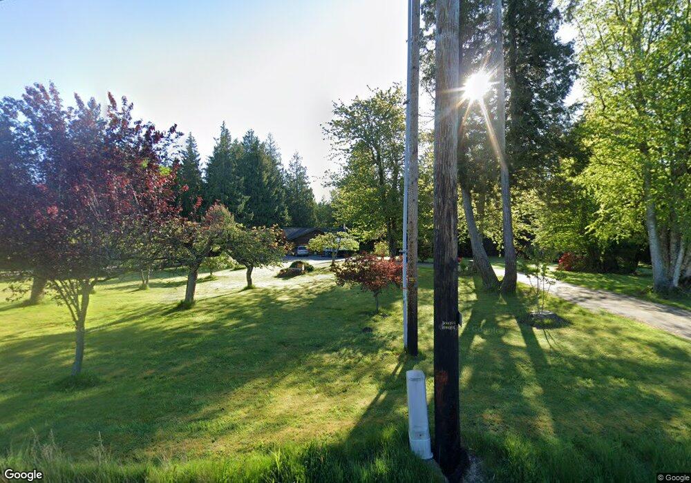
7601 State Route 9 Sedro Woolley, WA 98284
Estimated Value: $769,000 - $1,018,000
2
Beds
2
Baths
1,680
Sq Ft
$523/Sq Ft
Est. Value
About This Home
This home is located at 7601 State Route 9, Sedro Woolley, WA 98284 and is currently estimated at $879,074, approximately $523 per square foot. 7601 State Route 9 is a home located in Skagit County with nearby schools including Sedro-Woolley Senior High School.
Ownership History
Date
Name
Owned For
Owner Type
Purchase Details
Closed on
Dec 6, 2013
Sold by
Didszuhn David Peter
Bought by
Didszuhn Joy Michelle
Current Estimated Value
Purchase Details
Closed on
Mar 27, 2012
Sold by
Pitman Floyd
Bought by
Didszuhn David P and Didszuhn Joy M
Home Financials for this Owner
Home Financials are based on the most recent Mortgage that was taken out on this home.
Original Mortgage
$357,525
Interest Rate
3.83%
Create a Home Valuation Report for This Property
The Home Valuation Report is an in-depth analysis detailing your home's value as well as a comparison with similar homes in the area
Home Values in the Area
Average Home Value in this Area
Purchase History
| Date | Buyer | Sale Price | Title Company |
|---|---|---|---|
| Didszuhn Joy Michelle | -- | None Available | |
| Didszuhn David P | $350,280 | Chicago Title Company |
Source: Public Records
Mortgage History
| Date | Status | Borrower | Loan Amount |
|---|---|---|---|
| Previous Owner | Didszuhn David P | $357,525 |
Source: Public Records
Tax History Compared to Growth
Tax History
| Year | Tax Paid | Tax Assessment Tax Assessment Total Assessment is a certain percentage of the fair market value that is determined by local assessors to be the total taxable value of land and additions on the property. | Land | Improvement |
|---|---|---|---|---|
| 2024 | $7,610 | $844,100 | $254,500 | $589,600 |
| 2023 | $7,610 | $820,600 | $233,800 | $586,800 |
| 2022 | $7,038 | $776,500 | $217,400 | $559,100 |
| 2021 | $6,347 | $635,000 | $167,200 | $467,800 |
| 2020 | $5,770 | $534,400 | $0 | $0 |
| 2019 | $4,654 | $501,200 | $0 | $0 |
| 2018 | $5,382 | $472,600 | $0 | $0 |
| 2017 | $4,805 | $422,000 | $0 | $0 |
| 2016 | $4,640 | $379,700 | $91,200 | $288,500 |
| 2015 | $4,393 | $349,800 | $91,200 | $258,600 |
| 2013 | $3,812 | $311,400 | $0 | $0 |
Source: Public Records
Map
Nearby Homes
- 7311 State Route 9
- 1537 E Gateway Heights Loop
- 1479 W Gateway Heights Loop
- 1422 Porto Bello Ave
- 918 Marie Place
- 426 Longtime Ln
- 22788 Grip Rd
- 1011 Calkin Place
- 942 Presidio Place
- 803 Parkland Loop
- 804 Parkland Loop
- 915 Presidio Place
- 776 Parkland Loop
- 806 Parkland Loop
- 812 Dana Dr
- 700 N Reed St Unit 101
- 825 Parkland Loop
- 886 Carriage Ct
- 885 Carriage Ct
- 500 Briza Ln
- 7574 State Route 9
- 7496 N Fruitdale Rd
- 7705 State Route 9
- 7630 State Route 9
- 7461 State Route 9
- 7694 State Route 9
- 7747 Washington 9
- 7747 Washington 9
- 7747 Washington 9
- 7460 State Route 9
- 7735 State Route 9
- 7574 Washington 9
- 7581 Fruitdale Rd
- 7794 State Route 9
- 24028 Kalloch
- 7639 N Fruitdale Rd
- 7842 State Route 9
- 24282 Brandon Ln
- 7344 State Route 9
- 7886 State Route 9