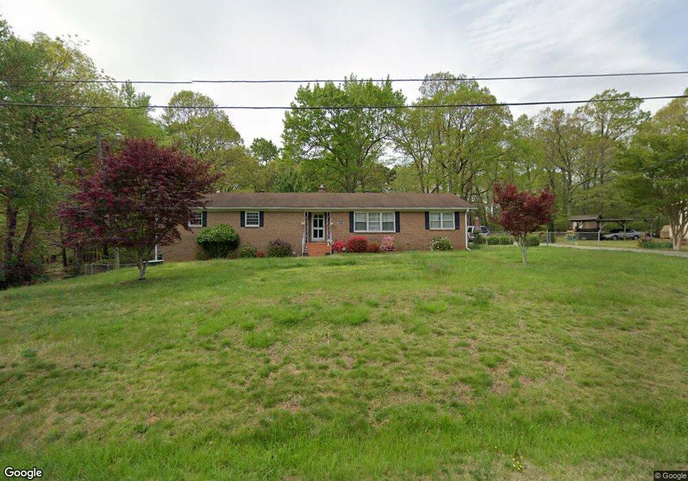
7605 Flormont Dr High Point, NC 27265
Estimated Value: $311,000 - $347,000
4
Beds
2
Baths
2,044
Sq Ft
$161/Sq Ft
Est. Value
About This Home
This home is located at 7605 Flormont Dr, High Point, NC 27265 and is currently estimated at $328,511, approximately $160 per square foot. 7605 Flormont Dr is a home located in Guilford County with nearby schools including Florence Elementary School, Southwest Guilford Middle School, and Southwest Guilford High School.
Ownership History
Date
Name
Owned For
Owner Type
Purchase Details
Closed on
Feb 14, 2024
Sold by
Moore Mona L
Bought by
Moore Setaria K
Current Estimated Value
Home Financials for this Owner
Home Financials are based on the most recent Mortgage that was taken out on this home.
Original Mortgage
$225,000
Outstanding Balance
$221,061
Interest Rate
6.66%
Mortgage Type
New Conventional
Estimated Equity
$107,450
Purchase Details
Closed on
Dec 16, 1992
Bought by
Legrand Ida P
Create a Home Valuation Report for This Property
The Home Valuation Report is an in-depth analysis detailing your home's value as well as a comparison with similar homes in the area
Home Values in the Area
Average Home Value in this Area
Purchase History
| Date | Buyer | Sale Price | Title Company |
|---|---|---|---|
| Moore Setaria K | -- | None Listed On Document | |
| Moore Setaria K | -- | None Listed On Document | |
| Legrand Ida P | -- | -- |
Source: Public Records
Mortgage History
| Date | Status | Borrower | Loan Amount |
|---|---|---|---|
| Open | Moore Setaria K | $225,000 | |
| Closed | Moore Setaria K | $225,000 |
Source: Public Records
Tax History
| Year | Tax Paid | Tax Assessment Tax Assessment Total Assessment is a certain percentage of the fair market value that is determined by local assessors to be the total taxable value of land and additions on the property. | Land | Improvement |
|---|---|---|---|---|
| 2025 | $1,588 | $185,800 | $50,000 | $135,800 |
| 2024 | $1,588 | $185,800 | $50,000 | $135,800 |
| 2023 | $1,588 | $185,800 | $50,000 | $135,800 |
| 2022 | $915 | $185,800 | $50,000 | $135,800 |
| 2021 | $664 | $135,700 | $36,000 | $99,700 |
| 2020 | $640 | $135,700 | $36,000 | $99,700 |
| 2019 | $640 | $135,700 | $0 | $0 |
| 2018 | $640 | $135,700 | $0 | $0 |
| 2017 | $640 | $135,700 | $0 | $0 |
Source: Public Records
Map
Nearby Homes
- 3973 Cobblestone Bend Dr
- 1650 Penny Rd
- 2922 Hearthstone Point Dr
- 3920 Cloverwood Meadow Ln
- 3332 Barnsdale Rd
- 3339 Cherrybrook Dr
- 3946 Cobblestone Bend Dr
- 3910 Copperfield Ct
- 3859 Copperfield Ct
- 3815 Copperfield Ct
- 3776 Windstream Way
- 904 Fairidge Dr
- 3871 Eagleston Ct
- 2116 Penny Rd
- 3911 Gisbourne Dr
- 117 Village Dr
- 3937 Elizabeth Glen Way
- 3724 Spanish Peak Dr Unit 2B
- 3869 Hickswood Creek Dr
- 3710 Spanish Peak Dr Unit 2D
- 7607 Flormont Dr
- 3100 McLong Dr
- 7606 Flormont Dr
- 7604 Flormont Dr
- 3103 McLong Dr
- 7611 Flormont Dr
- 3108 McLong Dr
- 7611 Halldale Rd
- 3108 McLong Dr
- 3105 McLong Dr
- 7607 Halldale Rd
- 7605 Halldale Rd
- 7613 Halldale Rd
- 7615 Halldale Rd
- 7603 Halldale Rd
- 3107 McLong Dr
- 3110 McLong Dr
- 7600 Flormont Dr
- 7615 Flormont Dr
- 7613 Flormont Dr
Your Personal Tour Guide
Ask me questions while you tour the home.