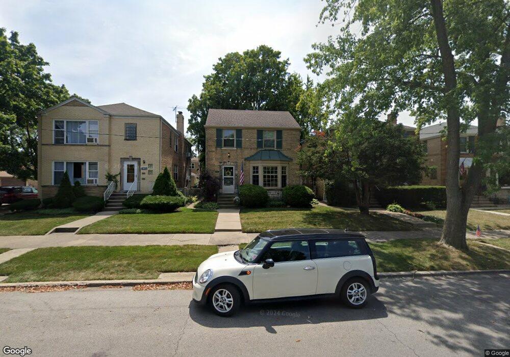
7605 W Isham Ave Unit 312 Chicago, IL 60631
Edison Park NeighborhoodEstimated Value: $398,000 - $550,000
3
Beds
1
Bath
1,188
Sq Ft
$384/Sq Ft
Est. Value
About This Home
This home is located at 7605 W Isham Ave Unit 312, Chicago, IL 60631 and is currently estimated at $456,090, approximately $383 per square foot. 7605 W Isham Ave Unit 312 is a home located in Cook County with nearby schools including Ebinger Elementary School, Taft High School, and Mary, Seat Of Wisdom School.
Ownership History
Date
Name
Owned For
Owner Type
Purchase Details
Closed on
Dec 11, 1998
Sold by
Allen John W and Allen Mary S
Bought by
Ritter Raymond J and Ritter Maria E
Current Estimated Value
Home Financials for this Owner
Home Financials are based on the most recent Mortgage that was taken out on this home.
Original Mortgage
$158,000
Outstanding Balance
$36,448
Interest Rate
6.96%
Estimated Equity
$419,642
Create a Home Valuation Report for This Property
The Home Valuation Report is an in-depth analysis detailing your home's value as well as a comparison with similar homes in the area
Home Values in the Area
Average Home Value in this Area
Purchase History
| Date | Buyer | Sale Price | Title Company |
|---|---|---|---|
| Ritter Raymond J | $200,000 | Chicago Title Insurance Co |
Source: Public Records
Mortgage History
| Date | Status | Borrower | Loan Amount |
|---|---|---|---|
| Open | Ritter Raymond J | $158,000 |
Source: Public Records
Tax History Compared to Growth
Tax History
| Year | Tax Paid | Tax Assessment Tax Assessment Total Assessment is a certain percentage of the fair market value that is determined by local assessors to be the total taxable value of land and additions on the property. | Land | Improvement |
|---|---|---|---|---|
| 2024 | $5,841 | $37,000 | $9,900 | $27,100 |
| 2023 | $5,673 | $31,000 | $7,920 | $23,080 |
| 2022 | $5,673 | $31,000 | $7,920 | $23,080 |
| 2021 | $5,564 | $31,000 | $7,920 | $23,080 |
| 2020 | $6,382 | $31,752 | $5,346 | $26,406 |
| 2019 | $6,399 | $35,281 | $5,346 | $29,935 |
| 2018 | $6,291 | $35,281 | $5,346 | $29,935 |
| 2017 | $4,902 | $26,148 | $4,752 | $21,396 |
| 2016 | $5,213 | $28,524 | $4,752 | $23,772 |
| 2015 | $4,746 | $28,524 | $4,752 | $23,772 |
| 2014 | $4,812 | $28,504 | $3,960 | $24,544 |
| 2013 | $4,706 | $28,504 | $3,960 | $24,544 |
Source: Public Records
Map
Nearby Homes
- 7425 W Devon Ave
- 1021 Cleveland Ave
- 1220 Canfield Rd
- 6625 N Northwest Hwy Unit 202
- 6524 N Northwest Hwy Unit A
- 6500 N Northwest Hwy
- 7725 W Myrtle Ave
- 6681 N Northwest Hwy
- 6490 N Northwest Hwy Unit 3F
- 6466 N Northwest Hwy Unit C1
- 6462 N Northwest Hwy Unit 104
- 6453 N Northwest Hwy Unit C5
- 6815 N Olmsted Ave Unit 203
- 6727 N Oketo Ave
- 6841 N Northwest Hwy Unit 3C
- 6852 N Northwest Hwy Unit 2B
- 6858 N Northwest Hwy Unit 2E
- 6253 N Harlem Ave
- 7204 W Myrtle Ave
- 7740 W Norwood St
- 7601 W Isham Ave
- 7609 W Isham Ave
- 7611 W Isham Ave
- 7615 W Isham Ave
- 7600 W Devon Ave
- 7600 W Devon Ave
- 7575 W Isham Ave
- 7619 W Isham Ave Unit 2
- 7606 W Devon Ave Unit 1
- 7606 W Devon Ave Unit 2
- 7606 W Devon Ave
- 7610 W Devon Ave
- 7614 W Devon Ave
- 7621 W Isham Ave
- 7573 W Isham Ave
- 7616 W Devon Ave Unit 1
- 7616 W Devon Ave Unit 1
- 7576 W Devon Ave Unit 1
- 7572 W Devon Ave
- 7569 W Isham Ave