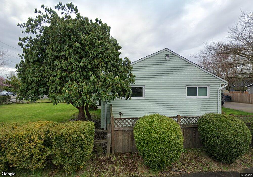
7608 Orting Hwy E Sumner, WA 98390
Estimated Value: $484,833 - $532,000
3
Beds
1
Bath
1,305
Sq Ft
$384/Sq Ft
Est. Value
About This Home
This home is located at 7608 Orting Hwy E, Sumner, WA 98390 and is currently estimated at $501,208, approximately $384 per square foot. 7608 Orting Hwy E is a home located in Pierce County with nearby schools including Maple Lawn Elementary School, Sumner Middle School, and Sumner High School.
Ownership History
Date
Name
Owned For
Owner Type
Purchase Details
Closed on
Dec 3, 1998
Sold by
Doughty Charles C
Bought by
Baerny Matthew L and Baerny Chantelle
Current Estimated Value
Home Financials for this Owner
Home Financials are based on the most recent Mortgage that was taken out on this home.
Original Mortgage
$102,147
Outstanding Balance
$16,642
Interest Rate
6.69%
Mortgage Type
FHA
Estimated Equity
$484,566
Create a Home Valuation Report for This Property
The Home Valuation Report is an in-depth analysis detailing your home's value as well as a comparison with similar homes in the area
Home Values in the Area
Average Home Value in this Area
Purchase History
| Date | Buyer | Sale Price | Title Company |
|---|---|---|---|
| Baerny Matthew L | $103,000 | Transnaton Title Insurance C |
Source: Public Records
Mortgage History
| Date | Status | Borrower | Loan Amount |
|---|---|---|---|
| Open | Baerny Matthew L | $102,147 |
Source: Public Records
Tax History
| Year | Tax Paid | Tax Assessment Tax Assessment Total Assessment is a certain percentage of the fair market value that is determined by local assessors to be the total taxable value of land and additions on the property. | Land | Improvement |
|---|---|---|---|---|
| 2025 | $4,289 | $428,000 | $229,200 | $198,800 |
| 2024 | $4,289 | $417,600 | $213,600 | $204,000 |
| 2023 | $4,289 | $414,300 | $224,900 | $189,400 |
| 2022 | $4,299 | $426,800 | $246,800 | $180,000 |
| 2021 | $4,078 | $309,100 | $150,800 | $158,300 |
| 2019 | $3,249 | $286,200 | $127,700 | $158,500 |
| 2018 | $3,347 | $259,900 | $109,600 | $150,300 |
| 2017 | $2,727 | $236,400 | $90,400 | $146,000 |
| 2016 | $2,267 | $180,600 | $64,500 | $116,100 |
| 2014 | $2,062 | $170,100 | $67,500 | $102,600 |
| 2013 | $2,062 | $152,700 | $61,400 | $91,300 |
Source: Public Records
Map
Nearby Homes
- 7608 145th Avenue Ct E Unit 30
- 8011 148th Avenue Ct E
- 14717 73rd St E
- 7526 145th Ave E Unit 41
- 8401 State Route 162 E
- 15708 81st St E Unit 131
- 15713 81st St E Unit 135
- 8410 143rd Avenue Ct E
- 8512 144th Ave E Unit 44
- 8608 143rd Avenue Ct E Unit 14
- 1107 Adele St
- 1314 Rainier St
- 8705 143rd Avenue Ct E Unit 48
- 6219 153rd Avenue Ct E
- 520 Sumner Ave Unit 524
- 328 Cherry Ave
- 3901 14th Ave SE
- 1415 39th St SE
- 152 Christina Dr
- 7413 166th Ave E
- 7616 Orting Hwy E
- 14922 Rivergrove Dr E
- 14916 Rivergrove Dr E
- 14931 Rivergrove Dr E
- 14925 Rivergrove Dr E
- 7603 149th Ave E
- 7624 Orting Hwy E
- 7607 149th Ave E
- 7521 State Route 162 E
- 14921 Rivergrove Dr E
- 14918 75th Street Ct E
- 7611 149th Ave E
- 14910 75th Street Ct E
- 14915 Rivergrove Dr E
- 7613 149th Ave E
- 14907 Benton Loop
- 14905 Benton Loop
- 7523 149th Avct E
- 7523 149th Avenue Ct E
- 14903 Benton Loop
