7609 Energy Pkwy Baltimore, MD 21226
Solley NeighborhoodEstimated Value: $4,022,802
--
Bed
--
Bath
40,894
Sq Ft
$98/Sq Ft
Est. Value
About This Home
This home is located at 7609 Energy Pkwy, Baltimore, MD 21226 and is currently estimated at $4,022,802, approximately $98 per square foot. 7609 Energy Pkwy is a home located in Anne Arundel County with nearby schools including Solley Elementary School, Northeast Middle School, and Northeast High School.
Ownership History
Date
Name
Owned For
Owner Type
Purchase Details
Closed on
Jul 13, 2005
Sold by
Old Padonia Llc
Bought by
Melhi Amrik Singh and Melhi Ravinder Kaur
Current Estimated Value
Purchase Details
Closed on
May 11, 2001
Sold by
Sunningdale Investments Llc
Bought by
Old Padonia Llc
Purchase Details
Closed on
Dec 30, 1999
Sold by
Copt Brandon Llc
Bought by
Sunningdale Investments Llc
Purchase Details
Closed on
Oct 14, 1998
Sold by
Constellation Properties Inc
Bought by
Copt Brandon Llc
Create a Home Valuation Report for This Property
The Home Valuation Report is an in-depth analysis detailing your home's value as well as a comparison with similar homes in the area
Home Values in the Area
Average Home Value in this Area
Purchase History
| Date | Buyer | Sale Price | Title Company |
|---|---|---|---|
| Melhi Amrik Singh | $2,625,000 | -- | |
| Old Padonia Llc | $1,750,000 | -- | |
| Sunningdale Investments Llc | $1,260,000 | -- | |
| Copt Brandon Llc | $1,250,000 | -- |
Source: Public Records
Tax History Compared to Growth
Tax History
| Year | Tax Paid | Tax Assessment Tax Assessment Total Assessment is a certain percentage of the fair market value that is determined by local assessors to be the total taxable value of land and additions on the property. | Land | Improvement |
|---|---|---|---|---|
| 2025 | $29,496 | $2,463,000 | -- | -- |
| 2024 | $29,496 | $2,375,500 | $1,414,400 | $961,100 |
| 2023 | $29,255 | $2,375,400 | $0 | $0 |
| 2022 | $27,980 | $2,375,300 | $0 | $0 |
| 2021 | $70,416 | $3,067,000 | $1,414,400 | $1,652,600 |
| 2020 | $35,238 | $3,067,000 | $1,414,400 | $1,652,600 |
| 2019 | $39,694 | $3,489,467 | $0 | $0 |
| 2018 | $34,527 | $3,405,000 | $1,414,400 | $1,990,600 |
| 2017 | $36,849 | $3,325,433 | $0 | $0 |
| 2016 | -- | $3,241,900 | $0 | $0 |
| 2015 | -- | $3,166,300 | $0 | $0 |
| 2014 | -- | $3,067,733 | $0 | $0 |
Source: Public Records
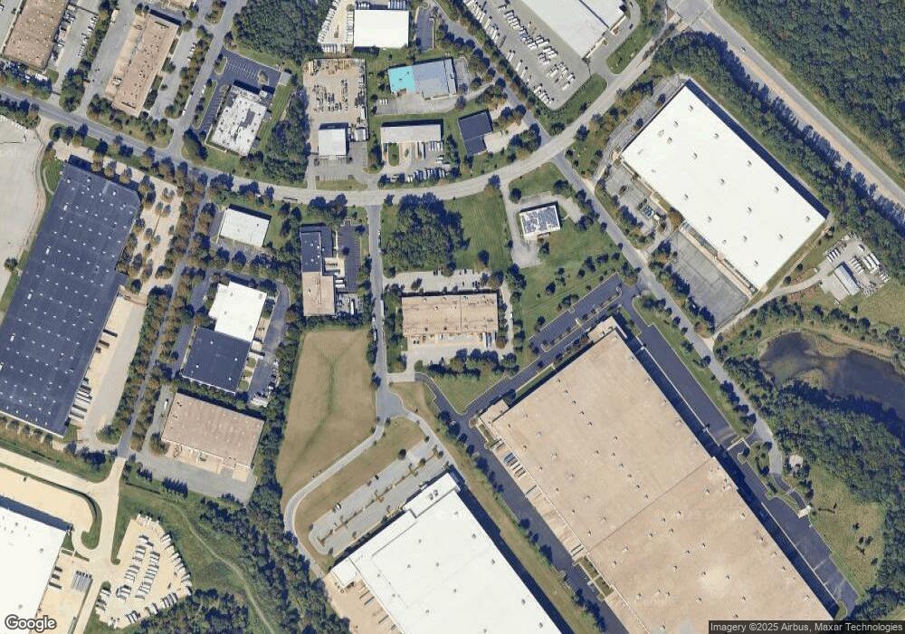
Map
Nearby Homes
- 1014 Chestnut Haven Ct
- 7711 Gaston Place
- 612 Warblers Perch Way
- 7416 Willow View Ln
- 1220 Swanhill Ct
- 7308 Mockingbird Cir
- 6949 Heritage Crossing
- 1193 Coulbourn Corner
- 8000 Fort Smallwood Rd
- 215 Sycamore Rd
- 8002 Fort Smallwood Rd
- 7172 Springhouse Ln
- 7207 Stallings Dr
- 7235 Stallings Dr
- 7260 Mockingbird Cir
- 7224 Mockingbird Cir
- 211 Green Ridge Ln
- 6837 Archibald Dr
- 7343 1 Green Acres Dr
- 7343 2 Green Acres Dr
- 7615 Energy Pkwy
- 7601 Brandon Woods Blvd
- 0 Energy Unit MDAA2105770
- 7610 Energy Pkwy
- 7509 Resource Ct
- 7525 Perryman Ct
- 7605 Energy Pkwy
- 7606 Energy Pkwy
- 7505 Resource Ct
- 7529 Perryman Ct
- 7604 Energy Pkwy
- 7501 Resource Ct
- 7621 Energy Pkwy
- 7508 Resource Ct
- 7611 Brandon Woods Blvd
- 7505 Energy Ct
- 7504 Resource Ct
- 7500 Resource Ct
- 7501 Energy Ct
- 7603 Energy Pkwy