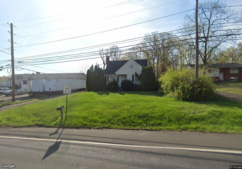
761 Route 113 Souderton, PA 18964
Estimated Value: $362,000 - $446,000
3
Beds
1
Bath
1,452
Sq Ft
$278/Sq Ft
Est. Value
About This Home
This home is located at 761 Route 113, Souderton, PA 18964 and is currently estimated at $403,724, approximately $278 per square foot. 761 Route 113 is a home located in Bucks County with nearby schools including Pennridge High School, Souderton Charter School Collaborative, and Grace Christian School.
Ownership History
Date
Name
Owned For
Owner Type
Purchase Details
Closed on
Apr 25, 1997
Sold by
Fretz William L and Fretz Mildred June
Bought by
Richter Alfred H and Richter Kim D
Current Estimated Value
Home Financials for this Owner
Home Financials are based on the most recent Mortgage that was taken out on this home.
Original Mortgage
$130,500
Interest Rate
7.77%
Mortgage Type
Seller Take Back
Purchase Details
Closed on
Sep 21, 1949
Bought by
Fretz William L and Fretz Mildred J
Create a Home Valuation Report for This Property
The Home Valuation Report is an in-depth analysis detailing your home's value as well as a comparison with similar homes in the area
Home Values in the Area
Average Home Value in this Area
Purchase History
| Date | Buyer | Sale Price | Title Company |
|---|---|---|---|
| Richter Alfred H | $145,000 | -- | |
| Fretz William L | -- | -- |
Source: Public Records
Mortgage History
| Date | Status | Borrower | Loan Amount |
|---|---|---|---|
| Closed | Richter Alfred H | $130,500 |
Source: Public Records
Tax History Compared to Growth
Tax History
| Year | Tax Paid | Tax Assessment Tax Assessment Total Assessment is a certain percentage of the fair market value that is determined by local assessors to be the total taxable value of land and additions on the property. | Land | Improvement |
|---|---|---|---|---|
| 2025 | $4,389 | $25,600 | $8,240 | $17,360 |
| 2024 | $4,389 | $25,600 | $8,240 | $17,360 |
| 2023 | $4,338 | $25,600 | $8,240 | $17,360 |
| 2022 | $4,338 | $25,600 | $8,240 | $17,360 |
| 2021 | $4,338 | $25,600 | $8,240 | $17,360 |
| 2020 | $4,338 | $25,600 | $8,240 | $17,360 |
| 2019 | $4,312 | $25,600 | $8,240 | $17,360 |
| 2018 | $4,312 | $25,600 | $8,240 | $17,360 |
| 2017 | $4,280 | $25,600 | $8,240 | $17,360 |
| 2016 | $4,280 | $25,600 | $8,240 | $17,360 |
| 2015 | -- | $25,600 | $8,240 | $17,360 |
| 2014 | -- | $25,600 | $8,240 | $17,360 |
Source: Public Records
Map
Nearby Homes
- 447 Manor House Ln
- 532 Lincoln Ave
- 3379 Bethlehem Pike
- 536 Valley Ln
- 517 Hemsing Cir
- 1047 Spur Rd
- 3 Carousel Dr
- 428 E Broad St
- 837 Wynnefield Dr
- 153 Deerfield Dr
- 54 Reliance Ct
- 333 Fairhill Rd
- 115 Deerfield Dr
- 17 N 2nd St
- 208 E Broad St
- 10 Queen Anne Way
- 340 S Main St
- 13 Clovedale Way
- 23 Orchard Cir
- 227 Ridge Ave
- 755 Route 113
- 746 Route 113
- 00 Clearview Rd
- 753 Route 113
- 744 Route 113
- 742 Route 113
- 740 Route 113
- 749 Route 113
- 3499 Bethlehem Pike
- 3505 Bethlehem Pike
- 3544 Bethlehem Pike
- 3323 Spur Rd
- 3530 Bethlehem Pike
- 489 Cherry Rd
- 499 Cherry Rd
- 496 Cherry Rd
- 1001 Cherry Dr
- 498 Cherry Rd
- 1005 Cherry Dr
- 505 Cherry Rd