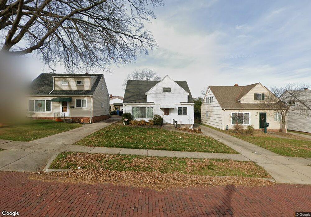
7610 Newport Ave Cleveland, OH 44129
Estimated Value: $170,025 - $188,000
3
Beds
1
Bath
1,092
Sq Ft
$162/Sq Ft
Est. Value
About This Home
This home is located at 7610 Newport Ave, Cleveland, OH 44129 and is currently estimated at $177,006, approximately $162 per square foot. 7610 Newport Ave is a home located in Cuyahoga County with nearby schools including Ridge-Brook Elementary School, Greenbriar Middle School, and Parma High School.
Ownership History
Date
Name
Owned For
Owner Type
Purchase Details
Closed on
May 5, 2015
Sold by
Estate Of Rosemary F Sanders
Bought by
Sanders Deborah Lynn
Current Estimated Value
Purchase Details
Closed on
Mar 3, 1993
Sold by
Sanders Michael M
Bought by
Sanders Rosemary F
Purchase Details
Closed on
May 7, 1976
Sold by
Duhn David C and Duhn Joanne C
Bought by
Sanders Michael M
Purchase Details
Closed on
Jan 1, 1975
Bought by
Duhn David C and Duhn Joanne C
Create a Home Valuation Report for This Property
The Home Valuation Report is an in-depth analysis detailing your home's value as well as a comparison with similar homes in the area
Home Values in the Area
Average Home Value in this Area
Purchase History
| Date | Buyer | Sale Price | Title Company |
|---|---|---|---|
| Sanders Deborah Lynn | -- | Attorney | |
| Sanders Rosemary F | -- | -- | |
| Sanders Michael M | $31,000 | -- | |
| Duhn David C | -- | -- |
Source: Public Records
Tax History Compared to Growth
Tax History
| Year | Tax Paid | Tax Assessment Tax Assessment Total Assessment is a certain percentage of the fair market value that is determined by local assessors to be the total taxable value of land and additions on the property. | Land | Improvement |
|---|---|---|---|---|
| 2024 | $2,924 | $47,075 | $9,940 | $37,135 |
| 2023 | $2,512 | $34,550 | $8,190 | $26,360 |
| 2022 | $2,488 | $34,550 | $8,190 | $26,360 |
| 2021 | $2,556 | $34,550 | $8,190 | $26,360 |
| 2020 | $2,244 | $26,570 | $6,300 | $20,270 |
| 2019 | $2,142 | $75,900 | $18,000 | $57,900 |
| 2018 | $2,154 | $26,570 | $6,300 | $20,270 |
| 2017 | $1,993 | $22,790 | $4,410 | $18,380 |
| 2016 | $1,982 | $22,790 | $4,410 | $18,380 |
| 2015 | $1,988 | $22,790 | $4,410 | $18,380 |
| 2014 | $1,988 | $24,260 | $4,690 | $19,570 |
Source: Public Records
Map
Nearby Homes
- 7707 Liberty Ave
- 8206 Newport Ave
- 6606 Theota Ave
- 8018 Pinegrove Ave
- 6211 Luelda Ave
- 8119 Pinegrove Ave
- 6014 Laverne Ave
- 5906 Velma Ave
- 6508 Delora Ave
- 6306 Flowerdale Ave
- 5810 Laverne Ave
- 6011 Theota Ave
- 7609 Wooster Pkwy
- 5618 Bradley Ave
- 6209 Archmere Ave
- 9118 Fernhill Ave
- 6025 Northcliff Ave
- 5511 Velma Ave
- 5901 Delora Ave
- 6903 Forest Ave
- 7606 Newport Ave
- 7614 Newport Ave
- 7602 Newport Ave
- 7618 Newport Ave
- 7702 Newport Ave
- 7542 Newport Ave
- 7607 Liberty Ave
- 7615 Liberty Ave
- 7603 Liberty Ave
- 7706 Newport Ave
- 7703 Liberty Ave
- 7518 Newport Ave
- 7523 Liberty Ave
- 7611 Newport Ave
- 7615 Newport Ave
- 7607 Newport Ave
- 7619 Newport Ave
- 7603 Newport Ave
- 7710 Newport Ave
- 7519 Liberty Ave