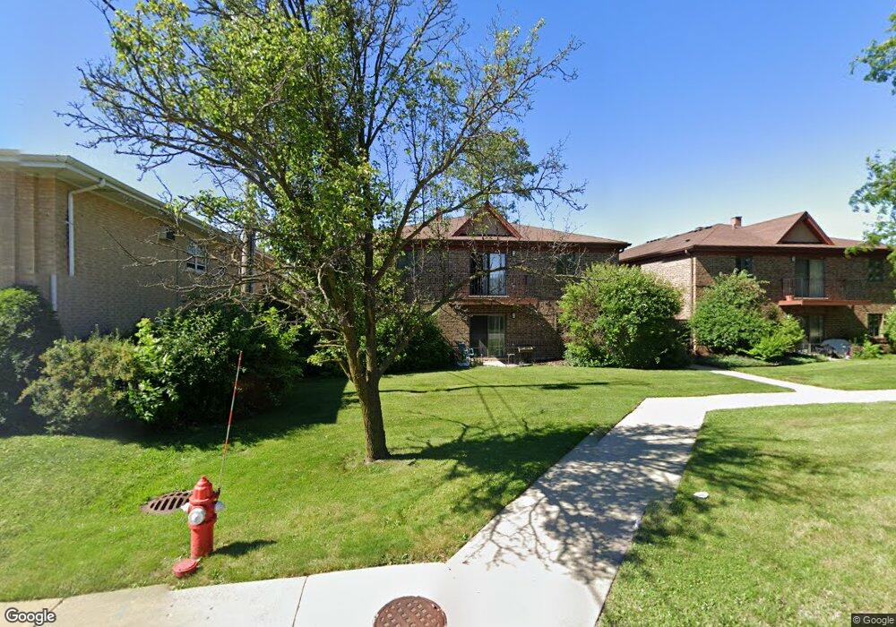
7610 W 26th St Unit 2 Riverside, IL 60546
North Riverside AreaEstimated Value: $227,000 - $249,000
About This Home
This home is located at 7610 W 26th St Unit 2, Riverside, IL 60546 and is currently estimated at $239,945, approximately $229 per square foot. 7610 W 26th St Unit 2 is a home located in Cook County with nearby schools including A F Ames Elementary School, L J Hauser Jr High School, and Riverside Brookfield High School.
Ownership History
We collect this data history from publicly available records. To have your information removed, we recommend requesting removal directly through your county’s website.
Purchase Details
Home Values in the Area
Average Home Value in this Area
Purchase History
We collect this data history from publicly available records. To have your information removed, we recommend requesting removal directly through your county’s website.
| Date | Buyer | Sale Price | Title Company |
|---|---|---|---|
| $73,333 | Chicago Title Insurance Co |
Tax History
We collect this data history from publicly available records. To have your information removed, we recommend requesting removal directly through your county’s website.
| Year | Tax Paid | Tax Assessment Tax Assessment Total Assessment is a certain percentage of the fair market value that is determined by local assessors to be the total taxable value of land and additions on the property. | Land | Improvement |
|---|---|---|---|---|
| 2025 | $14 | $16,599 | $3,740 | $12,859 |
| 2024 | $14 | $16,599 | $3,740 | $12,859 |
| 2023 | $17 | $16,599 | $3,740 | $12,859 |
| 2022 | $17 | $14,836 | $1,963 | $12,873 |
| 2021 | $16 | $14,835 | $1,963 | $12,872 |
| 2020 | $14 | $14,835 | $1,963 | $12,872 |
| 2019 | $15 | $12,799 | $1,776 | $11,023 |
| 2018 | $15 | $12,799 | $1,776 | $11,023 |
| 2017 | $14 | $12,799 | $1,776 | $11,023 |
| 2016 | $667 | $14,275 | $1,495 | $12,780 |
| 2015 | $683 | $14,275 | $1,495 | $12,780 |
| 2014 | $668 | $14,275 | $1,495 | $12,780 |
| 2013 | $634 | $14,915 | $1,495 | $13,420 |
Map
- 2500 Westover Ave
- 7818 W 26th St Unit 1N
- 2359 Burr Oak Ave
- 234 Southcote Rd
- 564 Selborne Rd
- 2433 Keystone Ave
- 2257 Des Plaines Ave Unit 1NE
- 2230 Keystone Ave
- 2217 Keystone Ave
- 350 N Delaplaine Rd
- 253 Northwood Rd
- 731 Selborne Rd
- 404 Shenstone Rd
- 7047 26th Pkwy
- 443 Shenstone Rd
- 197 Woodside Rd
- 8223 W 30th St
- 166 Akenside Rd
- 475 Shenstone Rd Unit 304
- 2841 Wenonah Ave
- 7610 W 26th St Unit 3
- 7610 W 26th St Unit 1
- 7610 W 26th St Unit 7
- 7610 W 26th St Unit 5
- 7610 W 26th St Unit 4
- 7636 W 26th St Unit 2-W
- 7636 W 26th St
- 7638 W 26th St
- 7638 W 26th St Unit 2W
- 7638 W 26th St Unit 1W
- 2527 Hainsworth Ave
- 2525 Hainsworth Ave
- 2523 Hainsworth Ave
- 2521 Hainsworth Ave
- 2519 Hainsworth Ave
- 7625 W 25th St
- 468 Northgate Ct
- 2515 Hainsworth Ave
- 2513 Hainsworth Ave
- 473 Northgate Ct
Ask me questions while you tour the home.