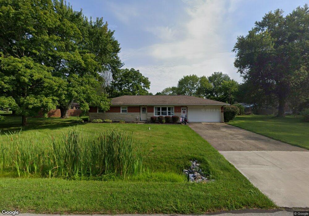
7614 Burns Dr Brownsburg, IN 46112
Estimated Value: $241,000 - $294,000
3
Beds
2
Baths
1,117
Sq Ft
$231/Sq Ft
Est. Value
About This Home
This home is located at 7614 Burns Dr, Brownsburg, IN 46112 and is currently estimated at $258,476, approximately $231 per square foot. 7614 Burns Dr is a home located in Hendricks County with nearby schools including Eagle Elementary School, Brownsburg West Middle School, and Brownsburg High School.
Ownership History
Date
Name
Owned For
Owner Type
Purchase Details
Closed on
Oct 15, 2008
Sold by
Martin Stanley N and Martin Jean A
Bought by
Gehring Daniel E and Gehring Erin E
Current Estimated Value
Home Financials for this Owner
Home Financials are based on the most recent Mortgage that was taken out on this home.
Original Mortgage
$109,998
Outstanding Balance
$71,404
Interest Rate
5.94%
Mortgage Type
FHA
Estimated Equity
$187,072
Purchase Details
Closed on
Dec 30, 2004
Sold by
North West Hendericks School Corp
Bought by
Martin Stanley N and Martin Jean A
Home Financials for this Owner
Home Financials are based on the most recent Mortgage that was taken out on this home.
Original Mortgage
$79,200
Interest Rate
5.9%
Mortgage Type
New Conventional
Create a Home Valuation Report for This Property
The Home Valuation Report is an in-depth analysis detailing your home's value as well as a comparison with similar homes in the area
Home Values in the Area
Average Home Value in this Area
Purchase History
| Date | Buyer | Sale Price | Title Company |
|---|---|---|---|
| Gehring Daniel E | -- | None Available | |
| Martin Stanley N | -- | None Available |
Source: Public Records
Mortgage History
| Date | Status | Borrower | Loan Amount |
|---|---|---|---|
| Open | Gehring Daniel E | $109,998 | |
| Previous Owner | Martin Stanley N | $79,200 |
Source: Public Records
Tax History Compared to Growth
Tax History
| Year | Tax Paid | Tax Assessment Tax Assessment Total Assessment is a certain percentage of the fair market value that is determined by local assessors to be the total taxable value of land and additions on the property. | Land | Improvement |
|---|---|---|---|---|
| 2024 | $3,136 | $156,800 | $36,100 | $120,700 |
| 2023 | $3,138 | $156,800 | $36,100 | $120,700 |
| 2022 | $2,968 | $149,300 | $34,400 | $114,900 |
| 2021 | $2,666 | $134,100 | $34,400 | $99,700 |
| 2020 | $2,552 | $128,400 | $34,400 | $94,000 |
| 2019 | $2,448 | $123,200 | $33,100 | $90,100 |
| 2018 | $2,263 | $113,100 | $33,100 | $80,000 |
| 2017 | $2,131 | $106,500 | $31,500 | $75,000 |
| 2016 | $2,073 | $103,600 | $31,500 | $72,100 |
| 2014 | $1,986 | $99,200 | $30,600 | $68,600 |
Source: Public Records
Map
Nearby Homes
- 7395 N State Road 267
- 203 Woodside Ct
- 7250 N State Road 267
- 7633 Janean Dr
- 256 Brooks Bend
- 7252 Barrett Dr
- 7242 Barrett Dr
- 7263 Barrett Dr
- 7215 Barrett Dr
- 1505 Arbor Springs Dr
- 7680 Sherry Ln
- 7706 Firethorn Ct
- 8001 Parkview
- 7080 E County Road 700 N
- 6773 Highland Way
- 10848 Sablecliff Way
- 7101 Oak Trace Ln
- 6933 Sonora Blvd
- 10810 Arendale Dr
- 7820 Highland Park Dr