7615 S Camile Ct Cheney, WA 99004
Estimated Value: $442,000 - $479,000
4
Beds
3
Baths
1,960
Sq Ft
$233/Sq Ft
Est. Value
About This Home
This home is located at 7615 S Camile Ct, Cheney, WA 99004 and is currently estimated at $456,562, approximately $232 per square foot. 7615 S Camile Ct is a home located in Spokane County with nearby schools including Phil Snowdon Elementary School, Westwood Middle School, and Cheney High School.
Ownership History
Date
Name
Owned For
Owner Type
Purchase Details
Closed on
Sep 20, 2010
Sold by
Crystal Meadows Lp
Bought by
Oliver Patrick M and Oliver Misty D
Current Estimated Value
Home Financials for this Owner
Home Financials are based on the most recent Mortgage that was taken out on this home.
Original Mortgage
$212,461
Outstanding Balance
$139,867
Interest Rate
4.38%
Mortgage Type
VA
Estimated Equity
$316,695
Create a Home Valuation Report for This Property
The Home Valuation Report is an in-depth analysis detailing your home's value as well as a comparison with similar homes in the area
Home Values in the Area
Average Home Value in this Area
Purchase History
| Date | Buyer | Sale Price | Title Company |
|---|---|---|---|
| Oliver Patrick M | $208,270 | Inland Professional Title |
Source: Public Records
Mortgage History
| Date | Status | Borrower | Loan Amount |
|---|---|---|---|
| Open | Oliver Patrick M | $212,461 |
Source: Public Records
Tax History Compared to Growth
Tax History
| Year | Tax Paid | Tax Assessment Tax Assessment Total Assessment is a certain percentage of the fair market value that is determined by local assessors to be the total taxable value of land and additions on the property. | Land | Improvement |
|---|---|---|---|---|
| 2025 | $4,150 | $415,300 | $80,000 | $335,300 |
| 2024 | $4,150 | $422,200 | $70,000 | $352,200 |
| 2023 | $3,402 | $434,800 | $70,000 | $364,800 |
| 2022 | $3,391 | $404,600 | $65,000 | $339,600 |
| 2021 | $3,194 | $285,400 | $46,500 | $238,900 |
| 2020 | $2,991 | $255,500 | $45,000 | $210,500 |
| 2019 | $2,744 | $246,900 | $45,000 | $201,900 |
| 2018 | $2,893 | $221,100 | $35,000 | $186,100 |
| 2017 | $2,431 | $206,200 | $38,000 | $168,200 |
| 2016 | $2,490 | $203,200 | $38,000 | $165,200 |
| 2015 | $2,530 | $197,500 | $38,000 | $159,500 |
| 2014 | -- | $193,700 | $38,000 | $155,700 |
| 2013 | -- | $0 | $0 | $0 |
Source: Public Records
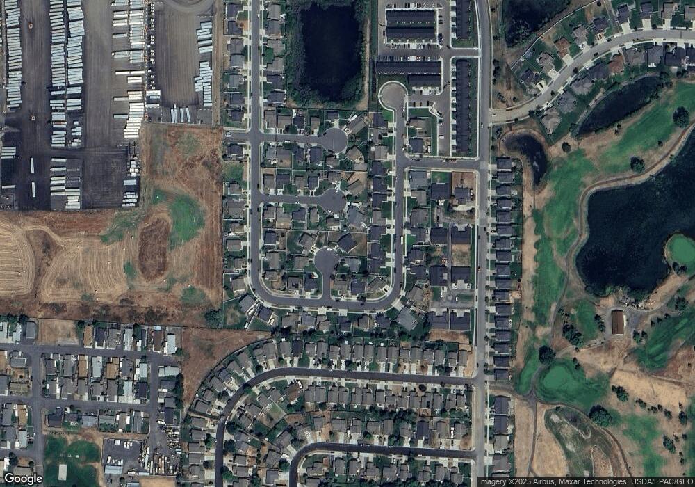
Map
Nearby Homes
- 7619 Camille Ct
- 7508 S Dour St
- 10214 W January Ct
- 7418 S Dour St
- 7316 S Dour St
- 10510 W Richland Rd Unit 28
- 10510 W Richland Rd Unit Lot 49
- 10510 W Richland Rd Unit 11
- 10510 W Richland Rd Unit 10
- 10510 W Richland Rd Unit 37
- 10510 W Richland Rd Unit 12
- 88xx S Fruitvale Ln
- 8014 S Blackberry St
- 8017 S Fruitvale Ln
- 10314 W Lingonberry Ct
- 10510 W Richland #94 Ln
- 10510 W Richland #29 Rd
- 10254 Sorenstam Rd
- 10254 W Sorenstam Rd
- 10238 Sorenstam Rd
- 7615 Camile Ct
- 7619 S Camile Ct
- 7619 Camile Ct
- 10119 W Gabi Ct
- 10117 W Gabi Ct
- 10117 Gabi Ct
- 7608 S Dana St
- 7608 S Dana St Unit CM43
- 7520 S Dana St
- 7520 S Dana St Unit CM42
- 7612 S Dana St
- 7518 S Dana St Unit CM41
- 7518 S Dana St
- 10201 W Gabi Ct
- 7612 S Camile Ct
- 7612 Camile Ct
- 10114 W Natalie Ave
- 10114 Natalie Ave
- 10112 W Natalie Ave
- 10112 Natalie Ave