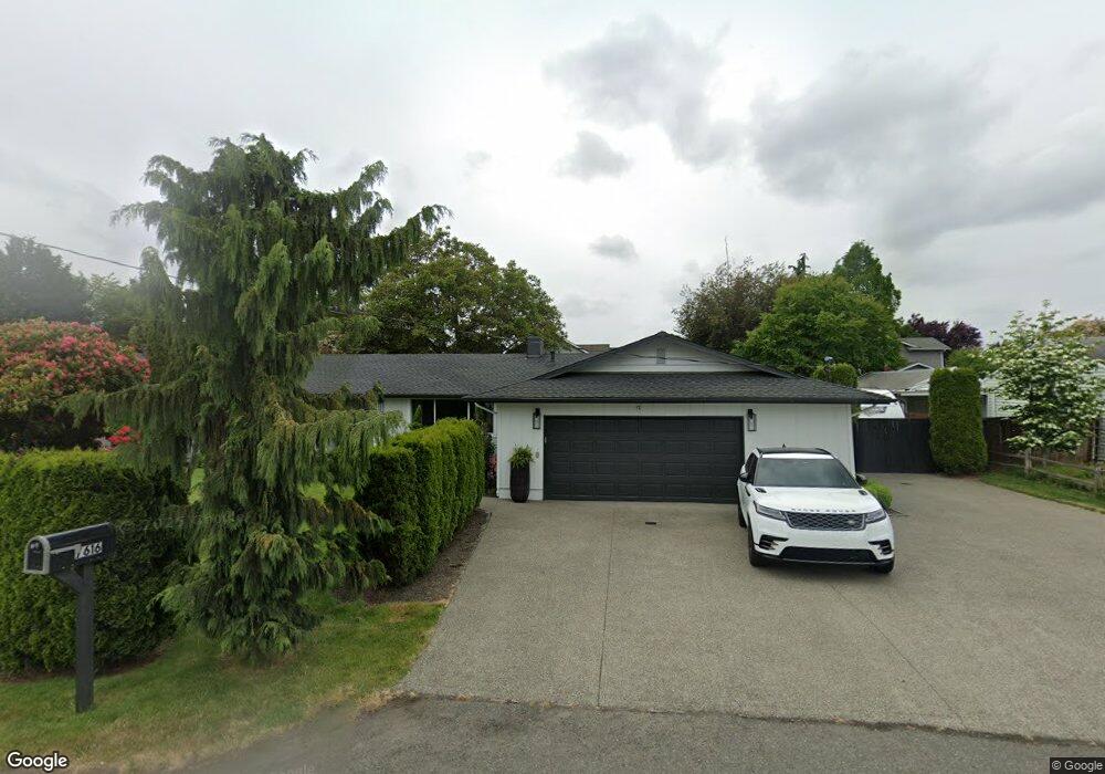
7616 Orting Hwy E Sumner, WA 98390
Estimated Value: $540,000 - $586,268
3
Beds
2
Baths
1,608
Sq Ft
$349/Sq Ft
Est. Value
About This Home
This home is located at 7616 Orting Hwy E, Sumner, WA 98390 and is currently estimated at $560,817, approximately $348 per square foot. 7616 Orting Hwy E is a home located in Pierce County with nearby schools including Maple Lawn Elementary School, Sumner Middle School, and Sumner High School.
Ownership History
Date
Name
Owned For
Owner Type
Purchase Details
Closed on
Apr 3, 2001
Sold by
Redmond Brian
Bought by
Martinez Roberto and Martinez Norma L
Current Estimated Value
Home Financials for this Owner
Home Financials are based on the most recent Mortgage that was taken out on this home.
Original Mortgage
$135,867
Outstanding Balance
$50,720
Interest Rate
7.19%
Mortgage Type
FHA
Estimated Equity
$510,097
Create a Home Valuation Report for This Property
The Home Valuation Report is an in-depth analysis detailing your home's value as well as a comparison with similar homes in the area
Home Values in the Area
Average Home Value in this Area
Purchase History
| Date | Buyer | Sale Price | Title Company |
|---|---|---|---|
| Martinez Roberto | $160,549 | Fidelity National Title Co |
Source: Public Records
Mortgage History
| Date | Status | Borrower | Loan Amount |
|---|---|---|---|
| Open | Martinez Roberto | $135,867 |
Source: Public Records
Tax History
| Year | Tax Paid | Tax Assessment Tax Assessment Total Assessment is a certain percentage of the fair market value that is determined by local assessors to be the total taxable value of land and additions on the property. | Land | Improvement |
|---|---|---|---|---|
| 2025 | $5,294 | $548,900 | $251,100 | $297,800 |
| 2024 | $5,294 | $518,800 | $237,800 | $281,000 |
| 2023 | $5,294 | $511,600 | $250,400 | $261,200 |
| 2022 | $5,300 | $523,000 | $274,800 | $248,200 |
| 2021 | $5,018 | $380,600 | $167,900 | $212,700 |
| 2019 | $4,080 | $360,300 | $144,900 | $215,400 |
| 2018 | $4,230 | $326,600 | $124,400 | $202,200 |
| 2017 | $3,478 | $298,900 | $102,600 | $196,300 |
| 2016 | $2,856 | $231,100 | $73,200 | $157,900 |
| 2014 | $2,654 | $214,400 | $76,600 | $137,800 |
| 2013 | $2,654 | $193,800 | $69,700 | $124,100 |
Source: Public Records
Map
Nearby Homes
- 14925 Rivergrove Dr E
- 14925 Benton Loop
- 7503 Village Dr
- 7608 145th Avenue Ct E Unit 30
- 14619 80th St E
- 14523 Pioneer Way E
- 15708 81st St E Unit 131
- 15713 81st St E Unit 135
- 1704 Rainier St
- 8607 143rd Ave E Unit 44
- 8410 143rd Avenue Ct E
- 8512 144th Ave E Unit 44
- 14002 70th Street Ct E
- 14003 70th St E
- 8705 143rd Avenue Ct E Unit 48
- 414 Sumner Ave
- 16221 75th St E
- 520 Sumner Ave Unit 524
- 328 Cherry Ave
- 3907 14th Ave SE
- 7608 Orting Hwy E
- 14916 Rivergrove Dr E
- 7624 Orting Hwy E
- 14922 Rivergrove Dr E
- 7607 149th Ave E
- 7611 149th Ave E
- 14907 Benton Loop
- 7603 149th Ave E
- 7613 149th Ave E
- 14905 Benton Loop
- 14931 Rivergrove Dr E
- 14903 Benton Loop
- 14909 Benton Loop
- 7521 State Route 162 E
- 14921 Rivergrove Dr E
- 14901 Benton Loop
- 14918 75th Street Ct E
- 14915 Rivergrove Dr E
- 14910 75th Street Ct E
- 14911 Benton Loop
Your Personal Tour Guide
Ask me questions while you tour the home.