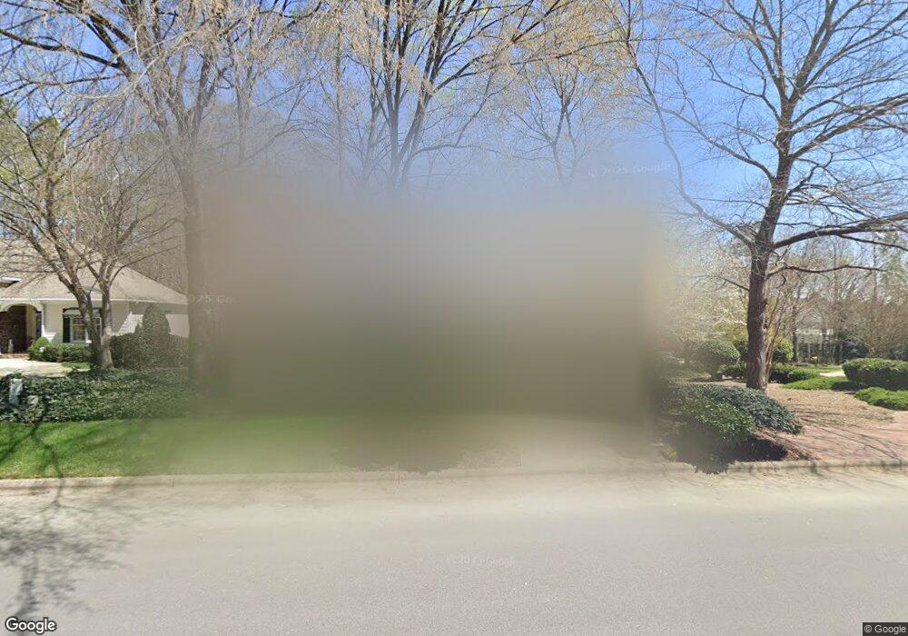
7616 The Pointe Raleigh, NC 27615
Greystone NeighborhoodEstimated Value: $582,000 - $742,000
Studio
2
Baths
2,405
Sq Ft
$267/Sq Ft
Est. Value
About This Home
This home is located at 7616 The Pointe, Raleigh, NC 27615 and is currently estimated at $643,127, approximately $267 per square foot. 7616 The Pointe is a home located in Wake County with nearby schools including Lynn Road Elementary School, Carroll Middle, and Sanderson High School.
Ownership History
Date
Name
Owned For
Owner Type
Purchase Details
Closed on
Nov 6, 2025
Sold by
Pepe Steven R and Pepe Susan H
Bought by
Pepe Revocable Trust and Pepe
Current Estimated Value
Purchase Details
Closed on
Dec 1, 1999
Sold by
Williams Russell Building Company Inc
Bought by
Pepe Steven R and Pepe Susan H
Home Financials for this Owner
Home Financials are based on the most recent Mortgage that was taken out on this home.
Original Mortgage
$179,000
Interest Rate
7.99%
Purchase Details
Closed on
May 17, 1999
Sold by
Ammons Inc
Bought by
Williams Russell Building Company
Create a Home Valuation Report for This Property
The Home Valuation Report is an in-depth analysis detailing your home's value as well as a comparison with similar homes in the area
Home Values in the Area
Average Home Value in this Area
Purchase History
| Date | Buyer | Sale Price | Title Company |
|---|---|---|---|
| Pepe Revocable Trust | -- | None Listed On Document | |
| Pepe Steven R | $259,000 | -- | |
| Williams Russell Building Company | $55,000 | -- |
Source: Public Records
Mortgage History
| Date | Status | Borrower | Loan Amount |
|---|---|---|---|
| Previous Owner | Pepe Steven R | $179,000 |
Source: Public Records
Tax History
| Year | Tax Paid | Tax Assessment Tax Assessment Total Assessment is a certain percentage of the fair market value that is determined by local assessors to be the total taxable value of land and additions on the property. | Land | Improvement |
|---|---|---|---|---|
| 2025 | -- | $544,544 | $120,000 | $424,544 |
| 2024 | $4,749 | $544,544 | $120,000 | $424,544 |
| 2023 | $4,480 | $409,207 | $105,000 | $304,207 |
| 2022 | $4,163 | $409,207 | $105,000 | $304,207 |
| 2021 | $3,767 | $385,122 | $105,000 | $280,122 |
| 2020 | $3,699 | $385,122 | $105,000 | $280,122 |
| 2019 | $3,896 | $334,460 | $105,000 | $229,460 |
| 2018 | $3,674 | $334,460 | $105,000 | $229,460 |
| 2017 | $3,499 | $334,460 | $105,000 | $229,460 |
| 2016 | $3,427 | $334,460 | $105,000 | $229,460 |
| 2015 | $3,824 | $367,332 | $124,000 | $243,332 |
| 2014 | $3,626 | $367,332 | $124,000 | $243,332 |
Source: Public Records
Map
Nearby Homes
- 7820 Harbor Dr
- 901 Bridge Way
- 1032 Vestavia Woods Dr
- 7530 Lead Mine Rd Unit 202
- 2220 Middlefield Ct
- 2103 Oakcrest Ct
- 7600 Mine Valley Rd
- 1208 Ebb Ct
- 6925 Valley Lake Dr
- 6801 Lynnoak Dr
- 2349 Kendricks Ct
- 8113 Greywinds Dr
- 7925 Brown Bark Place
- 8031 Grey Oak Dr
- 7802 Falcon Rest Cir Unit 7802
- 2400 Condor Ct Unit 2400
- 2000 Carrbridge Way
- 8136 Greywinds Dr
- 6801 Oak Ridge Dr
- 1917 Hamrick Dr
- 7620 The Pointe
- 7701 Kelmscot Way
- 7612 The Pointe
- 7705 Kelmscot Way
- 0 The Pointe
- 7625 Kelmscot Way
- 7602 Wellesley Park N
- 7604 Wellesley Park N
- 7612 Wellesley Park N
- 7614 Wellesley Park N
- 7600 Wellesley Park N
- 7616 Wellesley Park N
- 7608 The Pointe
- 7606 Wellesley Park N
- 7610 Wellesley Park N
- 7709 Kelmscot Way
- 1225 Coldstream Ct
- 1229 Coldstream Ct
- 1221 Coldstream Ct
- 7700 Kelmscot Way
Your Personal Tour Guide
Ask me questions while you tour the home.