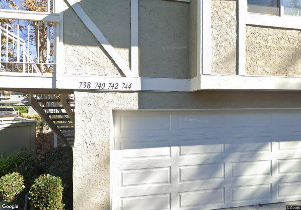
762 Iverson Point Way Oceanside, CA 92058
North Valley NeighborhoodEstimated Value: $538,000 - $553,000
3
Beds
2
Baths
1,174
Sq Ft
$465/Sq Ft
Est. Value
About This Home
This home is located at 762 Iverson Point Way, Oceanside, CA 92058 and is currently estimated at $546,310, approximately $465 per square foot. 762 Iverson Point Way is a home located in San Diego County with nearby schools including Louise Foussat Elementary School, Martin Luther King Jr. Middle School, and El Camino High School.
Ownership History
Date
Name
Owned For
Owner Type
Purchase Details
Closed on
Feb 23, 2007
Sold by
Romo Miguel R
Bought by
Romo Elvia F
Current Estimated Value
Home Financials for this Owner
Home Financials are based on the most recent Mortgage that was taken out on this home.
Original Mortgage
$53,250
Interest Rate
5.99%
Mortgage Type
Stand Alone Second
Purchase Details
Closed on
Dec 12, 1991
Purchase Details
Closed on
Nov 30, 1988
Create a Home Valuation Report for This Property
The Home Valuation Report is an in-depth analysis detailing your home's value as well as a comparison with similar homes in the area
Home Values in the Area
Average Home Value in this Area
Purchase History
| Date | Buyer | Sale Price | Title Company |
|---|---|---|---|
| Romo Elvia F | -- | New Century Title Company | |
| -- | $115,000 | -- | |
| -- | $89,500 | -- |
Source: Public Records
Mortgage History
| Date | Status | Borrower | Loan Amount |
|---|---|---|---|
| Closed | Romo Elvia F | $53,250 |
Source: Public Records
Tax History Compared to Growth
Tax History
| Year | Tax Paid | Tax Assessment Tax Assessment Total Assessment is a certain percentage of the fair market value that is determined by local assessors to be the total taxable value of land and additions on the property. | Land | Improvement |
|---|---|---|---|---|
| 2025 | $2,195 | $203,325 | $54,543 | $148,782 |
| 2024 | $2,195 | $199,339 | $53,474 | $145,865 |
| 2023 | $2,126 | $195,431 | $52,426 | $143,005 |
| 2022 | $2,093 | $191,600 | $51,399 | $140,201 |
| 2021 | $2,100 | $187,844 | $50,392 | $137,452 |
| 2020 | $2,035 | $185,919 | $49,876 | $136,043 |
| 2019 | $1,975 | $182,275 | $48,899 | $133,376 |
| 2018 | $1,953 | $178,702 | $47,941 | $130,761 |
| 2017 | $1,916 | $175,199 | $47,001 | $128,198 |
| 2016 | $1,852 | $171,765 | $46,080 | $125,685 |
| 2015 | $1,798 | $169,186 | $45,388 | $123,798 |
| 2014 | $1,728 | $165,872 | $44,499 | $121,373 |
Source: Public Records
Map
Nearby Homes
- 803 Shelter Cove Way
- 332 Del Flora St
- 854 Dana Point Way
- 853 Dana Point Way
- 4499 Brisbane Way Unit 5
- 183 Plumosa St
- 4475 Saint Andrews Place
- 4499 Pebble Beach Dr
- 233 Festival Dr
- 175 Avenida Descanso Unit 205
- 4569 Calle Del Palo
- 4560 Calle Del Palo
- 3501 Redwood St
- 4616 N River Rd Unit 89
- 4556 Mariners Bay
- 231 Riverview Way
- 276 N El Camino Real Unit 22
- 276 N El Camino Real Unit 26
- 276 N El Camino Real Unit 104
- 276 N El Camino Real Unit 172
- 766 Iverson Point Way
- 771 Iverson Point Way
- 726 Paradise Cove Way
- 742 Pyramid Point Way
- 747 Pyramid Point Way
- 749 Pyramid Point Way Unit 190
- 768 Iverson Point Way
- 773 Iverson Point Way
- 732 Paradise Cove Way
- 734 Paradise Cove Way
- 722 Paradise Cove Way Unit 208
- 731 Paradise Cove Way
- 733 Paradise Cove Way
- 735 Paradise Cove Way Unit 197
- 727 Paradise Cove Way
- 745 Pyramid Point Way
- 744 Pyramid Point Way
- 740 Pyramid Point Way
- 725 Paradise Cove Way
- 723 Paradise Cove Way
