762 Kinter Rd Bronson, MI 49028
Estimated Value: $206,000 - $361,000
Studio
--
Bath
--
Sq Ft
43,560
Sq Ft
About This Home
This home is located at 762 Kinter Rd, Bronson, MI 49028 and is currently estimated at $261,326. 762 Kinter Rd is a home located in Branch County with nearby schools including Anderson Elementary School, Ryan Elementary School, and Bronson Junior/Senior High School.
Ownership History
Date
Name
Owned For
Owner Type
Purchase Details
Closed on
Mar 7, 2007
Sold by
Pitts Robert K and Pitts Sandra A
Bought by
Pitts Robert K and Pitts Sandra A
Current Estimated Value
Home Financials for this Owner
Home Financials are based on the most recent Mortgage that was taken out on this home.
Original Mortgage
$57,000
Interest Rate
6.17%
Mortgage Type
Stand Alone Second
Purchase Details
Closed on
Mar 2, 2007
Sold by
Pitts Robert K and Pitts Sandra A
Bought by
Pitts Robert K and Pitts Sandra A
Home Financials for this Owner
Home Financials are based on the most recent Mortgage that was taken out on this home.
Original Mortgage
$57,000
Interest Rate
6.17%
Mortgage Type
Stand Alone Second
Purchase Details
Closed on
Sep 11, 2000
Sold by
Pitts Robert K and Pitts Sandra A
Bought by
Pitts Family Living Trust
Create a Home Valuation Report for This Property
The Home Valuation Report is an in-depth analysis detailing your home's value as well as a comparison with similar homes in the area
Purchase History
| Date | Buyer | Sale Price | Title Company |
|---|---|---|---|
| Pitts Robert K | -- | None Available | |
| Pitts Robert K | -- | None Available | |
| Pitts Family Living Trust | -- | -- |
Source: Public Records
Mortgage History
| Date | Status | Borrower | Loan Amount |
|---|---|---|---|
| Closed | Pitts Robert K | $57,000 | |
| Open | Pitts Robert K | $128,000 |
Source: Public Records
Tax History
| Year | Tax Paid | Tax Assessment Tax Assessment Total Assessment is a certain percentage of the fair market value that is determined by local assessors to be the total taxable value of land and additions on the property. | Land | Improvement |
|---|---|---|---|---|
| 2025 | $1,684 | $99,000 | $0 | $0 |
| 2024 | $6 | $101,100 | $0 | $0 |
| 2023 | $608 | $97,800 | $0 | $0 |
| 2022 | $608 | $98,600 | $0 | $0 |
| 2021 | $726 | $95,200 | $0 | $0 |
| 2020 | -- | $79,300 | $0 | $0 |
| 2019 | -- | $66,100 | $0 | $0 |
| 2018 | -- | $61,500 | $0 | $0 |
| 2017 | -- | $66,300 | $0 | $0 |
| 2016 | -- | $68,829 | $0 | $0 |
| 2015 | -- | $49,800 | $0 | $0 |
| 2014 | -- | $49,026 | $0 | $0 |
| 2013 | -- | $49,024 | $0 | $0 |
Source: Public Records
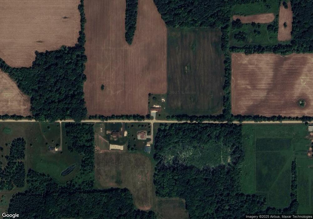
Map
Nearby Homes
- 0 N Werners Landing Dr
- 786 W Colon Rd
- 824 Langwell Rd
- 130 Osborn Rd
- 325 N Lincoln St
- 234 N Lincoln St
- 225 N Lincoln St
- 688 W Chicago Rd
- 150 Washington St
- 410 Franklin St
- 505 W Chicago St
- 317 S Parham Rd
- 644 S Matteson St
- 141 S Snow Prairie Rd
- 322 W Chicago Rd
- 448 N Batavia Rd
- 282 W Colon Rd
- 59178 Nora Dr
- 769 Kosmerick Rd
- 0 Dunks Rd
- 765 Kinter Rd
- 779 Kinter Rd
- 791 Kinter Rd
- 299 N Matteson Lake Rd
- 291 N Matteson Lake Rd
- 285 N Matteson Lake Rd
- 327 N Matteson Lake Rd
- 277 N Matteson Lake Rd
- 273 N Matteson Lake Rd
- 761 Oak Rd
- 767 Oak Rd
- 275 N Matteson Lake Rd
- 773 Oak Rd
- 280 N Matteson Lake Rd
- 276 N Matteson Lake Rd
- 269 N Matteson Lake Rd
- 263 N Matteson Lake Rd
- 334 N Matteson Lake Rd
- 787 Oak Rd
- 811 Kinter Rd
Your Personal Tour Guide
Ask me questions while you tour the home.