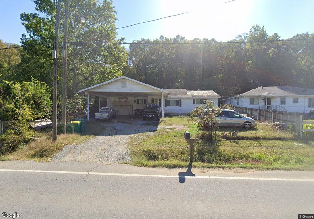
7621 Arch St Little Rock, AR 72206
Landmark NeighborhoodEstimated Value: $90,000 - $128,083
--
Bed
1
Bath
1,104
Sq Ft
$101/Sq Ft
Est. Value
About This Home
This home is located at 7621 Arch St, Little Rock, AR 72206 and is currently estimated at $111,771, approximately $101 per square foot. 7621 Arch St is a home located in Pulaski County with nearby schools including Bates Elementary School, Mills University Studies High School, and Exalt Academy of Southwest Little Rock.
Ownership History
Date
Name
Owned For
Owner Type
Purchase Details
Closed on
Nov 9, 2016
Sold by
Rowe Thomas H
Bought by
Hernandez Michael Andrew
Current Estimated Value
Home Financials for this Owner
Home Financials are based on the most recent Mortgage that was taken out on this home.
Original Mortgage
$27,000
Outstanding Balance
$21,676
Interest Rate
3.42%
Mortgage Type
Seller Take Back
Estimated Equity
$90,095
Purchase Details
Closed on
Mar 19, 2002
Sold by
Allison Thurl R
Bought by
Rowe Thomas H
Create a Home Valuation Report for This Property
The Home Valuation Report is an in-depth analysis detailing your home's value as well as a comparison with similar homes in the area
Home Values in the Area
Average Home Value in this Area
Purchase History
| Date | Buyer | Sale Price | Title Company |
|---|---|---|---|
| Hernandez Michael Andrew | $57,000 | First National Title Company | |
| Rowe Thomas H | -- | -- |
Source: Public Records
Mortgage History
| Date | Status | Borrower | Loan Amount |
|---|---|---|---|
| Open | Hernandez Michael Andrew | $27,000 |
Source: Public Records
Tax History Compared to Growth
Tax History
| Year | Tax Paid | Tax Assessment Tax Assessment Total Assessment is a certain percentage of the fair market value that is determined by local assessors to be the total taxable value of land and additions on the property. | Land | Improvement |
|---|---|---|---|---|
| 2025 | $1,051 | $23,216 | $260 | $22,956 |
| 2024 | $900 | $23,216 | $260 | $22,956 |
| 2023 | $900 | $23,216 | $260 | $22,956 |
| 2022 | $825 | $23,216 | $260 | $22,956 |
| 2021 | $750 | $14,760 | $200 | $14,560 |
| 2020 | $750 | $14,760 | $200 | $14,560 |
| 2019 | $750 | $14,760 | $200 | $14,560 |
| 2018 | $750 | $14,760 | $200 | $14,560 |
| 2017 | $750 | $14,760 | $200 | $14,560 |
| 2016 | $198 | $13,360 | $210 | $13,150 |
| 2015 | $526 | $10,353 | $210 | $10,143 |
| 2014 | $526 | $9,493 | $210 | $9,283 |
Source: Public Records
Map
Nearby Homes
- 0 Baseline Rd Unit 25029813
- 3407 Avery Rd
- 10 Callan Ln
- 20 Calion Dr
- 3300 Green Dr
- 3508 Green Dr
- 11 Eaton Dr
- 19 Harrow Dr
- 4623 Stratton Ave
- 29 Rugby Dr
- 6609 W Wakefield Dr
- 8301 Stanton Rd
- 000 Mail Route Cir
- TBD Hwy 365 S Dr
- 7 Linkay Ct
- 13 Daven Ct
- 4919 Baseline Rd
- 22 Daven Ct
- 31 Allyson Cir
- 8511 Dreher Ln