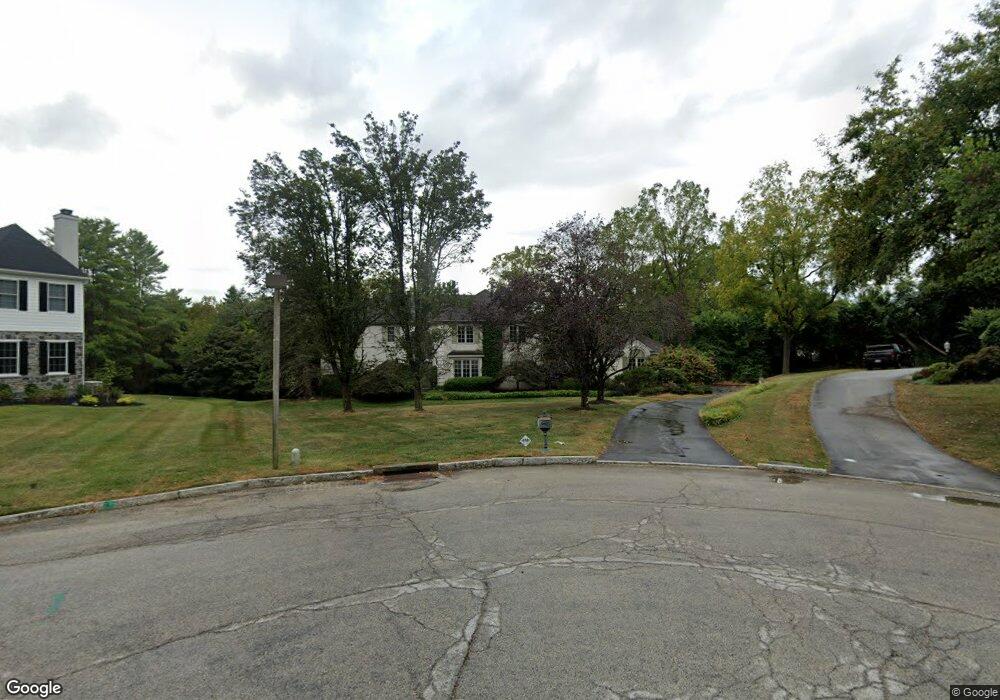
763 Applegate Ln Bryn Mawr, PA 19010
Estimated Value: $1,278,000 - $1,783,000
4
Beds
3
Baths
4,805
Sq Ft
$313/Sq Ft
Est. Value
About This Home
This home is located at 763 Applegate Ln, Bryn Mawr, PA 19010 and is currently estimated at $1,506,025, approximately $313 per square foot. 763 Applegate Ln is a home located in Delaware County with nearby schools including Radnor El School, Radnor Middle School, and Radnor Senior High School.
Ownership History
Date
Name
Owned For
Owner Type
Purchase Details
Closed on
Mar 7, 2002
Sold by
Ducheyne Paul and Ducheyne Deruytter Annemie
Bought by
Ducheyne Paul
Current Estimated Value
Home Financials for this Owner
Home Financials are based on the most recent Mortgage that was taken out on this home.
Original Mortgage
$300,700
Interest Rate
6.31%
Mortgage Type
Purchase Money Mortgage
Create a Home Valuation Report for This Property
The Home Valuation Report is an in-depth analysis detailing your home's value as well as a comparison with similar homes in the area
Home Values in the Area
Average Home Value in this Area
Purchase History
| Date | Buyer | Sale Price | Title Company |
|---|---|---|---|
| Ducheyne Paul | -- | -- |
Source: Public Records
Mortgage History
| Date | Status | Borrower | Loan Amount |
|---|---|---|---|
| Closed | Ducheyne Paul | $300,700 |
Source: Public Records
Tax History Compared to Growth
Tax History
| Year | Tax Paid | Tax Assessment Tax Assessment Total Assessment is a certain percentage of the fair market value that is determined by local assessors to be the total taxable value of land and additions on the property. | Land | Improvement |
|---|---|---|---|---|
| 2025 | $17,069 | $844,250 | $328,190 | $516,060 |
| 2024 | $17,069 | $844,250 | $328,190 | $516,060 |
| 2023 | $16,393 | $844,250 | $328,190 | $516,060 |
| 2022 | $16,214 | $844,250 | $328,190 | $516,060 |
| 2021 | $26,044 | $844,250 | $328,190 | $516,060 |
| 2020 | $21,513 | $618,410 | $277,490 | $340,920 |
| 2019 | $20,906 | $618,410 | $277,490 | $340,920 |
| 2018 | $20,496 | $618,410 | $0 | $0 |
| 2017 | $20,067 | $618,410 | $0 | $0 |
| 2016 | $3,394 | $618,410 | $0 | $0 |
| 2015 | $3,463 | $618,410 | $0 | $0 |
| 2014 | $3,394 | $618,410 | $0 | $0 |
Source: Public Records
Map
Nearby Homes
- 215 Cornell Dr
- 560 S Bryn Mawr Ave
- 406 Barclay Rd
- 390 S Bryn Mawr Ave
- 307 B B000 Summit Dr Unit B
- 202 Summit Dr Unit B
- 103 Summit Dr Unit B
- 12 Chalous Ln
- 4 Lockwood Ln
- 7 Lockwood Ln
- 189 Meredith Ave
- 100 Radnor Ave
- 3 Lockwood Ln
- 200 S Ithan Ave
- 15 Lockwood Ln
- 219 S Ithan Ave
- 67 Parkridge Dr
- 62 Parkridge Dr Unit 62
- 14 Westview Rd
- 53 Parkridge Dr
- 766 Applegate Ln
- 759 Applegate Ln
- 614 Portledge Dr
- 720 Haviland Dr
- 764 Applegate Ln
- 612 Portledge Dr
- 616 Portledge Dr
- 718 Haviland Dr
- 765 AKA (761) Applegate Ln
- 757 Applegate Ln
- 765 Applegate Ln
- 2 Allens Ln
- 618 Portledge Dr
- 761 Applegate Ln
- 6 Allens Ln
- 610 Portledge Dr
- 716 Haviland Dr
- 753 Applegate Ln
- 615 Portledge Dr
- 717 Haviland Dr