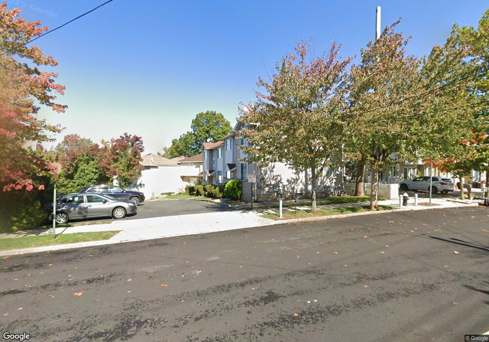
763 Barlow Ave Staten Island, NY 10312
Eltingville NeighborhoodEstimated Value: $580,917 - $804,000
4
Beds
2
Baths
1,680
Sq Ft
$428/Sq Ft
Est. Value
About This Home
This home is located at 763 Barlow Ave, Staten Island, NY 10312 and is currently estimated at $718,229, approximately $427 per square foot. 763 Barlow Ave is a home located in Richmond County with nearby schools including P.S. 42 The Eltingville School, I.S. 007 Elias Bernstein, and Tottenville High School.
Ownership History
Date
Name
Owned For
Owner Type
Purchase Details
Closed on
May 19, 2014
Sold by
Romano Frank and Romano Rosemarie
Bought by
Rnp Group Llc
Current Estimated Value
Purchase Details
Closed on
Apr 10, 1997
Sold by
Torrente Anthony J and Torrente Mary E
Bought by
Romano Frank and Romano Rosemarie
Home Financials for this Owner
Home Financials are based on the most recent Mortgage that was taken out on this home.
Original Mortgage
$136,000
Interest Rate
7.85%
Create a Home Valuation Report for This Property
The Home Valuation Report is an in-depth analysis detailing your home's value as well as a comparison with similar homes in the area
Home Values in the Area
Average Home Value in this Area
Purchase History
| Date | Buyer | Sale Price | Title Company |
|---|---|---|---|
| Rnp Group Llc | -- | Fidelity National Title Insu | |
| Romano Frank | $170,000 | Commonwealth Land Title Ins |
Source: Public Records
Mortgage History
| Date | Status | Borrower | Loan Amount |
|---|---|---|---|
| Previous Owner | Romano Frank | $136,000 |
Source: Public Records
Tax History Compared to Growth
Tax History
| Year | Tax Paid | Tax Assessment Tax Assessment Total Assessment is a certain percentage of the fair market value that is determined by local assessors to be the total taxable value of land and additions on the property. | Land | Improvement |
|---|---|---|---|---|
| 2025 | $6,768 | $36,120 | $4,738 | $31,382 |
| 2024 | $6,768 | $34,380 | $4,940 | $29,440 |
| 2023 | $6,457 | $31,792 | $3,945 | $27,847 |
| 2022 | $5,988 | $40,980 | $5,040 | $35,940 |
| 2021 | $5,955 | $34,200 | $5,040 | $29,160 |
| 2020 | $5,989 | $34,680 | $5,040 | $29,640 |
| 2019 | $5,874 | $30,720 | $5,040 | $25,680 |
| 2018 | $5,401 | $26,493 | $4,215 | $22,278 |
| 2017 | $5,095 | $24,994 | $4,467 | $20,527 |
| 2016 | $4,404 | $23,580 | $5,040 | $18,540 |
| 2015 | $4,284 | $24,900 | $4,200 | $20,700 |
| 2014 | $4,284 | $23,913 | $4,033 | $19,880 |
Source: Public Records
Map
Nearby Homes
- 775 Barlow Ave
- 731 Barlow Ave
- 774 Barlow Ave
- 682 Barlow Ave
- 71 Reading Ave
- 149 Crossfield Ave
- 226 Annadale Rd
- 56 Mcarthur Ave
- 50 Reading Ave
- 77 Wainwright Ave
- 621 Barlow Ave
- 3 Gold Ave
- 622 Barlow Ave
- 688 Leverett Ave Unit 8520
- 43 Watkins Ave
- 102 Lovelace Ave
- 110 Lovelace Ave
- 104 Berry Ave
- 135 Mcarthur Ave
- 350 Bartlett Ave
- 753 Barlow Ave
- 765 Barlow Ave
- 761 Barlow Ave
- 751 Barlow Ave
- 749 Barlow Ave
- 182 Drumgoole Rd E
- 747 Barlow Ave
- 180 Drumgoole Rd E
- 745 Barlow Ave
- 186 Drumgoole Rd E
- 743 Barlow Ave
- 130 Macon Ave
- 741 Barlow Ave
- 188 Drumgoole Rd E
- 739 Barlow Ave
- 737 Barlow Ave
- 756 Barlow Ave
- 758 Barlow Ave
- 760 Barlow Ave
- 762 Barlow Ave