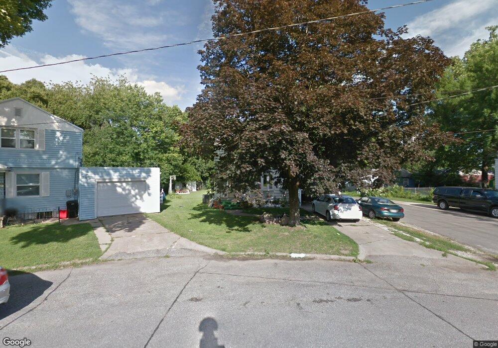
763 Riverside Ln Ottumwa, IA 52501
Estimated Value: $83,000 - $112,000
3
Beds
2
Baths
1,128
Sq Ft
$87/Sq Ft
Est. Value
About This Home
This home is located at 763 Riverside Ln, Ottumwa, IA 52501 and is currently estimated at $98,382, approximately $87 per square foot. 763 Riverside Ln is a home located in Wapello County with nearby schools including Liberty Elementary School, Douma Elementary School, and Evans Middle School.
Ownership History
Date
Name
Owned For
Owner Type
Purchase Details
Closed on
Mar 23, 2006
Sold by
Dennis Daniel Byron and Knowles Janet J
Bought by
Patlan Francisco and Patlan Isabel
Current Estimated Value
Home Financials for this Owner
Home Financials are based on the most recent Mortgage that was taken out on this home.
Original Mortgage
$63,995
Outstanding Balance
$36,508
Interest Rate
6.33%
Estimated Equity
$61,874
Create a Home Valuation Report for This Property
The Home Valuation Report is an in-depth analysis detailing your home's value as well as a comparison with similar homes in the area
Home Values in the Area
Average Home Value in this Area
Purchase History
| Date | Buyer | Sale Price | Title Company |
|---|---|---|---|
| Patlan Francisco | $65,000 | None Available |
Source: Public Records
Mortgage History
| Date | Status | Borrower | Loan Amount |
|---|---|---|---|
| Open | Patlan Francisco | $63,995 |
Source: Public Records
Tax History Compared to Growth
Tax History
| Year | Tax Paid | Tax Assessment Tax Assessment Total Assessment is a certain percentage of the fair market value that is determined by local assessors to be the total taxable value of land and additions on the property. | Land | Improvement |
|---|---|---|---|---|
| 2025 | $1,506 | $83,640 | $6,730 | $76,910 |
| 2024 | $1,506 | $79,650 | $6,730 | $72,920 |
| 2023 | $1,318 | $79,650 | $6,730 | $72,920 |
| 2022 | $1,340 | $64,040 | $6,730 | $57,310 |
| 2021 | $1,553 | $61,180 | $6,730 | $54,450 |
| 2020 | $1,312 | $59,850 | $6,730 | $53,120 |
| 2019 | $1,348 | $59,850 | $0 | $0 |
| 2018 | $1,302 | $59,850 | $0 | $0 |
| 2017 | $1,302 | $59,850 | $0 | $0 |
| 2016 | $1,500 | $68,732 | $0 | $0 |
| 2015 | $1,502 | $68,732 | $0 | $0 |
| 2014 | $1,502 | $68,732 | $0 | $0 |
Source: Public Records
Map
Nearby Homes
- 1322 Mowrey Ave
- 1409 Swanson Ave
- 1507 Mowrey Ave
- 448 Mckinley Ave
- 1441 Casa Blanca Ln
- 1005 Hamilton St
- 1021 Overman Ave
- 1529 Swanson Ave
- 1522 Greenwood Dr
- 1903 Mowrey Ave
- 1401 W Finley Ave
- 1508 Hamilton St
- 439 Wildwood Dr
- 1502 W Finley Ave
- 117 Lynwood Ave
- 433 W Finley Ave
- 319 Hamilton St
- 138 Minnesota St
- 1820 Gladstone St
- 120 Shaul Ave
- 759 Riverside Ln
- 749 Pocahontas Ln
- 740 Riverside Ln
- 750 Riverside Ln
- 745 Pocahontas Ln
- 736 Riverside Ln
- 751 Riverside Ln
- 741 Pocahontas Ln
- 732 Riverside Ln
- 747 Riverside Ln
- 743 Riverside Ln
- 742 Pocahontas Ln
- 739 Riverside Ln
- 735 Riverside Ln
- 731 Riverside Ln
- 737 Pocahontas Ln
- 728 Riverside Ln
- 727 Riverside Ln
- 738 Pocahontas Ln
- 733 Pocahontas Ln