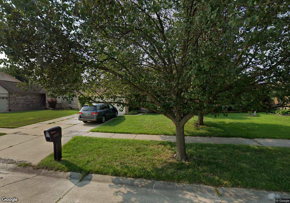
763 Stonehenge Dr Canton, MI 48188
Estimated Value: $332,159 - $385,000
Studio
2
Baths
1,683
Sq Ft
$215/Sq Ft
Est. Value
About This Home
This home is located at 763 Stonehenge Dr, Canton, MI 48188 and is currently estimated at $362,540, approximately $215 per square foot. 763 Stonehenge Dr is a home located in Wayne County with nearby schools including Canton High School, Salem High School, and Plymouth High School.
Ownership History
Date
Name
Owned For
Owner Type
Purchase Details
Closed on
Nov 4, 2007
Sold by
Atkins Jerry Fraizer
Bought by
Lancaster Lisa Marie
Current Estimated Value
Home Financials for this Owner
Home Financials are based on the most recent Mortgage that was taken out on this home.
Original Mortgage
$202,492
Outstanding Balance
$126,957
Interest Rate
6.47%
Mortgage Type
FHA
Estimated Equity
$235,583
Purchase Details
Closed on
Jan 7, 2000
Sold by
Atkins Theresa E
Bought by
Atkins Jerry F
Purchase Details
Closed on
Jul 23, 1999
Sold by
Asj Moinuddin and Asj Zarina J
Bought by
Lancaster Jerry F Atkins Lisa
Purchase Details
Closed on
Nov 30, 1995
Sold by
Ennis Jeffery and Ennis Loretta
Bought by
Ennis Jeffery and Ennis Loretta
Create a Home Valuation Report for This Property
The Home Valuation Report is an in-depth analysis detailing your home's value as well as a comparison with similar homes in the area
Home Values in the Area
Average Home Value in this Area
Purchase History
| Date | Buyer | Sale Price | Title Company |
|---|---|---|---|
| Lancaster Lisa Marie | -- | Title Source Inc | |
| Atkins Jerry F | -- | -- | |
| Lancaster Jerry F Atkins Lisa | $186,500 | -- | |
| Ennis Jeffery | $151,000 | -- |
Source: Public Records
Mortgage History
| Date | Status | Borrower | Loan Amount |
|---|---|---|---|
| Open | Lancaster Lisa Marie | $202,492 |
Source: Public Records
Tax History
| Year | Tax Paid | Tax Assessment Tax Assessment Total Assessment is a certain percentage of the fair market value that is determined by local assessors to be the total taxable value of land and additions on the property. | Land | Improvement |
|---|---|---|---|---|
| 2025 | $1,822 | $172,100 | $0 | $0 |
| 2024 | $1,771 | $150,000 | $0 | $0 |
| 2023 | $1,688 | $143,300 | $0 | $0 |
| 2022 | $3,729 | $123,900 | $0 | $0 |
| 2021 | $3,618 | $120,000 | $0 | $0 |
| 2020 | $3,572 | $113,200 | $0 | $0 |
| 2019 | $3,509 | $110,680 | $0 | $0 |
| 2018 | $1,435 | $104,630 | $0 | $0 |
| 2017 | $3,605 | $102,400 | $0 | $0 |
| 2016 | $3,193 | $103,400 | $0 | $0 |
| 2015 | $7,883 | $89,730 | $0 | $0 |
| 2013 | $7,643 | $79,740 | $0 | $0 |
| 2010 | -- | $82,550 | $36,000 | $46,550 |
Source: Public Records
Map
Nearby Homes
- 41512 Pheasant Creek Dr
- 41587 Pheasant Creek Dr
- 41226 Southwind Dr Unit 138
- 41777 Princess Dr
- 42264 Chase Dr
- 41060 Northwind Dr
- 1381 Hampshire Dr
- 1402 Heritage Dr
- 1878 Otter Pond Ln
- 1530 Fairfax Dr
- 42714 Lilley Pointe Dr Unit 213
- 42739 Lilley Pointe Dr Unit 119
- 42216 Metaline Dr
- 352 Cherry Hill Pointe Dr Unit 33
- 0 Cherry Hill Unit 16924
- 1803 Pinecroft Dr Unit 171
- 2006 S Lilley Rd
- 41260 Maplewood Dr Unit 5
- 42745 Redfern St
- 2393 Arcadia Dr
- 755 Stonehenge Dr
- 771 Stonehenge Dr
- 749 Stonehenge Dr
- 41532 SiMcOe Dr
- 41522 SiMcOe Dr
- 41546 SiMcOe Dr
- 41512 SiMcOe Dr
- 758 Stonehenge Dr
- 770 Stonehenge Dr
- 741 Stonehenge Dr Unit Bldg-Unit
- 741 Stonehenge Dr
- 752 Stonehenge Dr
- 41500 SiMcOe Dr
- 730 Sutten Dr
- 746 Stonehenge Dr
- 740 Sutten Dr
- 720 Sutten Dr
- 733 Stonehenge Dr
- 750 Sutten Dr
- 41486 SiMcOe Dr
Your Personal Tour Guide
Ask me questions while you tour the home.