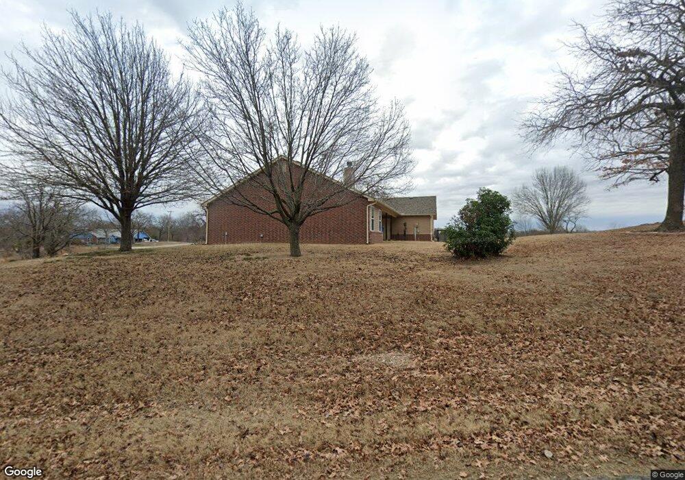
7632 W 131st St S Sapulpa, OK 74066
Estimated Value: $348,000 - $407,000
3
Beds
2
Baths
2,007
Sq Ft
$189/Sq Ft
Est. Value
About This Home
This home is located at 7632 W 131st St S, Sapulpa, OK 74066 and is currently estimated at $380,124, approximately $189 per square foot. 7632 W 131st St S is a home located in Creek County with nearby schools including Kiefer Elementary School, Rongey Middle School, and Kiefer High School.
Ownership History
Date
Name
Owned For
Owner Type
Purchase Details
Closed on
Sep 15, 2020
Sold by
Speer Robert R and Speer Patricia A
Bought by
Robert And Patricia Speer Trust
Current Estimated Value
Purchase Details
Closed on
Aug 15, 2006
Sold by
Jackson Dennis W and Jackson Susan M
Bought by
Speer Patricia A and Speer Robert R
Purchase Details
Closed on
Apr 16, 2003
Sold by
Ramey Lense E
Purchase Details
Closed on
Nov 27, 2002
Sold by
Country Investments
Purchase Details
Closed on
Dec 11, 2001
Sold by
Carr Peggy and Carr Paul
Create a Home Valuation Report for This Property
The Home Valuation Report is an in-depth analysis detailing your home's value as well as a comparison with similar homes in the area
Home Values in the Area
Average Home Value in this Area
Purchase History
| Date | Buyer | Sale Price | Title Company |
|---|---|---|---|
| Robert And Patricia Speer Trust | -- | None Available | |
| Speer Patricia A | $193,000 | None Available | |
| -- | $155,000 | -- | |
| -- | $20,000 | -- | |
| -- | $10,500 | -- |
Source: Public Records
Tax History Compared to Growth
Tax History
| Year | Tax Paid | Tax Assessment Tax Assessment Total Assessment is a certain percentage of the fair market value that is determined by local assessors to be the total taxable value of land and additions on the property. | Land | Improvement |
|---|---|---|---|---|
| 2025 | $2,851 | $28,869 | $739 | $28,130 |
| 2024 | $2,810 | $28,029 | $739 | $27,290 |
| 2023 | $2,810 | $27,212 | $739 | $26,473 |
| 2022 | $2,549 | $26,420 | $739 | $25,681 |
| 2021 | $2,586 | $25,650 | $739 | $24,911 |
| 2020 | $2,341 | $24,903 | $739 | $24,164 |
| 2019 | $2,226 | $24,178 | $739 | $23,439 |
| 2018 | $2,152 | $23,474 | $739 | $22,735 |
| 2017 | $2,092 | $23,474 | $739 | $22,735 |
| 2016 | $2,100 | $23,474 | $739 | $22,735 |
| 2015 | -- | $23,474 | $739 | $22,735 |
| 2014 | -- | $23,160 | $2,322 | $20,838 |
Source: Public Records
Map
Nearby Homes
- 6355 Rockwood Cir N
- 1014 Ridge Rd
- 1805 Glendale Rd
- 0 E Taft St
- 13435 S Garrett St
- 819 Ridge Rd
- 2810 E Hwy 117
- 1440 Mabelle Dr
- 13623 S 97th Ave W
- 1241 Circle Dr
- 1109 S Division St
- 813 E Teresa Ave
- 0 Division St Unit 2535888
- 8801 S Ridgeview Dr
- 1348 E Mckinley Ave
- 211 E Wells Blvd
- 527 Pioneer Rd
- 103 E Fairlane Ct
- 8 Ryan Place
- 341 N Main St
- 7612 W 131st St S
- 7628 W 131st St S
- 13108 Dugans Rd
- 13146 Dugans Rd
- 7612 W 131st West Ave
- 7618 W 131st St S
- 7525 W 131st St S
- 7613 W 131st West Ave
- 7811 W 131st St S
- 13251 Dugans Rd
- 7520 W 131st St S
- 7405 W 131st St S
- 7621 W 131st St S
- 8072 W 133rd St S
- 13274 Dugans Rd
- 13303 Dugans Rd
- 8017 W 133rd St S
- 13333 Dugans Rd
- 7355 W 131st St S
- 13333 Dugan Rd