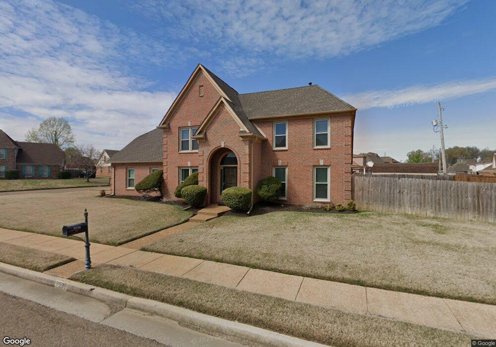
7632 Windsong Dr Memphis, TN 38125
Southern Shelby County NeighborhoodEstimated Value: $250,000 - $298,000
3
Beds
3
Baths
2,922
Sq Ft
$97/Sq Ft
Est. Value
About This Home
This home is located at 7632 Windsong Dr, Memphis, TN 38125 and is currently estimated at $282,347, approximately $96 per square foot. 7632 Windsong Dr is a home located in Shelby County with nearby schools including Lowrance Elementary School, Southwind High School, and Power Center Academy - Southeast.
Ownership History
Date
Name
Owned For
Owner Type
Purchase Details
Closed on
Oct 3, 1996
Sold by
Terry & Terry Inc
Bought by
Patterson Floyd E and Patterson Carolyn M
Current Estimated Value
Home Financials for this Owner
Home Financials are based on the most recent Mortgage that was taken out on this home.
Original Mortgage
$130,000
Outstanding Balance
$11,894
Interest Rate
8.05%
Estimated Equity
$270,453
Create a Home Valuation Report for This Property
The Home Valuation Report is an in-depth analysis detailing your home's value as well as a comparison with similar homes in the area
Home Values in the Area
Average Home Value in this Area
Purchase History
| Date | Buyer | Sale Price | Title Company |
|---|---|---|---|
| Patterson Floyd E | $164,900 | -- |
Source: Public Records
Mortgage History
| Date | Status | Borrower | Loan Amount |
|---|---|---|---|
| Open | Patterson Floyd E | $130,000 |
Source: Public Records
Tax History Compared to Growth
Tax History
| Year | Tax Paid | Tax Assessment Tax Assessment Total Assessment is a certain percentage of the fair market value that is determined by local assessors to be the total taxable value of land and additions on the property. | Land | Improvement |
|---|---|---|---|---|
| 2025 | $1,787 | $67,975 | $10,425 | $57,550 |
| 2024 | $1,787 | $52,700 | $10,425 | $42,275 |
| 2023 | $1,787 | $52,700 | $10,425 | $42,275 |
| 2022 | $1,787 | $52,700 | $10,425 | $42,275 |
| 2021 | $1,818 | $52,700 | $10,425 | $42,275 |
| 2020 | $1,700 | $41,975 | $10,425 | $31,550 |
| 2019 | $1,700 | $41,975 | $10,425 | $31,550 |
| 2018 | $1,700 | $41,975 | $10,425 | $31,550 |
| 2017 | $1,725 | $41,975 | $10,425 | $31,550 |
| 2016 | $1,677 | $38,375 | $0 | $0 |
| 2014 | $1,677 | $38,375 | $0 | $0 |
Source: Public Records
Map
Nearby Homes
- 4646 Sweet Whisper Ln
- 4471 Hughes Meadow Dr
- 4768 Gertrude Dr
- 7421 Richmond Rd
- 4764 Buttermilk Dr
- 4826 Callaway Hills Dr
- 4419 Berkley Woods Dr
- 4735 Harvest Knoll Cove N
- 7321 Stonington Dr
- 4294 Thunderstone Cir W
- 7527 Wilsford Cove
- 4820 Harvest Knoll Ln
- 7286 New Britain Dr
- 7875 Fallstone Rd
- 4569 Cardiff Cove
- 7893 Collins Wood Cove
- 4316 Barry Meadows Cove
- 4512 S Germantown Rd
- 4310 Coral Creek Ln
- 7522 Starfire Cove
- 4534 Kings Fox Cove
- 4547 Long Creek Rd
- 7631 Windsong Dr
- 4545 Kings Fox Cove
- 7625 Windsong Dr
- 4561 Long Creek Rd
- 4524 Kings Fox Cove
- 4539 Long Creek Rd
- 4535 Kings Fox Cove
- 7617 Windsong Dr
- 4525 Kings Fox Cove
- 4533 Long Creek Rd
- 4514 Kings Fox Cove
- 7608 Windsong Dr
- 7626 Fox Bridge Cove
- 4571 Long Creek Rd
- 7609 Windsong Dr
- 7618 Fox Bridge Cove
- 4525 Long Creek Rd
- 7610 Fox Bridge Cove