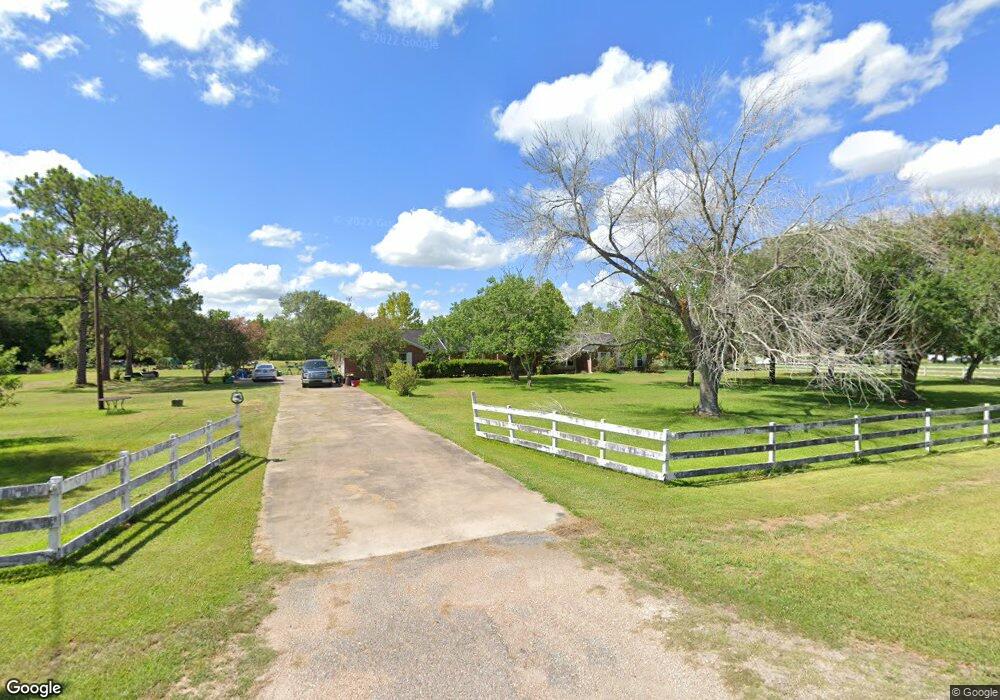
7634 Brookside Rd Unit 106 Pearland, TX 77581
Estimated Value: $669,000 - $946,000
--
Bed
2
Baths
3,126
Sq Ft
$247/Sq Ft
Est. Value
About This Home
This home is located at 7634 Brookside Rd Unit 106, Pearland, TX 77581 and is currently estimated at $773,259, approximately $247 per square foot. 7634 Brookside Rd Unit 106 is a home located in Brazoria County with nearby schools including E A Lawhon Elementary School, Leon H. Sablatura Middle School, and Pearland Junior High School West.
Ownership History
Date
Name
Owned For
Owner Type
Purchase Details
Closed on
Oct 29, 2003
Sold by
Miceli Peter A
Bought by
Urquhart Mitchell L and Urquhart Lee Ann
Current Estimated Value
Home Financials for this Owner
Home Financials are based on the most recent Mortgage that was taken out on this home.
Original Mortgage
$130,000
Interest Rate
6.01%
Mortgage Type
Seller Take Back
Create a Home Valuation Report for This Property
The Home Valuation Report is an in-depth analysis detailing your home's value as well as a comparison with similar homes in the area
Home Values in the Area
Average Home Value in this Area
Purchase History
| Date | Buyer | Sale Price | Title Company |
|---|---|---|---|
| Urquhart Mitchell L | -- | Stc |
Source: Public Records
Mortgage History
| Date | Status | Borrower | Loan Amount |
|---|---|---|---|
| Closed | Urquhart Mitchell L | $130,000 |
Source: Public Records
Tax History Compared to Growth
Tax History
| Year | Tax Paid | Tax Assessment Tax Assessment Total Assessment is a certain percentage of the fair market value that is determined by local assessors to be the total taxable value of land and additions on the property. | Land | Improvement |
|---|---|---|---|---|
| 2025 | $2,056 | $313,063 | $270,440 | $502,760 |
| 2023 | $2,056 | $258,730 | $270,440 | $498,620 |
| 2022 | $5,658 | $235,209 | $136,590 | $236,500 |
| 2021 | $5,509 | $341,230 | $136,590 | $204,640 |
| 2020 | $5,245 | $397,480 | $224,750 | $172,730 |
| 2019 | $4,769 | $226,070 | $139,590 | $86,480 |
| 2018 | $4,317 | $160,650 | $117,880 | $42,770 |
| 2017 | $7,004 | $259,390 | $115,950 | $143,440 |
| 2016 | $7,798 | $288,790 | $115,950 | $172,840 |
| 2015 | $6,532 | $268,310 | $115,950 | $152,360 |
| 2014 | $6,532 | $279,340 | $115,950 | $163,390 |
Source: Public Records
Map
Nearby Homes
- 7737 Brookside Rd
- 5127 Brookside Rd
- 00 Max Rd
- 8033 Mchard Rd Unit 106
- 1745 Stone Rd
- 12746 Roy Rd
- 8210 Mchard Rd Unit 106
- 8002 Seddon Rd
- 1634 Roy Rd
- 1706 Roy Rd
- 14939 Cullen Blvd
- 12421 Roy Rd Unit 105
- 1904 Stonegrove Ct
- 2008 Granite Pass Dr
- 2012 Post Oak Ct
- 2123 Lee Rd
- 2106 Granite Pass Dr
- 1549 Garden Rd Unit 109
- 7825 Hughes Ranch Rd
- 7610 River Pass Dr
- 7714 Brookside Rd
- 4910 Brookside Rd
- 7802 Brookside Rd
- 1421 Stone Rd
- 0 Helena Off Unit 77786242
- 7705 Brookside Rd
- 7621 Brookside Rd Unit 106
- 1405 Stone Rd Unit 561
- 1429 Stone Rd Unit 561
- 1403 Stone Road Brookside Rd
- 7757 Brookside Rd
- 5041 Brookside Rd
- 5002 Brookside Rd
- 5049 Brookside Rd
- 7767 Brookside Rd
- 7721 Brookside Rd
- 5111 Brookside Rd
- 12822 Sunbrook Dr
- 12838 Stone Rd
- 12806 Sunbrook Dr