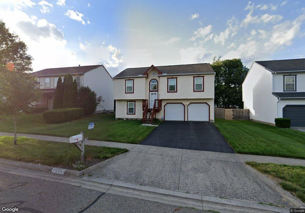
7634 Rippingale St Blacklick, OH 43004
East Broad NeighborhoodEstimated Value: $288,000 - $324,000
3
Beds
2
Baths
1,668
Sq Ft
$185/Sq Ft
Est. Value
About This Home
This home is located at 7634 Rippingale St, Blacklick, OH 43004 and is currently estimated at $307,833, approximately $184 per square foot. 7634 Rippingale St is a home located in Franklin County with nearby schools including Olde Orchard Elementary School, Sherwood Middle School, and Walnut Ridge High School.
Ownership History
Date
Name
Owned For
Owner Type
Purchase Details
Closed on
Sep 30, 2009
Sold by
Shaw Michael J and Shaw Rebecca
Bought by
Tucker Umeki G
Current Estimated Value
Home Financials for this Owner
Home Financials are based on the most recent Mortgage that was taken out on this home.
Original Mortgage
$120,772
Outstanding Balance
$78,018
Interest Rate
5.19%
Mortgage Type
FHA
Estimated Equity
$229,815
Purchase Details
Closed on
May 20, 2003
Sold by
Maronda Homes Inc Of Ohio
Bought by
Shaw Michael J
Create a Home Valuation Report for This Property
The Home Valuation Report is an in-depth analysis detailing your home's value as well as a comparison with similar homes in the area
Home Values in the Area
Average Home Value in this Area
Purchase History
| Date | Buyer | Sale Price | Title Company |
|---|---|---|---|
| Tucker Umeki G | $123,000 | Attorney | |
| Shaw Michael J | $119,900 | Chicago Title |
Source: Public Records
Mortgage History
| Date | Status | Borrower | Loan Amount |
|---|---|---|---|
| Open | Tucker Umeki G | $120,772 |
Source: Public Records
Tax History
| Year | Tax Paid | Tax Assessment Tax Assessment Total Assessment is a certain percentage of the fair market value that is determined by local assessors to be the total taxable value of land and additions on the property. | Land | Improvement |
|---|---|---|---|---|
| 2025 | $4,105 | $91,460 | $29,930 | $61,530 |
| 2024 | $4,105 | $91,460 | $29,930 | $61,530 |
| 2023 | $4,052 | $91,455 | $29,925 | $61,530 |
| 2022 | $2,788 | $53,760 | $17,080 | $36,680 |
| 2021 | $2,793 | $53,760 | $17,080 | $36,680 |
| 2020 | $2,797 | $53,760 | $17,080 | $36,680 |
| 2019 | $2,569 | $42,350 | $13,650 | $28,700 |
| 2018 | $2,361 | $42,350 | $13,650 | $28,700 |
| 2017 | $2,568 | $42,350 | $13,650 | $28,700 |
| 2016 | $2,377 | $35,880 | $6,860 | $29,020 |
| 2015 | $2,158 | $35,880 | $6,860 | $29,020 |
| 2014 | $2,163 | $35,880 | $6,860 | $29,020 |
| 2013 | $1,185 | $39,865 | $7,630 | $32,235 |
Source: Public Records
Map
Nearby Homes
- 385 Rocky Springs Dr
- 7482 Old River Dr
- 7863 Antonio Ln
- 640 Kingshurst Dr
- 7887 Antonio Ln
- 406 Hances Dr
- 7500 Call Rd Unit 110F
- 646 Fairbury Way Unit 14-B
- 7450 Call Rd Unit 99E
- 8063 Arbor Rose Way
- 676 Wadebridge Dr Unit 5A
- 141 MacFalls Way Unit 14A
- 217 MacAndrews Way Unit 61C
- 175 MacEnroe Dr Unit 32F
- 593 Mulberry St
- 8231 Sea Star Dr
- 8222 Old Ivory Way
- 8278 Catalpa Ridge Dr Unit 8278
- 346 Shadbush Dr Unit 346
- 7854 Astra Cir
- 7642 Rippingale St
- 7626 Rippingale St
- 7650 Rippingale St
- 7618 Rippingale St
- 7701 Brunfield Dr
- 7693 Brunfield Dr
- 7709 Brunfield Dr
- 7717 Brunfield Dr
- 7685 Brunfield Dr
- 7658 Rippingale St
- 7610 Rippingale St
- 7635 Rippingale St
- 7627 Rippingale St
- 7725 Brunfield Dr
- 7643 Rippingale St
- 7677 Brunfield Dr
- 7619 Rippingale St
- 7651 Rippingale St
- 7733 Brunfield Dr
- 7602 Rippingale St
Your Personal Tour Guide
Ask me questions while you tour the home.