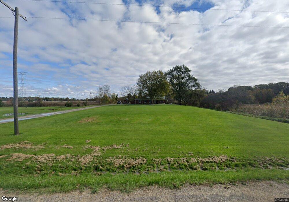
76380 Andrews Rd Richmond, MI 48062
Estimated Value: $424,968 - $482,000
4
Beds
3
Baths
2,610
Sq Ft
$173/Sq Ft
Est. Value
About This Home
This home is located at 76380 Andrews Rd, Richmond, MI 48062 and is currently estimated at $450,742, approximately $172 per square foot. 76380 Andrews Rd is a home located in Macomb County with nearby schools including Will L. Lee School, Richmond Middle School, and Richmond Community High School.
Ownership History
Date
Name
Owned For
Owner Type
Purchase Details
Closed on
Mar 30, 2015
Sold by
Trautman Louis and Trautman Luann
Bought by
Genereaux Matthew X and Genereaux Michelle
Current Estimated Value
Purchase Details
Closed on
May 1, 1996
Sold by
Theodore C and Theodore P
Bought by
Trautman L and Trautman L
Create a Home Valuation Report for This Property
The Home Valuation Report is an in-depth analysis detailing your home's value as well as a comparison with similar homes in the area
Home Values in the Area
Average Home Value in this Area
Purchase History
| Date | Buyer | Sale Price | Title Company |
|---|---|---|---|
| Genereaux Matthew X | $240,000 | Greco Title Agency Llc | |
| Trautman L | $178,500 | -- |
Source: Public Records
Tax History Compared to Growth
Tax History
| Year | Tax Paid | Tax Assessment Tax Assessment Total Assessment is a certain percentage of the fair market value that is determined by local assessors to be the total taxable value of land and additions on the property. | Land | Improvement |
|---|---|---|---|---|
| 2025 | $4,248 | $185,400 | $0 | $0 |
| 2024 | $3,275 | $183,000 | $0 | $0 |
| 2023 | $3,139 | $159,700 | $0 | $0 |
| 2022 | $3,881 | $134,700 | $0 | $0 |
| 2021 | $3,781 | $131,900 | $0 | $0 |
| 2020 | $2,882 | $119,000 | $0 | $0 |
| 2019 | $3,226 | $119,000 | $0 | $0 |
| 2018 | $3,226 | $120,200 | $0 | $0 |
| 2017 | $2,350 | $112,983 | $31,722 | $81,261 |
| 2016 | $3,099 | $112,983 | $0 | $0 |
| 2015 | -- | $103,698 | $0 | $0 |
| 2014 | -- | $94,258 | $0 | $0 |
| 2012 | -- | $85,054 | $0 | $0 |
Source: Public Records
Map
Nearby Homes
- 0 00 Meskill Rd 4001 - 070 Parcel 8 & 1001-000 Rd Unit 50159561
- 0 00 Kroner Rd 4001 - 060 Parcel 7 Rd Unit 50159560
- 0 00 Kroner Rd 4001 - 040 Parcel 5 Rd Unit 50159557
- 00 Kroner Rd 4001 - 010 Parcel 2 Roads
- 0 00 Kroner 4001 - 020 Parcel 3 Rd Unit 50159555
- 0 00 Weber Rd 4001-001 Parcel 1 Rd Unit 50159551
- 0 00 Weber Rd 4001 - 080 Parcel 9 Rd
- 0 00 Weber Rd 4001 - 090 Parcel 10 Rd
- 0 00 Weber Rd 4001-100 Parcel 11 Rd
- 575 Stoddard Rd
- Lot C Stoddard Rd
- 0 Hebel Rd
- 35356 Potter St
- 75200 Mackey Rd
- 00 Weber Rd
- 00 Memphis Ridge Rd
- 2347 Kronner Rd
- 81115 Belle River Rd
- 0 Bauman Rd Unit 50090600
- 9224 Weber Rd
- 76540 Andrews Rd Parcel "B"
- 76311 Andrews Rd
- 37352 Meskill Rd
- 37248 Meskill Rd
- 76989 Andrews Rd
- 37730 Meskill Rd
- 76861 Andrews Rd
- 75750 Andrews Rd
- 76919 Andrews Rd
- 37601 Logg Rd
- 37820 Meskill Rd
- 37545 Meskill Rd
- 75560 Andrews Rd
- 37661 Meskill Rd
- 75555 Andrews Rd
- 75470 Andrews Rd
- 0 Meskill Rd Unit 212059558
- 0 Meskill Rd Unit 214079747
- 0 Meskill Rd Unit 215020688
- 00 Meskill Rd