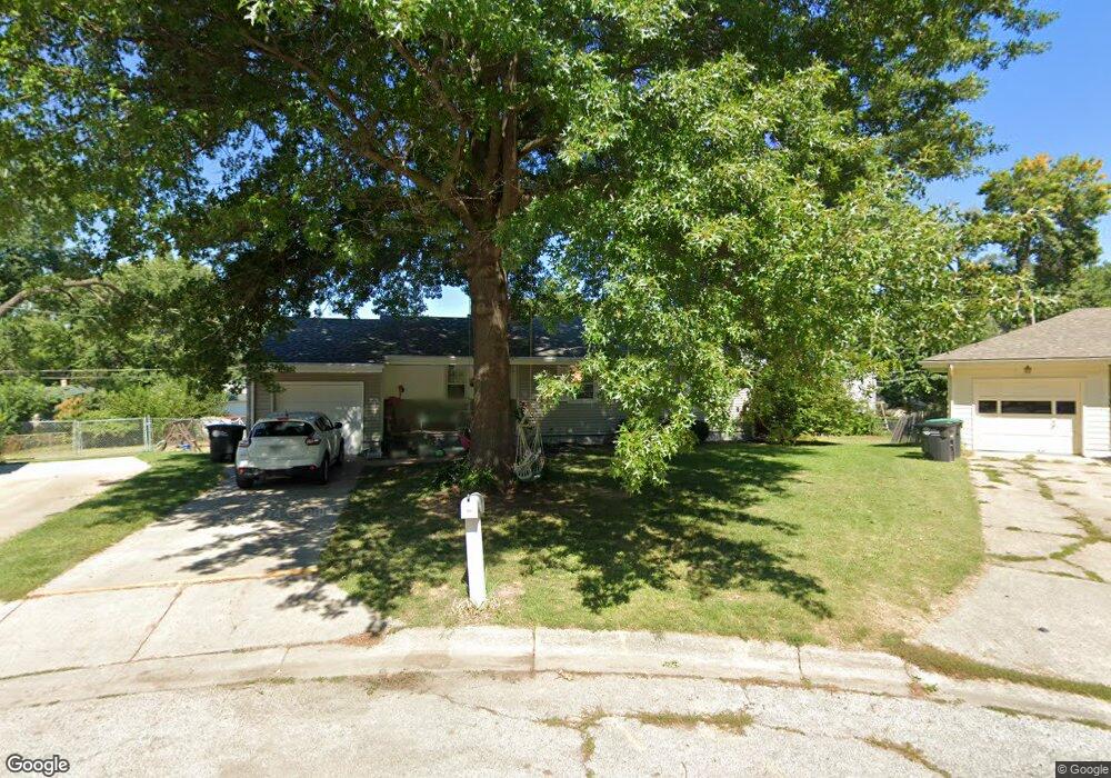
7640 Davis Omaha Cir Omaha, NE 68134
Benson Gardens NeighborhoodEstimated Value: $212,000 - $226,000
About This Home
This home is located at 7640 Davis Omaha Cir, Omaha, NE 68134 and is currently estimated at $217,854, approximately $117 per square foot. 7640 Davis Omaha Cir is a home located in Douglas County with nearby schools including Adams Elementary School, Monroe Middle School, and Northwest High School.
Ownership History
We collect this data history from publicly available records. To have your information removed, we recommend requesting removal directly through your county’s website.
Purchase Details
Home Financials for this Owner
Home Financials are based on the most recent Mortgage that was taken out on this home.Purchase Details
Purchase Details
Home Financials for this Owner
Home Financials are based on the most recent Mortgage that was taken out on this home.Purchase Details
Home Values in the Area
Average Home Value in this Area
Purchase History
We collect this data history from publicly available records. To have your information removed, we recommend requesting removal directly through your county’s website.
| Date | Buyer | Sale Price | Title Company |
|---|---|---|---|
| $131,000 | Aksarben Title & Escrow | ||
| $115,000 | -- | ||
| $77,000 | -- | ||
| $103,642 | -- |
Mortgage History
We collect this data history from publicly available records. To have your information removed, we recommend requesting removal directly through your county’s website.
| Date | Status | Borrower | Loan Amount |
|---|---|---|---|
| Closed | $6,550 | ||
| Closed | $72,200 |
Tax History
We collect this data history from publicly available records. To have your information removed, we recommend requesting removal directly through your county’s website.
| Year | Tax Paid | Tax Assessment Tax Assessment Total Assessment is a certain percentage of the fair market value that is determined by local assessors to be the total taxable value of land and additions on the property. | Land | Improvement |
|---|---|---|---|---|
| 2025 | $2,858 | $173,500 | $18,600 | $154,900 |
| 2024 | $3,291 | $173,500 | $18,600 | $154,900 |
| 2023 | $3,291 | $156,000 | $18,600 | $137,400 |
| 2022 | $3,330 | $156,000 | $18,600 | $137,400 |
| 2021 | $2,908 | $137,400 | $18,600 | $118,800 |
| 2020 | $2,672 | $124,800 | $18,600 | $106,200 |
| 2019 | $2,407 | $112,100 | $18,600 | $93,500 |
| 2018 | $2,286 | $106,300 | $18,600 | $87,700 |
| 2017 | $2,031 | $94,000 | $18,600 | $75,400 |
| 2016 | $1,350 | $108,700 | $7,000 | $101,700 |
| 2015 | $1,350 | $101,500 | $6,500 | $95,000 |
| 2014 | $1,350 | $101,500 | $6,500 | $95,000 |
Map
- 7605 Richmond Dr
- 2315 N 75th St
- 1805 N 78th St
- 7770 Franklin St
- 1414 Maenner Dr
- 2507 N 71st St
- 7704 Lafayette Ave
- 2514 N 70th St
- 7744 Western Ave
- 7731 Western Ave
- 3206 N 78th St
- 2627 N 70th St
- 3214 N 78th St
- 7066 Binney St
- 2307 N 68th St
- 6795 Seward St
- 6779 Franklin St
- 2809 N 69th St
- 7076 Nicholas Cir
- 6904 Lafayette Ave
- 7630 Davis Cir
- 7636 Davis Cir
- 7624 Davis Cir
- 7620 Davis Cir
- 7627 Davis Cir
- 7640 Davis Cir
- 7633 Davis Cir
- 7553 Richmond Dr
- 7549 Richmond Dr
- 7619 Davis Cir
- 7650 Davis Cir
- 7559 Richmond Dr
- 7643 Davis Cir
- 7545 Richmond Dr
- 7616 Davis Cir
- 7644 Davis Cir
- 7601 Richmond Dr
- 7648 Davis Cir
- 7539 Richmond Dr
- 7611 Davis Cir
Ask me questions while you tour the home.