7642 Highway 140 Eagle Point, OR 97524
Estimated Value: $541,000 - $709,000
3
Beds
1
Bath
1,696
Sq Ft
$374/Sq Ft
Est. Value
About This Home
This home is located at 7642 Highway 140, Eagle Point, OR 97524 and is currently estimated at $634,329, approximately $374 per square foot. 7642 Highway 140 is a home located in Jackson County with nearby schools including Table Rock Elementary School, Eagle Point Middle School, and White Mountain Middle School.
Ownership History
Date
Name
Owned For
Owner Type
Purchase Details
Closed on
Oct 5, 2023
Sold by
Payne Family Trust
Bought by
Payne Allen R and Payne Lois D
Current Estimated Value
Home Financials for this Owner
Home Financials are based on the most recent Mortgage that was taken out on this home.
Original Mortgage
$410,000
Outstanding Balance
$400,616
Interest Rate
7.23%
Mortgage Type
New Conventional
Estimated Equity
$233,714
Purchase Details
Closed on
May 21, 2009
Sold by
Payne Harold Ray and Payne Erma June
Bought by
Payne Harold Ray and Payne Erma June
Create a Home Valuation Report for This Property
The Home Valuation Report is an in-depth analysis detailing your home's value as well as a comparison with similar homes in the area
Purchase History
| Date | Buyer | Sale Price | Title Company |
|---|---|---|---|
| Payne Allen R | $610,000 | Ticor Title | |
| Payne Harold Ray | -- | None Available |
Source: Public Records
Mortgage History
| Date | Status | Borrower | Loan Amount |
|---|---|---|---|
| Open | Payne Allen R | $410,000 |
Source: Public Records
Tax History
| Year | Tax Paid | Tax Assessment Tax Assessment Total Assessment is a certain percentage of the fair market value that is determined by local assessors to be the total taxable value of land and additions on the property. | Land | Improvement |
|---|---|---|---|---|
| 2026 | $1,301 | $112,149 | -- | -- |
| 2025 | $1,306 | $124,788 | $18,718 | $106,070 |
| 2024 | $1,306 | $121,276 | $18,286 | $102,990 |
| 2023 | $1,280 | $117,864 | $17,874 | $99,990 |
| 2022 | $1,205 | $117,864 | $17,874 | $99,990 |
| 2021 | $1,206 | $114,549 | $17,469 | $97,080 |
| 2020 | $1,341 | $110,364 | $17,244 | $93,120 |
| 2019 | $1,306 | $105,186 | $16,326 | $88,860 |
| 2018 | $1,275 | $99,633 | $15,863 | $83,770 |
| 2017 | $1,253 | $99,633 | $15,863 | $83,770 |
| 2016 | $1,190 | $94,230 | $15,190 | $79,040 |
| 2015 | $1,138 | $87,410 | $14,920 | $72,490 |
| 2014 | $1,079 | $82,825 | $14,165 | $68,660 |
Source: Public Records
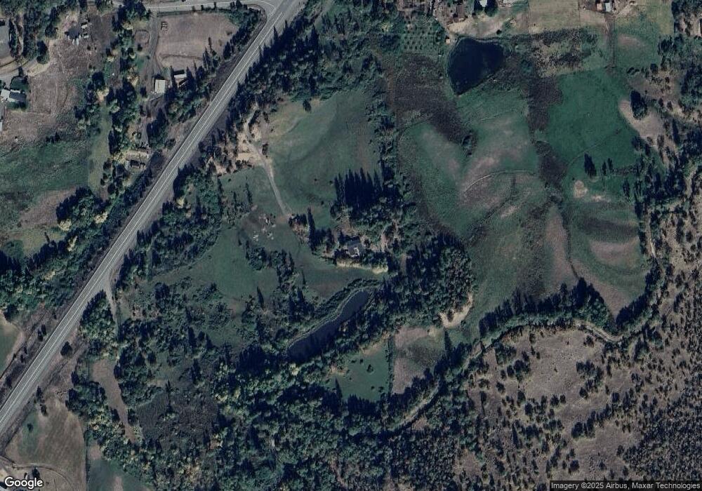
Map
Nearby Homes
- 766 Meridian Rd
- 1918 Stevens Rd
- 0 Riley Rd Unit 220209029
- 1207 Overlook Dr
- 1319 Crestmont Place
- 1219 Overlook Dr
- 1214 Overlook Dr
- 1297 Stonegate Dr Unit 473
- 101 Stonegate Dr Unit 470
- 107 Stonegate Dr Unit 469
- 494 Pinnacle Ridge
- The 2096 Plan at Eagle Point
- The 2890 Plan at Eagle Point
- The 2674 Plan at Eagle Point
- The 3297 Plan at Eagle Point
- The 2978 Plan at Eagle Point
- The 1930 Plan at Eagle Point
- The 2278 Plan at Eagle Point
- The 2001 Plan at Eagle Point
- The 2393 Plan at Eagle Point
- 7642 Hwy 140
- 1948 Brownsboro-Meridian Rd
- 1948 Brownsboro Meridian Rd
- 2036 Brownsboro Meridian Rd
- 1901 Brownsboro Meridian Rd
- 1800 Brownsboro-Meridian Rd
- 7490 Highway 140
- 1800 Brownsboro Meridian Rd
- 7778 Oregon 140
- 7772 Highway 140
- 1765 Brownsboro-Meridian Rd
- 1732 Brownsboro Meridian Rd
- 1799 Brownsboro Meridian Rd
- 2525 Brownsboro Meridian Rd
- 7798 Highway 140
- 7798 Highway 140
- 7790 Oregon 140
- 1865 Brownsboro Meridian Rd
- 2553 Brownsboro Meridian Rd
- 2345 Brownsboro-Meridian Rd