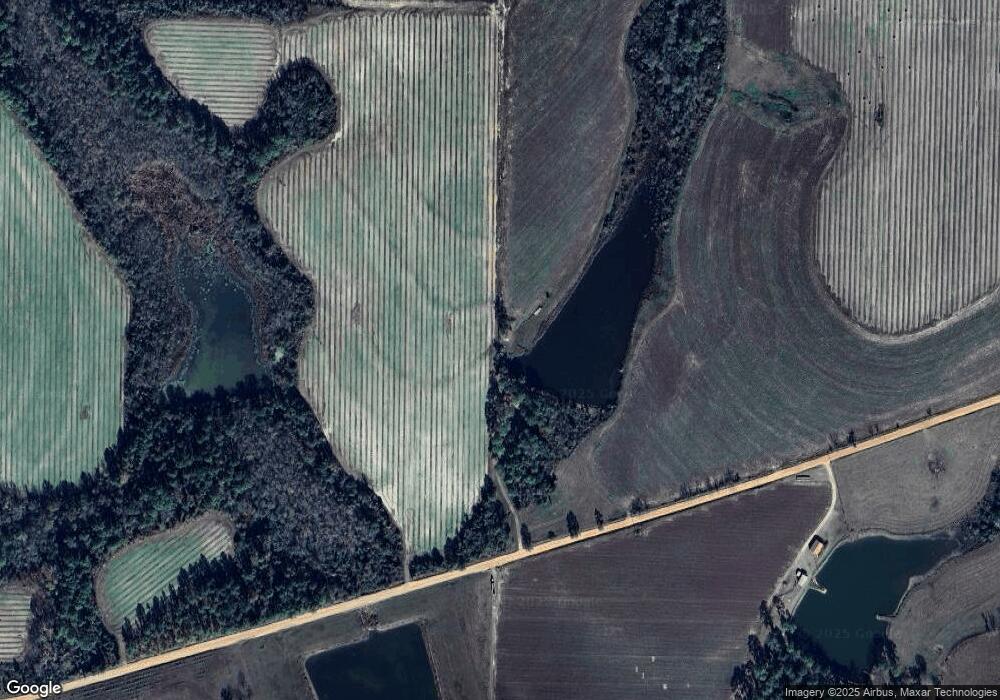
765 Mauldin Rd Sycamore, GA 31790
Estimated Value: $150,000 - $228,000
3
Beds
1
Bath
1,464
Sq Ft
$120/Sq Ft
Est. Value
About This Home
This home is located at 765 Mauldin Rd, Sycamore, GA 31790 and is currently estimated at $176,212, approximately $120 per square foot. 765 Mauldin Rd is a home located in Turner County with nearby schools including Turner County Elementary School, Turner County Middle School, and Turner County High School.
Ownership History
Date
Name
Owned For
Owner Type
Purchase Details
Closed on
Feb 28, 2020
Sold by
Lang Larry R
Bought by
Harden Kaylee M
Current Estimated Value
Purchase Details
Closed on
Jun 27, 2008
Sold by
Lang Brenda G
Bought by
Lang Brenda G
Purchase Details
Closed on
Jan 16, 2007
Sold by
Mauldin Janelle
Bought by
Lang Brenda G
Create a Home Valuation Report for This Property
The Home Valuation Report is an in-depth analysis detailing your home's value as well as a comparison with similar homes in the area
Home Values in the Area
Average Home Value in this Area
Purchase History
| Date | Buyer | Sale Price | Title Company |
|---|---|---|---|
| Harden Kaylee M | $90,000 | -- | |
| Lang Brenda G | -- | -- | |
| Lang Brenda G | -- | -- |
Source: Public Records
Tax History Compared to Growth
Tax History
| Year | Tax Paid | Tax Assessment Tax Assessment Total Assessment is a certain percentage of the fair market value that is determined by local assessors to be the total taxable value of land and additions on the property. | Land | Improvement |
|---|---|---|---|---|
| 2024 | $1,211 | $46,041 | $3,499 | $42,542 |
| 2023 | $1,079 | $35,777 | $4,541 | $31,236 |
| 2022 | $1,079 | $35,777 | $4,541 | $31,236 |
| 2021 | $1,080 | $35,777 | $4,541 | $31,236 |
| 2020 | $1,080 | $35,777 | $4,541 | $31,236 |
| 2019 | $1,081 | $35,777 | $4,541 | $31,236 |
| 2018 | $1,144 | $35,777 | $4,541 | $31,236 |
| 2017 | $1,144 | $35,777 | $4,541 | $31,236 |
| 2016 | $1,082 | $35,777 | $4,541 | $31,236 |
| 2015 | -- | $35,777 | $4,541 | $31,236 |
| 2014 | -- | $35,777 | $4,541 | $31,236 |
Source: Public Records
Map
Nearby Homes
- 5701 Ga Highway 32 E
- 0 Wyatt Way
- 1511 Bussey Rd
- 371 Lakeview Dr
- 289 Mason Dixon Line Rd
- 289 Mason Dixon Line Rd Unit 3
- 160 E Willis St
- 2633 Us Hwy 41
- 196 N Mattie Ave
- 196 N Mattie Ave Unit 9-10-11
- 195 Mattie Ave
- 7 Red Oak Rd
- 357 Chula Brookfield Rd
- 883 N Railroad Ave
- 916 Randall H Whiddon Dr
- 0 Whiddon Mill Rd Unit 138931
- 0 Whiddon Mill Rd Unit 138434
- 5106 Georgia 125
- 727 Donna Ave
- 18 Hank Mike Rd
- 804 Mauldin Rd
- 1177 Mauldin Rd
- 1180 Mauldin Rd
- 210 Pearce Ln
- 6780 Denham Rd
- 0 Mauldin Rd
- 1929 Purcell Rd
- 6824 Denham Rd
- 1785 Purcell Rd
- 2260 Purcell Rd
- 6521 Denham Rd
- 6671 Denham Rd
- 6380 Denham Rd
- 6381 Denham Rd
- 2345 Wells Rd
- 1700 Mauldin Rd
- 6181 Denham Rd
- 145 Pearce Ln
- 2512 Purcell Rd
- 1480 Purcell Rd
