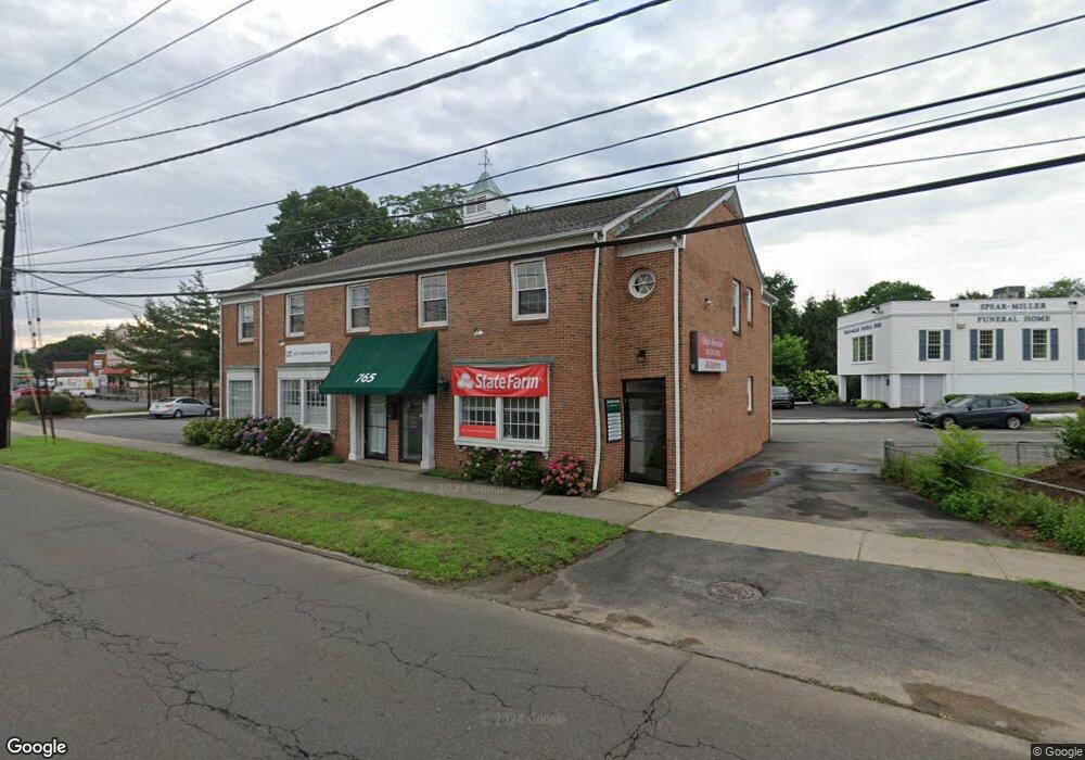
765 Post Rd Unit 1 Fairfield, CT 06824
Fairfield Center NeighborhoodEstimated Value: $1,575,132
Studio
--
Bath
3,942
Sq Ft
$400/Sq Ft
Est. Value
About This Home
This home is located at 765 Post Rd Unit 1, Fairfield, CT 06824 and is currently estimated at $1,575,132, approximately $399 per square foot. 765 Post Rd Unit 1 is a home located in Fairfield County with nearby schools including Roger Sherman Elementary School, Roger Ludlowe Middle School, and Fairfield Ludlowe High School.
Ownership History
Date
Name
Owned For
Owner Type
Purchase Details
Closed on
Jun 12, 2015
Sold by
Tortoise Shell Llc
Bought by
765 Post Road Llc
Current Estimated Value
Purchase Details
Closed on
Sep 3, 1998
Sold by
765 Post Rd Llc
Bought by
Lee John M
Home Financials for this Owner
Home Financials are based on the most recent Mortgage that was taken out on this home.
Original Mortgage
$500,000
Interest Rate
6.9%
Mortgage Type
Commercial
Purchase Details
Closed on
Feb 6, 1998
Sold by
William Pitt Lt and Pitt William
Bought by
Rd 765 Post
Create a Home Valuation Report for This Property
The Home Valuation Report is an in-depth analysis detailing your home's value as well as a comparison with similar homes in the area
Home Values in the Area
Average Home Value in this Area
Purchase History
| Date | Buyer | Sale Price | Title Company |
|---|---|---|---|
| 765 Post Road Llc | $925,000 | -- | |
| 765 Post Road Llc | $925,000 | -- | |
| Lee John M | $650,000 | -- | |
| Lee John M | $650,000 | -- | |
| Rd 765 Post | $650,000 | -- | |
| 765 Post Rd | $650,000 | -- |
Source: Public Records
Mortgage History
| Date | Status | Borrower | Loan Amount |
|---|---|---|---|
| Previous Owner | 765 Post Rd | $360,000 | |
| Previous Owner | 765 Post Rd | $500,000 |
Source: Public Records
Tax History
| Year | Tax Paid | Tax Assessment Tax Assessment Total Assessment is a certain percentage of the fair market value that is determined by local assessors to be the total taxable value of land and additions on the property. | Land | Improvement |
|---|---|---|---|---|
| 2025 | $20,728 | $730,100 | $409,010 | $321,090 |
| 2024 | $20,370 | $730,100 | $409,010 | $321,090 |
| 2023 | $20,085 | $730,100 | $409,010 | $321,090 |
| 2022 | $19,888 | $730,100 | $409,010 | $321,090 |
| 2021 | $19,698 | $730,100 | $409,010 | $321,090 |
| 2020 | $17,408 | $649,810 | $361,690 | $288,120 |
| 2019 | $17,408 | $649,810 | $361,690 | $288,120 |
| 2018 | $17,129 | $649,810 | $361,690 | $288,120 |
| 2017 | $16,778 | $649,810 | $361,690 | $288,120 |
| 2016 | $16,538 | $649,810 | $361,690 | $288,120 |
| 2015 | $19,982 | $806,050 | $547,820 | $258,230 |
| 2014 | -- | $806,050 | $547,820 | $258,230 |
Source: Public Records
Map
Nearby Homes
- 855 Riverside Dr
- 98 Cambridge St
- 164 Wakeman Rd
- 20 Ermine St
- 598 S Benson Rd
- 245 Unquowa Rd Unit 2
- 245 Unquowa Rd Unit 82
- 245 Unquowa Rd Unit 6
- 378 Penfield Rd
- 394 Penfield Rd
- 126 Lalley Blvd
- 345 Reef Rd Unit B6
- 345 Reef Rd Unit C9
- 15 Barton Rd
- 187 Catherine Terrace
- 65 Thorpe St Unit 65
- 110 Pratt St
- 88 Veres St
- 70 Meadow Ridge Rd
- 25 Helen St
- 25 S Benson Rd
- 801 Post Rd
- 733 Post Rd
- 701 Post Rd
- 79 S Benson Rd
- 79 S Benson Rd Unit 1
- 79 S Benson Rd Unit 2
- 79 S Benson Rd Unit 5
- 79 S Benson Rd Unit 3
- 79 S Benson Rd Unit 6
- 91 S Benson Rd
- 881 Post Rd
- 99 S Benson Rd
- 35 S Benson Commons
- 45 S Benson Commons
- 21 S Benson Commons
- 21 S Benson Commons
- 873 Post Rd
- 45 S Benson Commons
- 131 S Benson Rd
Your Personal Tour Guide
Ask me questions while you tour the home.