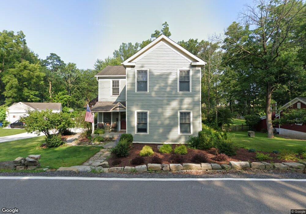
7650 River Rd Olmsted Falls, OH 44138
Estimated Value: $216,000 - $306,000
3
Beds
2
Baths
1,788
Sq Ft
$153/Sq Ft
Est. Value
About This Home
This home is located at 7650 River Rd, Olmsted Falls, OH 44138 and is currently estimated at $272,746, approximately $152 per square foot. 7650 River Rd is a home located in Cuyahoga County with nearby schools including Falls-Lenox Primary Elementary School, Olmsted Falls Intermediate Building, and Olmsted Falls Middle School.
Ownership History
Date
Name
Owned For
Owner Type
Purchase Details
Closed on
Aug 30, 2000
Sold by
Schillace Paul M
Bought by
Klepek Christine M
Current Estimated Value
Home Financials for this Owner
Home Financials are based on the most recent Mortgage that was taken out on this home.
Original Mortgage
$61,750
Outstanding Balance
$22,585
Interest Rate
8.15%
Mortgage Type
Purchase Money Mortgage
Estimated Equity
$250,161
Purchase Details
Closed on
Dec 27, 1991
Sold by
Schillace Paul M
Bought by
Schillace Paul M
Purchase Details
Closed on
Feb 16, 1988
Sold by
Schillace Paul M and Schillace Theresa
Bought by
Schillace Paul M
Purchase Details
Closed on
Jul 12, 1982
Sold by
Offenberg Ralph E
Bought by
Schillace Paul M and Schillace Theresa
Purchase Details
Closed on
Jan 1, 1975
Bought by
Offenberg Ralph E
Create a Home Valuation Report for This Property
The Home Valuation Report is an in-depth analysis detailing your home's value as well as a comparison with similar homes in the area
Home Values in the Area
Average Home Value in this Area
Purchase History
| Date | Buyer | Sale Price | Title Company |
|---|---|---|---|
| Klepek Christine M | $65,000 | Approved Statewide Title Age | |
| Schillace Paul M | -- | -- | |
| Schillace Paul M | -- | -- | |
| Schillace Paul M | $43,000 | -- | |
| Offenberg Ralph E | -- | -- |
Source: Public Records
Mortgage History
| Date | Status | Borrower | Loan Amount |
|---|---|---|---|
| Open | Klepek Christine M | $61,750 |
Source: Public Records
Tax History
| Year | Tax Paid | Tax Assessment Tax Assessment Total Assessment is a certain percentage of the fair market value that is determined by local assessors to be the total taxable value of land and additions on the property. | Land | Improvement |
|---|---|---|---|---|
| 2024 | $5,938 | $82,040 | $20,265 | $61,775 |
| 2023 | $5,693 | $64,230 | $19,950 | $44,280 |
| 2022 | $5,647 | $64,230 | $19,950 | $44,280 |
| 2021 | $5,031 | $64,230 | $19,950 | $44,280 |
| 2020 | $4,551 | $51,380 | $15,960 | $35,420 |
| 2019 | $4,040 | $146,800 | $45,600 | $101,200 |
| 2018 | $3,581 | $51,380 | $15,960 | $35,420 |
| 2017 | $3,120 | $36,190 | $15,190 | $21,000 |
| 2016 | $3,103 | $36,190 | $15,190 | $21,000 |
| 2015 | $2,950 | $36,190 | $15,190 | $21,000 |
| 2014 | $2,950 | $33,500 | $14,070 | $19,430 |
Source: Public Records
Map
Nearby Homes
- 281-12-007 River Rd
- 281-12-024 River Rd
- 7593 Columbia Rd
- V/L Columbia Rd
- 0 River Rd Unit 5169658
- 8241 Lewis Rd
- 0
- 5 Hawthorn Dr
- 121 Slippery Rock Ln
- 12 Maple Dr
- 11 Brookins Dr
- 160 Stonepointe Dr
- 1 Tympani Trail
- 3 Tympani Trail
- 16 Van Ess Dr
- 1 Fiddle Sticks
- 20 Van Ess Dr
- 73 Periwinkle Dr
- L 38 S Smokestack Trail
- Anderson Plan at Smokestack Trails
Your Personal Tour Guide
Ask me questions while you tour the home.