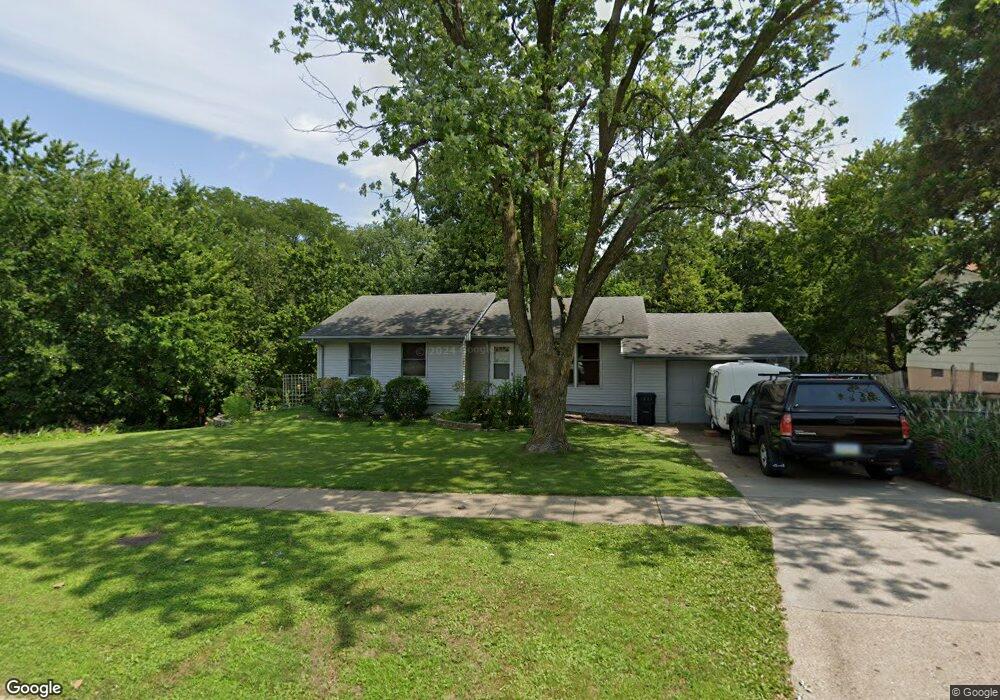
7650 Roseland Dr Urbandale, IA 50322
Estimated Value: $255,000 - $276,000
3
Beds
1
Bath
1,040
Sq Ft
$255/Sq Ft
Est. Value
About This Home
This home is located at 7650 Roseland Dr, Urbandale, IA 50322 and is currently estimated at $265,119, approximately $254 per square foot. 7650 Roseland Dr is a home located in Polk County with nearby schools including Karen Acres Elementary School, Valerius Elementary School, and Urbandale Middle School.
Ownership History
Date
Name
Owned For
Owner Type
Purchase Details
Closed on
Dec 27, 2001
Sold by
Sturdevant Linda K
Bought by
Bishop Charles T and Bishop Kimberly D
Current Estimated Value
Home Financials for this Owner
Home Financials are based on the most recent Mortgage that was taken out on this home.
Original Mortgage
$103,050
Outstanding Balance
$40,148
Interest Rate
6.53%
Estimated Equity
$224,971
Purchase Details
Closed on
Jun 25, 1997
Sold by
Sturdevant Fred M
Bought by
Sturdevant Linda K
Create a Home Valuation Report for This Property
The Home Valuation Report is an in-depth analysis detailing your home's value as well as a comparison with similar homes in the area
Home Values in the Area
Average Home Value in this Area
Purchase History
| Date | Buyer | Sale Price | Title Company |
|---|---|---|---|
| Bishop Charles T | $117,500 | Iowa Title | |
| Sturdevant Linda K | -- | -- |
Source: Public Records
Mortgage History
| Date | Status | Borrower | Loan Amount |
|---|---|---|---|
| Open | Bishop Charles T | $103,050 |
Source: Public Records
Tax History Compared to Growth
Tax History
| Year | Tax Paid | Tax Assessment Tax Assessment Total Assessment is a certain percentage of the fair market value that is determined by local assessors to be the total taxable value of land and additions on the property. | Land | Improvement |
|---|---|---|---|---|
| 2025 | $4,214 | $268,300 | $86,300 | $182,000 |
| 2024 | $4,214 | $243,100 | $77,200 | $165,900 |
| 2023 | $4,198 | $243,100 | $77,200 | $165,900 |
| 2022 | $4,148 | $204,500 | $66,600 | $137,900 |
| 2021 | $4,040 | $204,500 | $66,600 | $137,900 |
| 2020 | $3,968 | $189,400 | $61,700 | $127,700 |
| 2019 | $3,730 | $189,400 | $61,700 | $127,700 |
| 2018 | $3,590 | $170,700 | $54,500 | $116,200 |
| 2017 | $3,286 | $170,700 | $54,500 | $116,200 |
| 2016 | $3,202 | $154,300 | $48,900 | $105,400 |
| 2015 | $3,202 | $154,300 | $48,900 | $105,400 |
| 2014 | $2,918 | $145,800 | $45,800 | $100,000 |
Source: Public Records
Map
Nearby Homes
- 7201 Maple Dr
- 8073 Cobblestone Rd
- 2548 Pine Cir
- 8037 Cobblestone Ct
- 7051 Oak Brook Dr
- 7204 Douglas Ave
- 8024 Cobblestone Rd
- 8008 Cobblestone Rd
- 2405 81st Cir
- 3808 72nd St
- 7100 Holcomb Ave
- 3907 73rd St
- 3206 68th St
- 3924 80th St
- TBD Hickman Rd
- 7901 Airline Ave
- 3233 68th St
- 7708 Ridgemont Dr
- 2708 68th St
- 2077 NW 80th Ct
- 3108 Ashwood Dr
- 7654 Roseland Dr
- 3104 Ashwood Dr
- 3112 Ashwood Dr
- 3100 Ashwood Dr
- 7701 Dellwood Dr
- 7658 Roseland Dr
- 7653 Roseland Dr
- 7702 Dellwood Dr
- 3118 Ashwood Dr
- 3004 Ashwood Dr
- 7703 Dellwood Dr
- 7657 Roseland Dr
- 7664 Roseland Dr
- 7700 Brookshire Dr
- 7513 Beechwood Dr
- 7705 Dellwood Dr
- 7704 Brookshire Dr
- 3200 Ashwood Dr
- 3000 Ashwood Dr