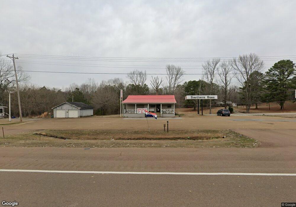
7652 Highway 64 E Selmer, TN 38375
Estimated Value: $74,770
--
Bed
1
Bath
1,520
Sq Ft
$49/Sq Ft
Est. Value
About This Home
This home is located at 7652 Highway 64 E, Selmer, TN 38375 and is currently estimated at $74,770, approximately $49 per square foot. 7652 Highway 64 E is a home located in McNairy County with nearby schools including Adamsville Elementary School, Selmer Elementary School, and Michie Elementary School.
Ownership History
Date
Name
Owned For
Owner Type
Purchase Details
Closed on
Mar 27, 2021
Sold by
Jacobi Beth
Bought by
Jacobi Stanley P
Current Estimated Value
Purchase Details
Closed on
Jan 22, 2018
Sold by
Gray Scott A
Bought by
Jacobi Stan and Jacobi Beth
Purchase Details
Closed on
Dec 19, 2005
Sold by
Community South
Bought by
Gray Scott A
Purchase Details
Closed on
Mar 31, 2005
Bought by
Community South
Purchase Details
Closed on
Jul 29, 2004
Bought by
Evans David Lynn and Evans Leigh
Create a Home Valuation Report for This Property
The Home Valuation Report is an in-depth analysis detailing your home's value as well as a comparison with similar homes in the area
Home Values in the Area
Average Home Value in this Area
Purchase History
| Date | Buyer | Sale Price | Title Company |
|---|---|---|---|
| Jacobi Stanley P | -- | None Available | |
| Jacobi Stan | $38,000 | -- | |
| Gray Scott A | $70,000 | -- | |
| Community South | -- | -- | |
| Evans David Lynn | $100,000 | -- |
Source: Public Records
Tax History Compared to Growth
Tax History
| Year | Tax Paid | Tax Assessment Tax Assessment Total Assessment is a certain percentage of the fair market value that is determined by local assessors to be the total taxable value of land and additions on the property. | Land | Improvement |
|---|---|---|---|---|
| 2025 | $409 | $25,960 | $0 | $0 |
| 2024 | $409 | $25,960 | $1,440 | $24,520 |
| 2023 | $409 | $25,960 | $1,440 | $24,520 |
| 2022 | $409 | $25,960 | $1,440 | $24,520 |
| 2021 | $536 | $26,200 | $1,280 | $24,920 |
| 2020 | $536 | $26,200 | $1,280 | $24,920 |
| 2019 | $536 | $26,200 | $1,280 | $24,920 |
| 2018 | $536 | $26,200 | $1,280 | $24,920 |
| 2017 | $536 | $26,200 | $1,280 | $24,920 |
| 2016 | $526 | $26,200 | $1,280 | $24,920 |
| 2015 | $548 | $26,200 | $1,280 | $24,920 |
| 2014 | $492 | $23,560 | $1,440 | $22,120 |
Source: Public Records
Map
Nearby Homes
- 718 Crabtree Rd
- 6416 U S 64
- 53 Crabtree Rd
- 191 Crabtree Rd
- 287 Gilchrist Stantonville Rd
- 0 Candy Ln Unit 10199196
- 0 Race Path Rd
- 2845 Gilchrist Stantonville Rd
- 3 Leapwood Enville Rd
- 4 Leapwood Enville Rd
- 808 W Main St
- 4197 Old Stage Rd
- 3737 Charlie Pounds Rd
- 331 Puron Rd
- 4265 Charlie Pounds Rd
- 775 Airport Rd
- TRACT 3 W Main St
- TRACT 2 W Main St
- Lot 22/26 Oakview Dr
- 8382 Highway 142
- 2410 Lawton Rd
- 7633 U S 64
- 46 Old Lawton Rd
- 2242 Lawton Rd
- 7633 Highway 64 E
- 2372 Lawton Rd
- 2215 Lawton Rd
- 7847 Highway 64 E
- 340 Old Lawton Rd
- 7853 Highway 64 E
- 7853 Us Highway 64 E
- 2036 Lawton Rd
- 1993 Lawton Rd
- 291 Old Lawton Rd
- 1985 Lawton Rd
- 7457 Highway 64 E
- 1979 Lawton Rd
- 1953 Lawton Rd
- 1943 Lawton Rd
- 1929 Lawton Rd