Estimated Value: $316,468 - $581,000
3
Beds
1
Bath
2,504
Sq Ft
$168/Sq Ft
Est. Value
About This Home
This home is located at 7654 Little Fork River Rd, Cook, MN 55723 and is currently estimated at $420,617, approximately $167 per square foot. 7654 Little Fork River Rd is a home located in St. Louis County with nearby schools including Tower-Soudan Elementary School.
Ownership History
Date
Name
Owned For
Owner Type
Purchase Details
Closed on
Oct 30, 2024
Sold by
Kultala Terry A and Kultala Lisa K
Bought by
Kultala Lee A and Kultala Jamie L
Current Estimated Value
Purchase Details
Closed on
Sep 26, 2017
Sold by
Kultala Terry A and Kultala Lisa K
Bought by
Kultala Terry A and Kultala Lisa K
Home Financials for this Owner
Home Financials are based on the most recent Mortgage that was taken out on this home.
Original Mortgage
$95,000
Interest Rate
3.86%
Mortgage Type
New Conventional
Create a Home Valuation Report for This Property
The Home Valuation Report is an in-depth analysis detailing your home's value as well as a comparison with similar homes in the area
Home Values in the Area
Average Home Value in this Area
Purchase History
| Date | Buyer | Sale Price | Title Company |
|---|---|---|---|
| Kultala Lee A | $3,000 | None Listed On Document | |
| Kultala Terry A | -- | None Available |
Source: Public Records
Mortgage History
| Date | Status | Borrower | Loan Amount |
|---|---|---|---|
| Previous Owner | Kultala Terry A | $95,000 |
Source: Public Records
Tax History Compared to Growth
Tax History
| Year | Tax Paid | Tax Assessment Tax Assessment Total Assessment is a certain percentage of the fair market value that is determined by local assessors to be the total taxable value of land and additions on the property. | Land | Improvement |
|---|---|---|---|---|
| 2023 | $3,438 | $258,600 | $29,400 | $229,200 |
| 2022 | $2,992 | $260,100 | $29,400 | $230,700 |
| 2021 | $1,010 | $263,500 | $32,800 | $230,700 |
| 2020 | $1,110 | $117,900 | $28,200 | $89,700 |
| 2019 | $1,062 | $124,900 | $27,400 | $97,500 |
| 2018 | $1,010 | $124,900 | $27,400 | $97,500 |
| 2017 | $852 | $119,800 | $27,400 | $92,400 |
| 2016 | $682 | $107,800 | $27,400 | $80,400 |
| 2015 | $626 | $66,900 | $14,900 | $52,000 |
| 2014 | $626 | $66,900 | $14,900 | $52,000 |
Source: Public Records
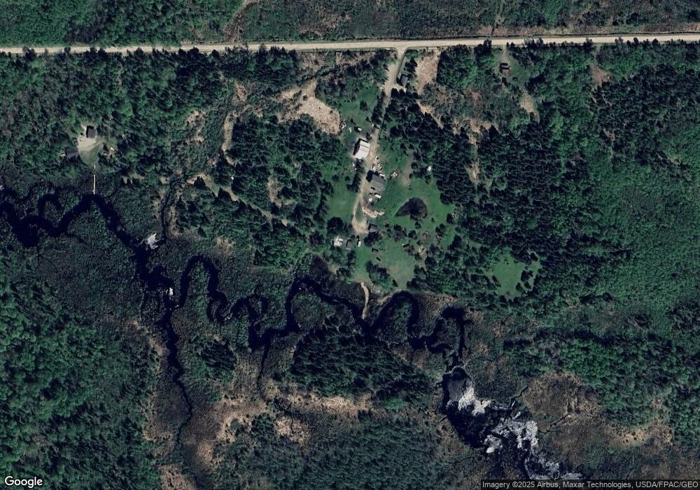
Map
Nearby Homes
- Parcel K TBD Frazer Bay Rd
- Parcel B TBD Frazer Bay Rd
- Parcel A TBD Frazer Bay Rd
- Parcel G Tbd Frazer Bay Rd
- Parcel F Tbd Frazer Bay Rd
- 7331 Frazer Bay Rd
- 7290 W Anderson Isle
- 0 Anderson Isle Unit 149014
- Parcel 8 Tbd Hwy 115
- Parcel 7 Tbd Hwy 115
- Parcel 9 Tbd Hwy 115
- 7228 Mercer Island
- Parcel 10 Tbd Hwy 115
- Parcel 13 Tbd Hwy 115
- Parcel 3 Tbd Hwy 115
- Parcel 2 Tbd Hwy 115
- Parcel 1 Tbd Hwy 115
- 6301 Hunters Pass
- 3300 Breezy Point Rd
- 3382 Breezy Point Rd