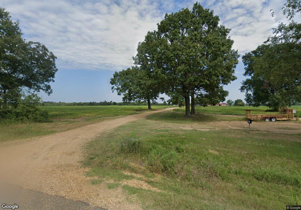
7656 Highway 47 West Point, MS 39773
Estimated Value: $163,000 - $273,596
3
Beds
--
Bath
2,330
Sq Ft
$97/Sq Ft
Est. Value
About This Home
This home is located at 7656 Highway 47, West Point, MS 39773 and is currently estimated at $226,199, approximately $97 per square foot. 7656 Highway 47 is a home located in Clay County with nearby schools including West Clay Elementary School, East Side Elementary School, and Church Hill Elementary School.
Ownership History
Date
Name
Owned For
Owner Type
Purchase Details
Closed on
Aug 1, 2024
Sold by
Brand Martha Jo
Bought by
Roberts Jordan Paul
Current Estimated Value
Purchase Details
Closed on
Dec 15, 2016
Sold by
John Properties Llc
Bought by
Brand Bert Palel
Create a Home Valuation Report for This Property
The Home Valuation Report is an in-depth analysis detailing your home's value as well as a comparison with similar homes in the area
Home Values in the Area
Average Home Value in this Area
Purchase History
| Date | Buyer | Sale Price | Title Company |
|---|---|---|---|
| Roberts Jordan Paul | -- | None Listed On Document | |
| Brand Bert Palel | -- | None Available |
Source: Public Records
Tax History Compared to Growth
Tax History
| Year | Tax Paid | Tax Assessment Tax Assessment Total Assessment is a certain percentage of the fair market value that is determined by local assessors to be the total taxable value of land and additions on the property. | Land | Improvement |
|---|---|---|---|---|
| 2024 | $1,143 | $20,322 | $2,256 | $18,066 |
| 2023 | $461 | $11,559 | $1,855 | $9,704 |
| 2022 | $226 | $11,587 | $1,883 | $9,704 |
| 2021 | $227 | $11,622 | $1,918 | $9,704 |
| 2020 | $230 | $11,657 | $1,953 | $9,704 |
| 2019 | $219 | $11,687 | $1,983 | $9,704 |
| 2018 | $213 | $11,721 | $2,017 | $9,704 |
| 2017 | $221 | $11,877 | $2,173 | $9,704 |
| 2016 | $212 | $11,776 | $2,072 | $9,704 |
| 2015 | $163 | $10,727 | $1,977 | $8,750 |
| 2014 | $197 | $10,644 | $1,894 | $8,750 |
| 2013 | $197 | $10,567 | $1,817 | $8,750 |
Source: Public Records
Map
Nearby Homes
- 0 Mississippi 47
- 0 Bud Thompson Rd
- 1842 Baker Rd
- 0 Firetower Rd Unit 25-1097
- 436 Baker Rd
- Hwy 47 Unit LotWP001
- 0 Bill Dexter Rd Unit LotWP001 24537982
- 0 Bill Dexter Rd
- 3655 Brand-Una Rd
- 97 Ivy Rd
- 0 Mississippi 46
- 10046 Davidson Line Rd
- 206 Dunnigan Rd
- Hwy 46
- 0 Happy Hollow Rd
- 3340 Mississippi 46
- 0 Prairie Mills Rd
- 934 Pine Grove Rd
- 18832 Mississippi 50
- 001 Mississippi 46
- 6639 Todd Elliot Rd
- 7740 Vance Rd
- 10166 Dunn Rd
- 10694 Waide Rd
- 11074 Waide Rd
- 12744 Highway 47
- 12948 Highway 47
- 9531 Perry Rd
- 15765 Highway 47
- 16121 Highway 47
- 15561 Gilreath Rd
- 15511 Gilreath Rd
- 199 Waide Rd
- 94 Webber Rd
- 524 Waide Rd
- 600 Waide Rd
- 26 Perry Rd
- 258 Amos Rd
- 114 Amos Rd
- 10704 Highway 47
