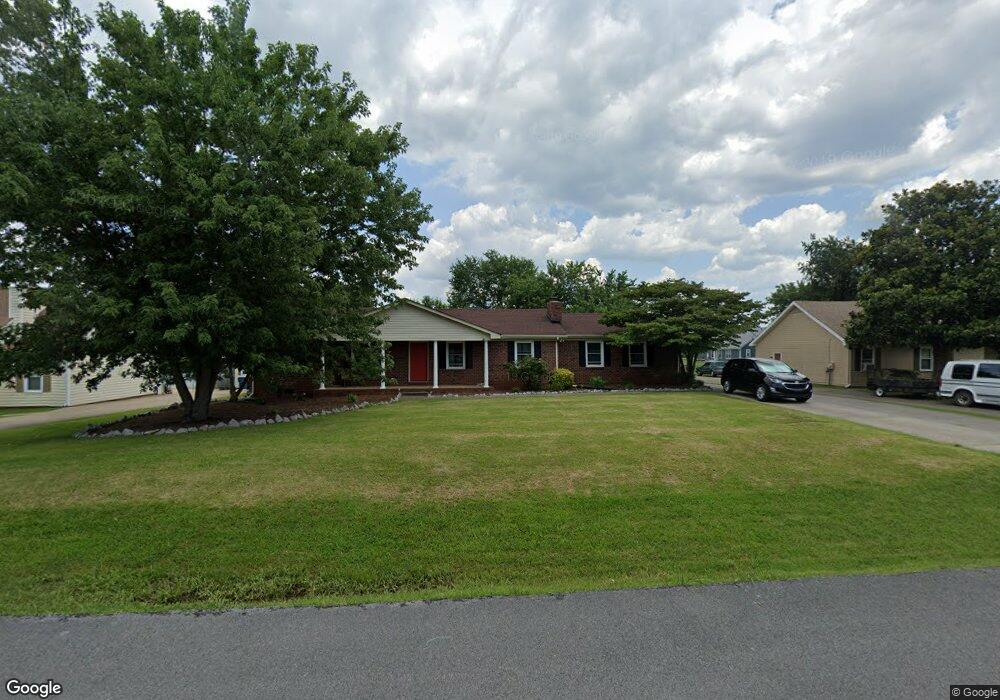
766 Rack Ct Murfreesboro, TN 37129
Estimated Value: $391,000 - $396,228
3
Beds
3
Baths
1,978
Sq Ft
$199/Sq Ft
Est. Value
About This Home
This home is located at 766 Rack Ct, Murfreesboro, TN 37129 and is currently estimated at $393,807, approximately $199 per square foot. 766 Rack Ct is a home located in Rutherford County with nearby schools including Blackman Elementary School, Blackman Middle School, and Blackman High School.
Ownership History
Date
Name
Owned For
Owner Type
Purchase Details
Closed on
Jan 15, 2015
Sold by
Criswell David
Bought by
Mayfield Christopher Sarah
Current Estimated Value
Home Financials for this Owner
Home Financials are based on the most recent Mortgage that was taken out on this home.
Original Mortgage
$156,275
Outstanding Balance
$119,876
Interest Rate
3.88%
Mortgage Type
New Conventional
Estimated Equity
$273,931
Purchase Details
Closed on
May 7, 2014
Sold by
Hud Secretary Of
Bought by
Criswell David
Home Financials for this Owner
Home Financials are based on the most recent Mortgage that was taken out on this home.
Original Mortgage
$90,583
Interest Rate
4.37%
Mortgage Type
New Conventional
Purchase Details
Closed on
Jan 28, 2014
Sold by
Simpkins Karen
Bought by
Hud Secretary Of
Create a Home Valuation Report for This Property
The Home Valuation Report is an in-depth analysis detailing your home's value as well as a comparison with similar homes in the area
Home Values in the Area
Average Home Value in this Area
Purchase History
| Date | Buyer | Sale Price | Title Company |
|---|---|---|---|
| Mayfield Christopher Sarah | $164,500 | -- | |
| Criswell David | $120,777 | -- | |
| Hud Secretary Of | $127,920 | -- |
Source: Public Records
Mortgage History
| Date | Status | Borrower | Loan Amount |
|---|---|---|---|
| Open | Mayfield Christopher Sarah | $156,275 | |
| Previous Owner | Criswell David | $90,583 |
Source: Public Records
Tax History
| Year | Tax Paid | Tax Assessment Tax Assessment Total Assessment is a certain percentage of the fair market value that is determined by local assessors to be the total taxable value of land and additions on the property. | Land | Improvement |
|---|---|---|---|---|
| 2025 | $1,457 | $77,650 | $13,750 | $63,900 |
| 2024 | $1,457 | $77,650 | $13,750 | $63,900 |
| 2023 | $1,457 | $77,650 | $13,750 | $63,900 |
| 2022 | $1,255 | $77,650 | $13,750 | $63,900 |
| 2021 | $1,195 | $53,850 | $9,250 | $44,600 |
| 2020 | $1,195 | $53,850 | $9,250 | $44,600 |
| 2019 | $1,195 | $53,850 | $9,250 | $44,600 |
| 2018 | $1,131 | $53,850 | $0 | $0 |
| 2017 | $964 | $35,975 | $0 | $0 |
| 2016 | $964 | $35,975 | $0 | $0 |
| 2015 | $964 | $35,975 | $0 | $0 |
| 2014 | $895 | $35,975 | $0 | $0 |
| 2013 | -- | $36,775 | $0 | $0 |
Source: Public Records
Map
Nearby Homes
- 689 Doe Dr
- 701 Spike Trail
- 561 Campfire Dr
- 1011 Maricopa Dr
- 1026 Wolves Den Place
- 1007 Maricopa Dr
- 3719 Red Willow Ct
- 1038 Sitting Bull Crossing
- 1022 Sitting Bull Crossing
- 810 Staten Dr
- 1039 Sitting Bull Crossing
- 876 Wolves Den Place
- 452 Campfire Dr
- 3741 Southbend Dr
- 825 Kaylee Cir
- 3939 Cannonsgate Ln
- 2705 Wilkinson Pike Unit 1
- 2705 Wilkinson Pike Unit 19
- 2705 Wilkinson Pike
- 2705 Wilkinson Pike Unit 18
Your Personal Tour Guide
Ask me questions while you tour the home.