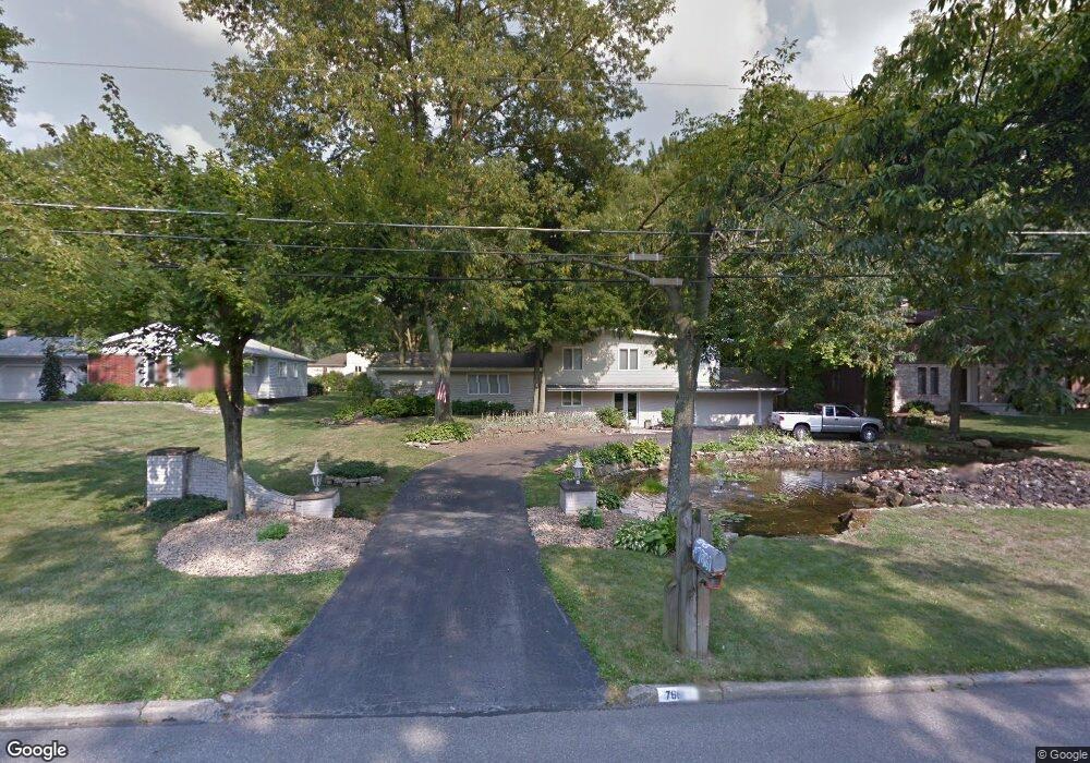
7661 E Parkside Dr Youngstown, OH 44512
Estimated Value: $298,000 - $377,000
5
Beds
2
Baths
3,360
Sq Ft
$102/Sq Ft
Est. Value
About This Home
This home is located at 7661 E Parkside Dr, Youngstown, OH 44512 and is currently estimated at $342,848, approximately $102 per square foot. 7661 E Parkside Dr is a home located in Mahoning County with nearby schools including Stadium Drive Elementary School, Boardman Center Middle School, and Boardman High School.
Ownership History
Date
Name
Owned For
Owner Type
Purchase Details
Closed on
Jan 19, 2006
Sold by
Novak Ronald J and Novak Virginia R
Bought by
Vennetti James R and Vennetti Deborah F
Current Estimated Value
Home Financials for this Owner
Home Financials are based on the most recent Mortgage that was taken out on this home.
Original Mortgage
$16,000
Outstanding Balance
$9,551
Interest Rate
7.75%
Mortgage Type
Fannie Mae Freddie Mac
Estimated Equity
$333,297
Purchase Details
Closed on
Sep 17, 2002
Sold by
Novak Ronald J and Novak Virginia R
Bought by
Novak Ronald J and Novak Virginia R
Purchase Details
Closed on
Nov 3, 1967
Bought by
Novak Ronald J and Novak R
Create a Home Valuation Report for This Property
The Home Valuation Report is an in-depth analysis detailing your home's value as well as a comparison with similar homes in the area
Home Values in the Area
Average Home Value in this Area
Purchase History
| Date | Buyer | Sale Price | Title Company |
|---|---|---|---|
| Vennetti James R | $161,000 | None Available | |
| Novak Ronald J | -- | -- | |
| Novak Ronald J | -- | -- |
Source: Public Records
Mortgage History
| Date | Status | Borrower | Loan Amount |
|---|---|---|---|
| Open | Vennetti James R | $16,000 | |
| Open | Vennetti James R | $128,800 |
Source: Public Records
Tax History
| Year | Tax Paid | Tax Assessment Tax Assessment Total Assessment is a certain percentage of the fair market value that is determined by local assessors to be the total taxable value of land and additions on the property. | Land | Improvement |
|---|---|---|---|---|
| 2025 | $4,153 | $84,240 | $10,150 | $74,090 |
| 2024 | $4,291 | $84,240 | $10,150 | $74,090 |
| 2023 | $4,234 | $84,240 | $10,150 | $74,090 |
| 2022 | $3,504 | $61,890 | $10,150 | $51,740 |
| 2021 | $3,506 | $61,890 | $10,150 | $51,740 |
| 2020 | $4,091 | $61,890 | $10,150 | $51,740 |
| 2019 | $4,187 | $56,340 | $10,150 | $46,190 |
| 2018 | $3,568 | $56,340 | $10,150 | $46,190 |
| 2017 | $3,565 | $56,340 | $10,150 | $46,190 |
| 2016 | $3,415 | $53,440 | $10,150 | $43,290 |
| 2015 | $3,347 | $53,440 | $10,150 | $43,290 |
| 2014 | $3,356 | $53,440 | $10,150 | $43,290 |
| 2013 | $3,314 | $53,440 | $10,150 | $43,290 |
Source: Public Records
Map
Nearby Homes
- 7619 Red Fox Dr
- 7603 Red Fox Dr
- 547 Squirrel Hill Dr
- 2319 Hunters Ridge
- 179 Southwoods Ave
- 1173 Red Tail Hawk Ct Unit 5
- 8068 Deerpath Dr
- 1133 Red Tail Hawk Ct Unit 6
- 7367 Oregon Trail
- 1327 Fox Run Dr
- 1327 Huntington Ct
- 674 Angiline Dr
- 6624 Ronjoy Place
- 8161 Glenwood Ave
- 804 Brookfield Ave
- 6729 Tippecanoe Rd Unit 6
- 7110 Amherst Ave
- 3665 Mercedes Place
- 123 Mayflower Dr
- 6879 Kyle Ridge Pointe
- 7653 E Parkside Dr
- 7669 E Parkside Dr
- 804 Squirrel Hill Dr
- 796 Squirrel Hill Dr
- 796 Squirrel Hill Dr
- 7662 E Parkside Dr
- 788 Squirrel Hill Dr
- 7670 E Parkside Dr
- 820 Squirrel Hill Dr
- 7685 E Parkside Dr
- 7637 E Parkside Dr
- 7678 E Parkside Dr
- 7646 E Parkside Dr
- 828 Squirrel Hill Dr
- 7693 E Parkside Dr
- 7629 E Parkside Dr
- 7686 E Parkside Dr
- 7638 E Parkside Dr
- 805 Squirrel Hill Dr
- 795 Squirrel Hill Dr
Your Personal Tour Guide
Ask me questions while you tour the home.