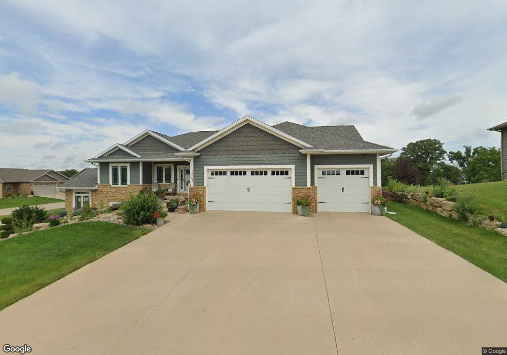
7663 Kaia Dr Peosta, IA 52068
Estimated Value: $504,503 - $571,000
3
Beds
3
Baths
2,780
Sq Ft
$193/Sq Ft
Est. Value
About This Home
This home is located at 7663 Kaia Dr, Peosta, IA 52068 and is currently estimated at $535,876, approximately $192 per square foot. 7663 Kaia Dr is a home located in Dubuque County with nearby schools including Peosta Elementary School, Drexler Middle - Intermediate School, and Western Dubuque High School.
Ownership History
Date
Name
Owned For
Owner Type
Purchase Details
Closed on
Jul 28, 2016
Sold by
S Stackis Construction Inc
Bought by
Hickie John T and Hickie Heather A
Current Estimated Value
Purchase Details
Closed on
Aug 17, 2015
Sold by
Royal Oaks Development Corp
Bought by
S Stackis Construction Inc
Create a Home Valuation Report for This Property
The Home Valuation Report is an in-depth analysis detailing your home's value as well as a comparison with similar homes in the area
Home Values in the Area
Average Home Value in this Area
Purchase History
| Date | Buyer | Sale Price | Title Company |
|---|---|---|---|
| Hickie John T | -- | None Available | |
| S Stackis Construction Inc | $42,000 | None Available |
Source: Public Records
Mortgage History
| Date | Status | Borrower | Loan Amount |
|---|---|---|---|
| Open | Hickie John T | $452,700 | |
| Closed | Hickie John T | $25,150 | |
| Closed | Hickie Heather A | $137,500 | |
| Closed | Hickie Heather A | $308,800 | |
| Closed | Hickie Heather T | $77,200 | |
| Previous Owner | S Stackis Construction Inc | $310,000 |
Source: Public Records
Tax History Compared to Growth
Tax History
| Year | Tax Paid | Tax Assessment Tax Assessment Total Assessment is a certain percentage of the fair market value that is determined by local assessors to be the total taxable value of land and additions on the property. | Land | Improvement |
|---|---|---|---|---|
| 2025 | $5,908 | $506,500 | $82,800 | $423,700 |
| 2024 | $5,908 | $454,000 | $82,800 | $371,200 |
| 2023 | $5,692 | $454,000 | $82,800 | $371,200 |
| 2022 | $5,280 | $378,610 | $82,810 | $295,800 |
| 2021 | $5,280 | $378,610 | $82,810 | $295,800 |
| 2020 | $5,048 | $349,460 | $76,440 | $273,020 |
| 2019 | $4,750 | $349,460 | $76,440 | $273,020 |
| 2018 | $4,656 | $314,270 | $47,260 | $267,010 |
| 2017 | $64 | $314,270 | $47,260 | $267,010 |
| 2016 | $62 | $4,000 | $4,000 | $0 |
| 2015 | $62 | $4,000 | $4,000 | $0 |
| 2014 | $66 | $4,000 | $4,000 | $0 |
Source: Public Records
Map
Nearby Homes
- 7630 Kaia Dr
- 419 Angela Jean Cir
- 348 Solomia Ct
- 310 Solomia Ct
- 326 Solomia Ct
- 175 Bryn Dr
- 277 Wyatt Dr
- Lot 148 Gavin Cir
- lot 23 Thunder Valley Dr
- Lot 2 Thunder Valley Dr
- Lot 22 Thunder Valley Dr
- Lot 145 Gavin Cir
- Lot 146 Gavin Cir
- Lot 60 Hugo Dr
- Lot 64 Hugo Dr
- 9391 Cashel Dr E
- 8165 Hugo Dr
- 8202 Hugo Dr
- 8122 Hugo Dr
- 8166 Tegan Dr
- 7663 Kaia Dr Unit Kelly Oaks
- 7647 Kaia Dr Unit Kelly Oaks Subdivisi
- 7662 Kaia Dr
- 662 Mila Dr
- 643 Mila Dr
- 627 Mila Dr
- 7648 Kaia Dr Unit Kelly Oaks Estates
- 667 Mila Dr
- 7631 Kaia Dr
- 615 Mila Dr
- 686 Mila Dr
- 683 Mila Dr Unit Kelly Oaks Subdivisi
- 634 Walnut Ridge St
- 595 Mila Dr
- 662 Walnut Ridge St
- 628 Walnut Ridge St
- 7605 Kaia Dr
- 704 Mila Dr
- 665 Amara Ct
- 602 Walnut Ridge St