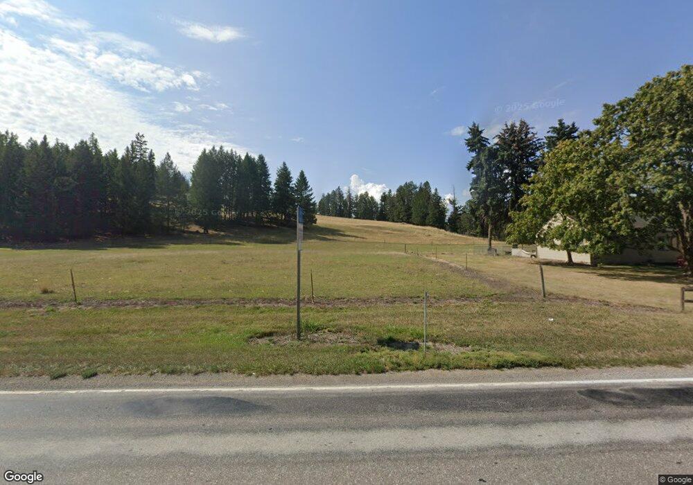
7664 Mt Highway 35 Bigfork, MT 59911
Estimated Value: $986,000 - $1,375,579
2
Beds
3
Baths
2,080
Sq Ft
$546/Sq Ft
Est. Value
About This Home
This home is located at 7664 Mt Highway 35, Bigfork, MT 59911 and is currently estimated at $1,135,645, approximately $545 per square foot. 7664 Mt Highway 35 is a home located in Flathead County with nearby schools including Bigfork Elementary School, Bigfork Middle School, and Bigfork High School.
Ownership History
Date
Name
Owned For
Owner Type
Purchase Details
Closed on
Nov 13, 2019
Sold by
Pierce Carol J and Pierce Ronald K
Bought by
Bigfork County Water & Sewer District
Current Estimated Value
Purchase Details
Closed on
Oct 3, 2006
Sold by
Pierce Ronald K and Pierce Carol J
Bought by
Bigfork County Water & Sewer District
Purchase Details
Closed on
Apr 28, 2005
Sold by
Pierce Carol J
Bought by
Bear Hollow Properties Llc
Create a Home Valuation Report for This Property
The Home Valuation Report is an in-depth analysis detailing your home's value as well as a comparison with similar homes in the area
Home Values in the Area
Average Home Value in this Area
Purchase History
| Date | Buyer | Sale Price | Title Company |
|---|---|---|---|
| Bigfork County Water & Sewer District | $44,950 | None Available | |
| Bigfork County Water & Sewer District | -- | Flathead County Title Compan | |
| Bear Hollow Properties Llc | -- | Bigfork Title Services Inc |
Source: Public Records
Tax History Compared to Growth
Tax History
| Year | Tax Paid | Tax Assessment Tax Assessment Total Assessment is a certain percentage of the fair market value that is determined by local assessors to be the total taxable value of land and additions on the property. | Land | Improvement |
|---|---|---|---|---|
| 2025 | $4,076 | $1,043,010 | $0 | $0 |
| 2024 | $4,455 | $834,966 | $0 | $0 |
| 2023 | $4,669 | $834,966 | $0 | $0 |
| 2022 | $4,823 | $628,198 | $0 | $0 |
| 2021 | $4,662 | $628,198 | $0 | $0 |
| 2020 | $4,768 | $584,940 | $0 | $0 |
| 2019 | $4,592 | $589,342 | $0 | $0 |
| 2018 | $4,402 | $537,291 | $0 | $0 |
| 2017 | $4,304 | $537,291 | $0 | $0 |
| 2016 | $3,888 | $487,355 | $0 | $0 |
| 2015 | $3,493 | $487,355 | $0 | $0 |
| 2014 | $2,819 | $280,245 | $0 | $0 |
Source: Public Records
Map
Nearby Homes
- 37 Red Tail Ridge
- 29 Bearpaw Loop
- 34 Grizzly Ct
- 138 Jewel Basin Ct
- 344 Chapman Ln
- 351 Chapman Ln
- 1358 Ponderosa Ridge Dr
- 324 Chapman Ln
- 149 Timothy Hay Way
- 394 Windsor Ct
- 7945 Mt Highway 35
- 104 Levi Ct
- 196 Pine Needle Ln
- 200 Sportsman Ln
- 109 Levi Ct
- 130 Shawnee Dr
- 32 Peaceful Ct
- 262 Lake Hills Dr
- 109 Colter Loop
- 324 Lake Hills Dr
- 7645 Mt Highway 35
- 7658 Montana Highway 35
- 7658 Mt Highway 35
- 7645 Mt-35
- 11 Bearpaw Loop
- 236 Jewel Basin Ct
- 53 Redtail Ridge
- 7595 Mt Highway 35
- 7595 Mt Highway 35
- 237 Jewel Basin Ct
- 237 Jewel Basin Ct Unit 4
- 237 Jewel Basin Ct Unit 3
- 237 Jewel Basin Ct Unit 2-5
- 21 Bearpaw Loop Unit Bear Hollow
- 7595 Montana Highway 35
- 37 Redtail Ridge
- 58 Red Tail Ridge
- 78 Redtail Ridge
- 218 Jewel Basin Ct