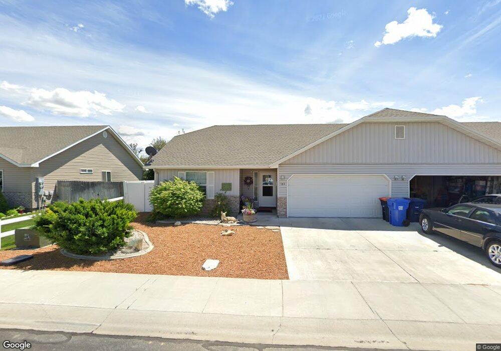
767 Alyssa Ave Twin Falls, ID 83301
Estimated Value: $511,000 - $627,000
6
Beds
4
Baths
2,638
Sq Ft
$207/Sq Ft
Est. Value
About This Home
This home is located at 767 Alyssa Ave, Twin Falls, ID 83301 and is currently estimated at $545,072, approximately $206 per square foot. 767 Alyssa Ave is a home located in Twin Falls County with nearby schools including I.B. Perrine Elementary School, Robert Stuart Junior High School, and Canyon Ridge High School.
Ownership History
Date
Name
Owned For
Owner Type
Purchase Details
Closed on
Dec 13, 2021
Sold by
Pettingill Kerry L and Estate Of Elaine Pettingill
Bought by
Jtj Investments Llc
Current Estimated Value
Purchase Details
Closed on
Nov 21, 2007
Sold by
Wolverton Development And Construction I
Bought by
Robinson Shelly
Home Financials for this Owner
Home Financials are based on the most recent Mortgage that was taken out on this home.
Original Mortgage
$25,000
Interest Rate
6.38%
Mortgage Type
Future Advance Clause Open End Mortgage
Purchase Details
Closed on
Aug 31, 2006
Sold by
Pettingill Elaine S
Bought by
Pettingill Lynn B and Pettingill Elaine S
Create a Home Valuation Report for This Property
The Home Valuation Report is an in-depth analysis detailing your home's value as well as a comparison with similar homes in the area
Home Values in the Area
Average Home Value in this Area
Purchase History
| Date | Buyer | Sale Price | Title Company |
|---|---|---|---|
| Jtj Investments Llc | -- | Titlefact Inc | |
| Robinson Shelly | -- | Twin Falls Title | |
| Pettingill Lynn B | -- | -- |
Source: Public Records
Mortgage History
| Date | Status | Borrower | Loan Amount |
|---|---|---|---|
| Previous Owner | Robinson Shelly | $25,000 |
Source: Public Records
Tax History Compared to Growth
Tax History
| Year | Tax Paid | Tax Assessment Tax Assessment Total Assessment is a certain percentage of the fair market value that is determined by local assessors to be the total taxable value of land and additions on the property. | Land | Improvement |
|---|---|---|---|---|
| 2025 | $4,619 | $430,265 | $77,078 | $353,187 |
| 2024 | $4,668 | $434,684 | $77,078 | $357,606 |
| 2023 | $4,777 | $456,752 | $77,078 | $379,674 |
| 2022 | $5,338 | $466,206 | $66,987 | $399,219 |
| 2021 | $5,367 | $356,469 | $61,608 | $294,861 |
| 2020 | $4,642 | $304,279 | $56,918 | $247,361 |
| 2019 | $4,878 | $273,017 | $41,330 | $231,687 |
| 2018 | $5,037 | $266,650 | $30,571 | $236,079 |
| 2017 | $4,544 | $242,386 | $30,571 | $211,815 |
| 2016 | $4,145 | $206,791 | $0 | $0 |
| 2015 | $4,029 | $206,593 | $0 | $0 |
| 2012 | -- | $189,240 | $0 | $0 |
Source: Public Records
Map
Nearby Homes
- 895 Robbins Ave
- 431 Bracken St N
- 1016 Arrow Wood Ct
- 784 Twilight Loop
- 874 Eastwind Dr
- 957 Birchton Loop
- 791 Twilight Loop
- 941 Birchton Loop
- 1011 Filer Ave W
- 973 Kenbrook Loop
- 946 Kenbrook Loop
- 1069 Filer Ave W
- 509-523 Rose St N
- 489 Borah Ave W
- 575 Sparks St N
- 958 Bracken St N
- 916 Kenbrook Loop
- 905 Birchton Loop
- 371 Dubois Ave
- 1171 Glen Brook Rd