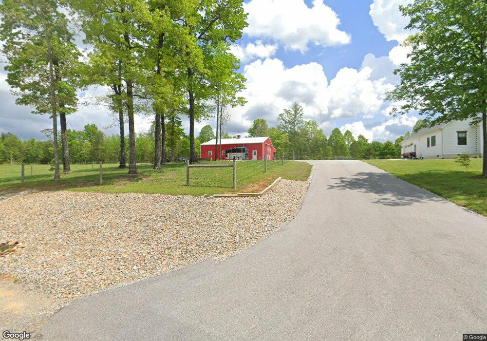
767 Bluebird Ridge Rd Jamestown, TN 38556
Estimated Value: $587,000 - $633,000
--
Bed
--
Bath
2,067
Sq Ft
$298/Sq Ft
Est. Value
About This Home
This home is located at 767 Bluebird Ridge Rd, Jamestown, TN 38556 and is currently estimated at $616,336, approximately $298 per square foot. 767 Bluebird Ridge Rd is a home.
Ownership History
Date
Name
Owned For
Owner Type
Purchase Details
Closed on
Jan 19, 2021
Sold by
Buttrey Philip D
Bought by
Broughton Jeffrey and Broughton Regina
Current Estimated Value
Home Financials for this Owner
Home Financials are based on the most recent Mortgage that was taken out on this home.
Original Mortgage
$429,250
Outstanding Balance
$382,229
Interest Rate
2.71%
Mortgage Type
Construction
Estimated Equity
$234,107
Purchase Details
Closed on
Jun 19, 2020
Sold by
Livingston Robert H and Livingston Breneda H
Bought by
Buttrey Philip D
Create a Home Valuation Report for This Property
The Home Valuation Report is an in-depth analysis detailing your home's value as well as a comparison with similar homes in the area
Home Values in the Area
Average Home Value in this Area
Purchase History
| Date | Buyer | Sale Price | Title Company |
|---|---|---|---|
| Broughton Jeffrey | $100,000 | Upper Cumberland T&E Llc | |
| Buttrey Philip D | $43,500 | None Available |
Source: Public Records
Mortgage History
| Date | Status | Borrower | Loan Amount |
|---|---|---|---|
| Open | Broughton Jeffrey | $429,250 |
Source: Public Records
Tax History Compared to Growth
Tax History
| Year | Tax Paid | Tax Assessment Tax Assessment Total Assessment is a certain percentage of the fair market value that is determined by local assessors to be the total taxable value of land and additions on the property. | Land | Improvement |
|---|---|---|---|---|
| 2025 | $2,258 | $167,250 | $0 | $0 |
| 2024 | $2,258 | $167,250 | $14,225 | $153,025 |
| 2023 | $1,590 | $167,250 | $14,225 | $153,025 |
| 2022 | $1,590 | $83,250 | $14,225 | $69,025 |
| 2021 | $197 | $14,225 | $14,225 | $0 |
| 2020 | $146 | $10,300 | $10,300 | $0 |
| 2019 | $146 | $7,625 | $7,625 | $0 |
| 2018 | $146 | $7,625 | $7,625 | $0 |
Source: Public Records
Map
Nearby Homes
- 813 Bluebird Ridge Rd
- 740 Rockview Rd
- 760 Rockview Rd
- 499 Stockton Chapel Rd
- 00 Ridge Top Dr
- 526 Ridge Crest Rd
- 540 Buck Ridge Rd
- 182 Stockton Chapel Rd
- 1240 Louvaine Rd
- 1185 Spruce Creek Dr
- 106 Raccoon Ln
- 535 Joe Barnett Rd
- 265 Maggie Valley
- 0 4 49 Acres Spruce Creek Dr
- 355 Joe Barnett Rd
- 205 Maggie Valley Dr
- 811 Steeplechase Dr
- 424 Wilderness Ln
- 0 Steeplechase Dr Unit 1319737
- 0 Steeplechase Dr Unit 1319736
- 637 Crestwood Dr
- 621 Crestwood Dr
- 0 Crestwood Dr Rocky Ridge Dr Unit 1029471
- 0 Crestwood Dr Rocky Ridge Dr Unit 1070258
- 0 Crestwood Dr Rocky Ridge Dr Unit 1109246
- 105 Rocky Ridge Dr
- 671 Crestwood Dr
- 699 Crestwood Dr
- N/A Rocky Ridge Dr
- 0 Rocky Ridge Dr
- 735 Bluebird Ridge Rd
- 594 Crestwood Dr
- 136 Rocky Ridge Dr
- n/a Bluebird Ridge Rd
- n/a Bluebird Ridge Rd
- 0 Bluebird Ridge Rd
- 703 Bluebird Ridge Rd
- 0 Bluebird Ridge Road Rd Unit 1029483
- 0 Bluebird Ridge Road Rd Unit 1070260
- 0 Bluebird Ridge Road Rd Unit 1070259