767 Lay Hollow Rd Sharps Chapel, TN 37866
Sharps Chapel NeighborhoodEstimated Value: $102,924 - $207,000
--
Bed
--
Bath
696
Sq Ft
$224/Sq Ft
Est. Value
About This Home
This home is located at 767 Lay Hollow Rd, Sharps Chapel, TN 37866 and is currently estimated at $155,731, approximately $223 per square foot. 767 Lay Hollow Rd is a home with nearby schools including Sharps Chapel Elementary School, H Maynard Middle School, and Union County High School.
Ownership History
Date
Name
Owned For
Owner Type
Purchase Details
Closed on
Aug 24, 1992
Bought by
Bryant Bregory A
Current Estimated Value
Purchase Details
Closed on
Oct 10, 1990
Bought by
Bryant Mildred C Trustee
Purchase Details
Closed on
Dec 28, 1989
Bought by
Bryant Mildred C
Purchase Details
Closed on
Aug 4, 1981
Bought by
Bryant Harold G
Purchase Details
Closed on
Jan 2, 1900
Create a Home Valuation Report for This Property
The Home Valuation Report is an in-depth analysis detailing your home's value as well as a comparison with similar homes in the area
Home Values in the Area
Average Home Value in this Area
Purchase History
| Date | Buyer | Sale Price | Title Company |
|---|---|---|---|
| Bryant Bregory A | -- | -- | |
| Bryant Bregory A | -- | -- | |
| Bryant Mildred C Trustee | -- | -- | |
| Bryant Mildred C Trustee | -- | -- | |
| Bryant Mildred C | -- | -- | |
| Bryant Mildred C | -- | -- | |
| Bryant Harold G | -- | -- | |
| Bryant Harold G | -- | -- | |
| -- | -- | -- | |
| -- | -- | -- |
Source: Public Records
Tax History Compared to Growth
Tax History
| Year | Tax Paid | Tax Assessment Tax Assessment Total Assessment is a certain percentage of the fair market value that is determined by local assessors to be the total taxable value of land and additions on the property. | Land | Improvement |
|---|---|---|---|---|
| 2024 | $314 | $16,550 | $7,325 | $9,225 |
| 2023 | $314 | $16,550 | $7,325 | $9,225 |
| 2022 | $263 | $16,550 | $7,325 | $9,225 |
| 2021 | $235 | $11,000 | $5,025 | $5,975 |
| 2020 | $235 | $11,000 | $5,025 | $5,975 |
| 2019 | $235 | $11,000 | $5,025 | $5,975 |
| 2018 | $235 | $11,000 | $5,025 | $5,975 |
| 2017 | $235 | $11,000 | $5,025 | $5,975 |
| 2016 | $245 | $11,300 | $6,725 | $4,575 |
| 2015 | $245 | $11,300 | $6,725 | $4,575 |
| 2014 | $202 | $11,307 | $0 | $0 |
Source: Public Records
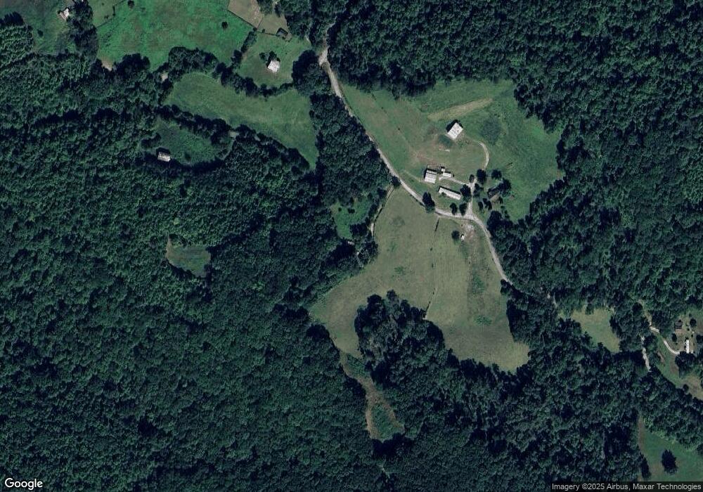
Map
Nearby Homes
- 129 Sourwood Ln
- 379 Walker Rd
- 689 Johnson Hollow Rd
- 6 Walker Rd
- 7 Walker Rd
- Lot #7 Walker Rd
- Lot #6 Walker Rd
- Tract 1 Off Sharps Chapel Rd
- 0 Mountain Way Unit 1286227
- 0 Mountain Way Unit 1260365
- TBD Walker Road Rd
- 1217 Sharps Chapel Rd
- 0 Waterfront Knoll Unit 1313241
- 0 Waterfront Knoll Unit 1311899
- 0 Waterfront Knoll Unit 1304154
- 127 Waterfront Knoll
- 0 Waterfront Knoll Unit 1301634
- 378 Johnson Hollow Rd
- 0 Waterfront Knl Lot #5 Unit 1269332
- Water Waterfront
- 752 Lay Hollow Rd
- 469 Ridge Rd
- 712 Lay Hollow Rd
- 479 Ridge Rd
- 486 Grizzell Ridge Rd
- 632 Lay Hollow Rd
- 737 Brewer Hollow Rd
- 1245 Leadmine Bend Rd
- 319 Ridge Rd
- 606 Lay Hollow Rd
- 155 Maples Cir
- 815 Brewer Hollow Rd
- 200 Mountain Way
- 430 Grizzell Ridge Rd
- Lot 17A Old Lead Mine Bend Rd Unit Lot 17A
- 495 Grizzell Ridge Rd
- 402 Grizzell Ridge Rd
- 1003 Leadmine Bend Rd
- 245 Ridge Rd
- 511 Grizzell Ridge Rd