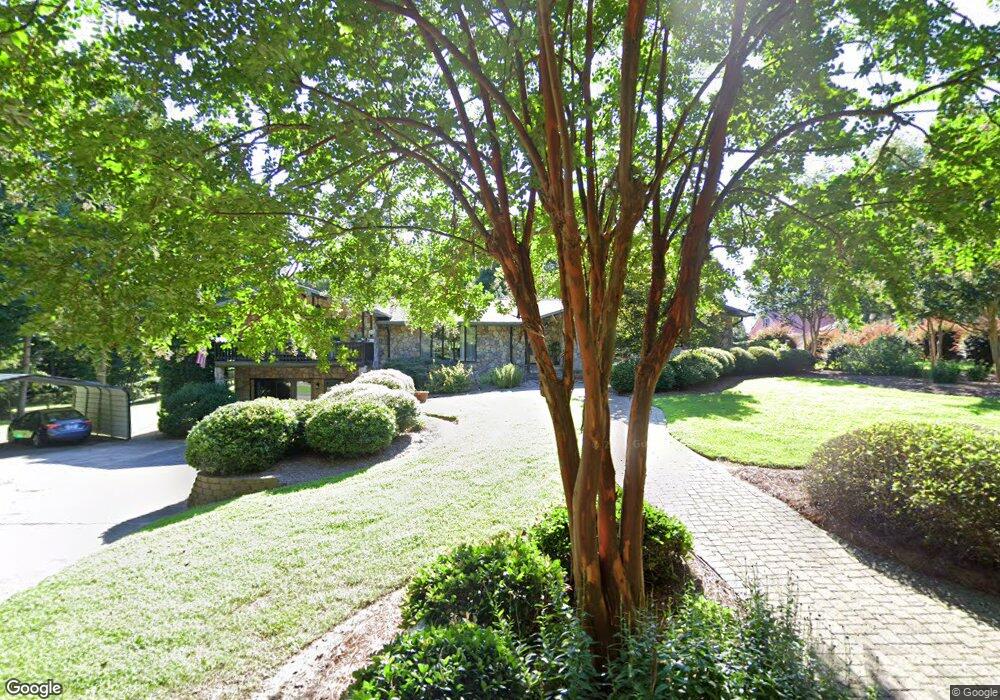
767 Shea St Concord, NC 28025
Estimated Value: $601,000 - $643,000
4
Beds
3
Baths
2,818
Sq Ft
$219/Sq Ft
Est. Value
About This Home
This home is located at 767 Shea St, Concord, NC 28025 and is currently estimated at $617,654, approximately $219 per square foot. 767 Shea St is a home located in Cabarrus County with nearby schools including W.M. Irvin Elementary School, Concord Middle School, and Concord High School.
Ownership History
Date
Name
Owned For
Owner Type
Purchase Details
Closed on
Sep 9, 2025
Sold by
Whitaker Pauline Clark and Kilpatrick Debra Whitaker
Bought by
Kilpatrick Debra Whitaker and Kilpatrick Phillip M
Current Estimated Value
Home Financials for this Owner
Home Financials are based on the most recent Mortgage that was taken out on this home.
Original Mortgage
$225,000
Outstanding Balance
$225,000
Interest Rate
6.72%
Mortgage Type
New Conventional
Estimated Equity
$392,654
Purchase Details
Closed on
Dec 29, 2004
Sold by
Armentrout Carolyn Thomas
Bought by
Whitaker Howard M and Whitaker Pauline
Home Financials for this Owner
Home Financials are based on the most recent Mortgage that was taken out on this home.
Original Mortgage
$135,000
Interest Rate
5.66%
Mortgage Type
Credit Line Revolving
Purchase Details
Closed on
Jul 1, 1994
Purchase Details
Closed on
Oct 1, 1990
Purchase Details
Closed on
Aug 1, 1984
Create a Home Valuation Report for This Property
The Home Valuation Report is an in-depth analysis detailing your home's value as well as a comparison with similar homes in the area
Home Values in the Area
Average Home Value in this Area
Purchase History
| Date | Buyer | Sale Price | Title Company |
|---|---|---|---|
| Kilpatrick Debra Whitaker | -- | None Listed On Document | |
| Whitaker Howard M | $260,000 | -- | |
| -- | $142,000 | -- | |
| -- | $154,500 | -- | |
| -- | $111,000 | -- |
Source: Public Records
Mortgage History
| Date | Status | Borrower | Loan Amount |
|---|---|---|---|
| Open | Kilpatrick Debra Whitaker | $225,000 | |
| Previous Owner | Whitaker Howard M | $135,000 |
Source: Public Records
Tax History Compared to Growth
Tax History
| Year | Tax Paid | Tax Assessment Tax Assessment Total Assessment is a certain percentage of the fair market value that is determined by local assessors to be the total taxable value of land and additions on the property. | Land | Improvement |
|---|---|---|---|---|
| 2025 | $3,764 | $573,710 | $68,000 | $505,710 |
| 2024 | $3,764 | $573,710 | $68,000 | $505,710 |
| 2023 | $2,945 | $359,110 | $50,000 | $309,110 |
| 2022 | $2,945 | $359,110 | $50,000 | $309,110 |
| 2021 | $2,945 | $359,110 | $50,000 | $309,110 |
| 2020 | $2,873 | $359,110 | $50,000 | $309,110 |
| 2019 | $2,079 | $259,860 | $40,000 | $219,860 |
| 2018 | $2,027 | $259,860 | $40,000 | $219,860 |
| 2017 | $1,975 | $259,860 | $40,000 | $219,860 |
| 2016 | $1,975 | $268,770 | $36,000 | $232,770 |
| 2015 | $2,043 | $268,770 | $36,000 | $232,770 |
| 2014 | $2,043 | $268,770 | $36,000 | $232,770 |
Source: Public Records
Map
Nearby Homes
- 1051 Michael Ave
- 515 Neisler Rd
- Lot 1 Patience Dr
- TBD Colton Place
- 373 Patience Dr
- Bennett Plan at Cordera
- Oxford Plan at Cordera
- Greenwood Plan at Cordera
- Paxton Plan at Cordera
- Hartford Plan at Cordera
- Belmont Plan at Cordera
- Grayson Plan at Cordera
- 685 Knollcrest Dr NE
- 396 Cameron Ave NE
- 315 Crestside Dr SE
- 274 Hatley Cir NE
- 347 Valley Brook Ln SE Unit 39
- 247 Cabarrus Ave E
- 233 Jefferson Ave NE
- 128 Wilson St NE
- 1108 Braughton Ave
- 774 Octavia St
- 759 Shea St
- 762 Octavia St
- 1116 Braughton Ave
- 1100 Braughton Ave
- 1125 Templeton Ave
- 1081 Templeton Ave
- 1107 Braughton Ave
- 1220 Brafford Dr
- 1230 Brafford Dr
- 1115 Braughton Ave
- 754 Shea St
- 1210 Brafford Dr
- 1061 Templeton Ave
- 1024 Braughton Ave
- 1101 Braughton Ave
- 1200 Brafford Dr
- 710 Sherwin Ln
- 1100 Templeton Ave