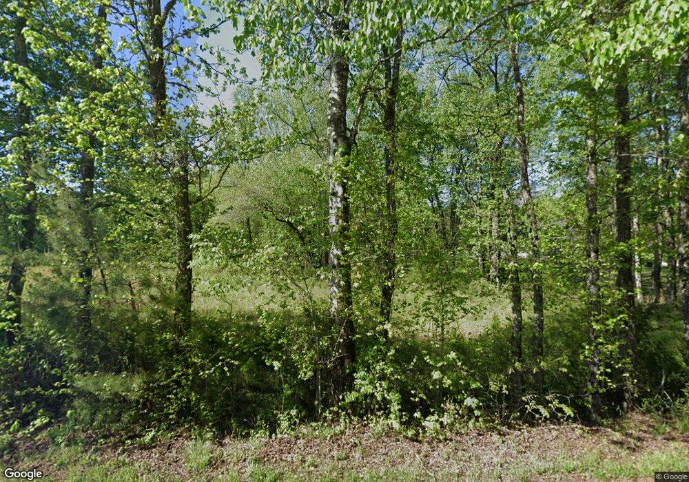
767 Table Rock Rd Cleveland, SC 29635
Slater-Marietta NeighborhoodEstimated Value: $217,556 - $420,000
2
Beds
2
Baths
1,066
Sq Ft
$313/Sq Ft
Est. Value
About This Home
This home is located at 767 Table Rock Rd, Cleveland, SC 29635 and is currently estimated at $334,139, approximately $313 per square foot. 767 Table Rock Rd is a home located in Greenville County with nearby schools including Slater Marietta Elementary School, Northwest Middle School, and Travelers Rest High School.
Ownership History
Date
Name
Owned For
Owner Type
Purchase Details
Closed on
Mar 12, 2012
Sold by
Fleming Deborah Case
Bought by
Lindsey Deborah D
Current Estimated Value
Home Financials for this Owner
Home Financials are based on the most recent Mortgage that was taken out on this home.
Original Mortgage
$120,000
Outstanding Balance
$82,549
Interest Rate
3.9%
Mortgage Type
New Conventional
Estimated Equity
$251,590
Purchase Details
Closed on
Jan 9, 2006
Sold by
Case Dorothy Ray Ledford
Bought by
Fleming Deborah Case
Home Financials for this Owner
Home Financials are based on the most recent Mortgage that was taken out on this home.
Original Mortgage
$70,000
Interest Rate
5.84%
Mortgage Type
New Conventional
Purchase Details
Closed on
Sep 19, 2003
Sold by
Case Dorothy Ray Ledford
Bought by
Case Dorothy Ray Ledford
Create a Home Valuation Report for This Property
The Home Valuation Report is an in-depth analysis detailing your home's value as well as a comparison with similar homes in the area
Home Values in the Area
Average Home Value in this Area
Purchase History
| Date | Buyer | Sale Price | Title Company |
|---|---|---|---|
| Lindsey Deborah D | -- | -- | |
| Fleming Deborah Case | $20,000 | -- | |
| Case Dorothy Ray Ledford | -- | -- |
Source: Public Records
Mortgage History
| Date | Status | Borrower | Loan Amount |
|---|---|---|---|
| Open | Lindsey Deborah D | $120,000 | |
| Previous Owner | Case Dorothy Ray Ledford | $70,000 |
Source: Public Records
Tax History Compared to Growth
Tax History
| Year | Tax Paid | Tax Assessment Tax Assessment Total Assessment is a certain percentage of the fair market value that is determined by local assessors to be the total taxable value of land and additions on the property. | Land | Improvement |
|---|---|---|---|---|
| 2024 | $493 | $3,210 | $580 | $2,630 |
| 2023 | $493 | $3,210 | $580 | $2,630 |
| 2022 | $479 | $3,210 | $580 | $2,630 |
| 2021 | $481 | $3,210 | $580 | $2,630 |
| 2020 | $456 | $2,790 | $510 | $2,280 |
| 2019 | $459 | $2,790 | $510 | $2,280 |
| 2018 | $458 | $2,790 | $510 | $2,280 |
| 2017 | $458 | $2,790 | $510 | $2,280 |
| 2016 | $430 | $69,700 | $12,630 | $57,070 |
| 2015 | $433 | $69,700 | $12,630 | $57,070 |
| 2014 | $379 | $60,624 | $10,992 | $49,632 |
Source: Public Records
Map
Nearby Homes
- 15 Matthews Creek Ln
- 106 Matthews Creek Ln
- 11 Matthews Creek Ln
- 16 Pipe Line Ln
- 0 Ledge Rd
- 00 Table Rock Rd
- 242 Hagood Rd
- 00 Emerald Crest Ln
- 198 Dry Lake Rd
- 102 Lakemont Rd
- 217 Rockcrest Ridge
- 00 Rockcrest Ridge
- 102 Rockcrest Rd
- 8 Woods Pond Crt Woods Pond Ct
- 8 Woods Pond Cr Woods Pond Ct
- 00 Red Bird Hill Ln
- 326 Caesars Head Hwy
- 116 Dorothy Ln
- 0 Hwy
- 8255 Geer Hwy
- 00 Sky Ranche Rd
- 771 Table Rock Rd
- 754 Table Rock Rd
- 5 Sky Ranche Rd
- 5 Sky Ranche Rd
- 5 Sky Ranche Rd
- 5 Sky Ranche Rd
- 814 Table Rock Rd
- 16 River Rock Ct
- 18 River Rock Ct
- 12 River Rock Ct
- 12 River Rock Ct Unit lot 44 Matthews Cree
- 25 Sky Ranche Rd
- 10 River Rock Ct
- 0 Sky Ranche Rd Unit 1464334
- 0 Sky Ranche Rd Unit 1464332
- 841 Table Rock Rd
- 744 Table Rock Rd
- Lot 51 Table Rock Rd
- 46 Table Rock Rd
