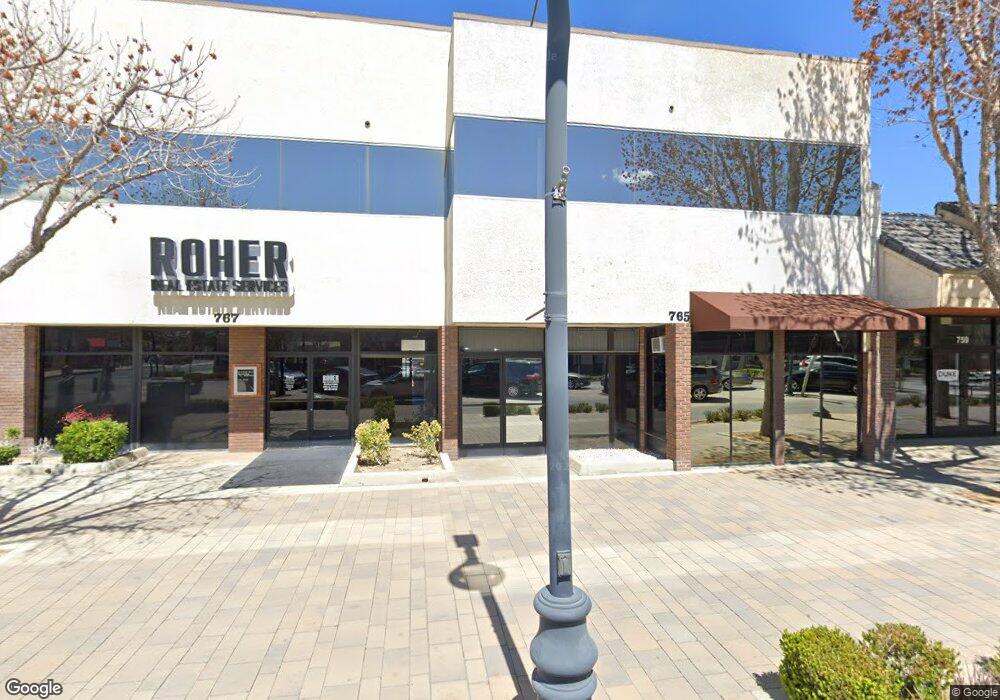
767 W Lancaster Blvd Unit 2 Lancaster, CA 93534
Central Lancaster NeighborhoodEstimated Value: $1,162,327
Studio
--
Bath
7,433
Sq Ft
$156/Sq Ft
Est. Value
About This Home
This home is located at 767 W Lancaster Blvd Unit 2, Lancaster, CA 93534 and is currently estimated at $1,162,327, approximately $156 per square foot. 767 W Lancaster Blvd Unit 2 is a home located in Los Angeles County with nearby schools including Monte Vista Elementary School, Amargosa Creek Middle School, and Antelope Valley High School.
Ownership History
Date
Name
Owned For
Owner Type
Purchase Details
Closed on
Oct 14, 2024
Sold by
Roher Glenn H
Bought by
Cmac At 767 Llc
Current Estimated Value
Home Financials for this Owner
Home Financials are based on the most recent Mortgage that was taken out on this home.
Original Mortgage
$419,500
Outstanding Balance
$414,963
Interest Rate
6.2%
Mortgage Type
Seller Take Back
Estimated Equity
$747,364
Purchase Details
Closed on
Sep 20, 2024
Sold by
Frank G And Nikki D Michelizzi Family Tr and Janet Ward Revocable Trust
Bought by
Roher Glenn H
Home Financials for this Owner
Home Financials are based on the most recent Mortgage that was taken out on this home.
Original Mortgage
$419,500
Outstanding Balance
$414,963
Interest Rate
6.2%
Mortgage Type
Seller Take Back
Estimated Equity
$747,364
Purchase Details
Closed on
Nov 28, 2000
Sold by
Wood Patrick D
Bought by
Michelizzi Frank G and Michelizzi Nikki D
Purchase Details
Closed on
Jul 21, 1999
Sold by
Ward Thomas J
Bought by
Ward Thomas J and Ward Janet M
Purchase Details
Closed on
Apr 14, 1998
Sold by
Bateman Russell
Bought by
Bateman Sandra
Home Financials for this Owner
Home Financials are based on the most recent Mortgage that was taken out on this home.
Original Mortgage
$356,250
Interest Rate
7.07%
Mortgage Type
Commercial
Purchase Details
Closed on
Apr 11, 1998
Sold by
Bateman Sandra
Bought by
Wood Patrick D and Wood Rebecca J
Home Financials for this Owner
Home Financials are based on the most recent Mortgage that was taken out on this home.
Original Mortgage
$356,250
Interest Rate
7.07%
Mortgage Type
Commercial
Purchase Details
Closed on
Apr 9, 1998
Sold by
Leonard A & Mary L Cosgrove Family Trust
Bought by
Ward Thomas J and Ward Janet M
Home Financials for this Owner
Home Financials are based on the most recent Mortgage that was taken out on this home.
Original Mortgage
$356,250
Interest Rate
7.07%
Mortgage Type
Commercial
Purchase Details
Closed on
Nov 20, 1995
Sold by
Gardner Dorothy B
Bought by
Gardner Dorothy B and The Dorothy B Gardner Revocable Family T
Create a Home Valuation Report for This Property
The Home Valuation Report is an in-depth analysis detailing your home's value as well as a comparison with similar homes in the area
Home Values in the Area
Average Home Value in this Area
Purchase History
| Date | Buyer | Sale Price | Title Company |
|---|---|---|---|
| Cmac At 767 Llc | $1,220,000 | Fidelity National Title | |
| Roher Glenn H | -- | Fidelity National Title | |
| Roher Glenn H | -- | Fidelity National Title | |
| Michelizzi Frank G | $3,500 | -- | |
| Ward Thomas J | -- | -- | |
| Bateman Sandra | -- | Stewart Title | |
| Wood Patrick D | $79,163 | Stewart Title | |
| Ward Thomas J | $132,181 | Stewart Title | |
| Gardner Dorothy B | -- | -- |
Source: Public Records
Mortgage History
| Date | Status | Borrower | Loan Amount |
|---|---|---|---|
| Open | Cmac At 767 Llc | $419,500 | |
| Previous Owner | Ward Thomas J | $356,250 | |
| Closed | Ward Thomas J | $137,000 |
Source: Public Records
Tax History
| Year | Tax Paid | Tax Assessment Tax Assessment Total Assessment is a certain percentage of the fair market value that is determined by local assessors to be the total taxable value of land and additions on the property. | Land | Improvement |
|---|---|---|---|---|
| 2025 | $20,041 | $1,220,000 | $420,000 | $800,000 |
| 2024 | $20,041 | $1,109,754 | $229,434 | $880,320 |
| 2023 | $19,646 | $1,087,995 | $224,936 | $863,059 |
| 2022 | $19,319 | $1,066,663 | $220,526 | $846,137 |
| 2021 | $18,994 | $1,045,749 | $216,202 | $829,547 |
| 2020 | $16,633 | $1,035,028 | $213,986 | $821,042 |
| 2019 | $16,352 | $1,014,735 | $209,791 | $804,944 |
| 2018 | $16,100 | $994,839 | $205,678 | $789,161 |
| 2016 | $15,271 | $956,211 | $197,693 | $758,518 |
| 2015 | $17,206 | $941,849 | $194,724 | $747,125 |
| 2014 | $17,082 | $923,400 | $190,910 | $732,490 |
Source: Public Records
Map
Nearby Homes
- 0 Vac Vic 195 Ste Ave 06 Unit 23-270071
- 0 Vac Vic Avenue F8 75 Stw Unit SR19141185
- 44702 Fig Ave
- 45110 Elm Ave
- 46135 10th St W
- 937 W Norberry St
- 45021 11th St W
- 1025 W Newgrove St
- 44606 Date Ave
- 925 W Oldfield St
- 0 W Norberry Unit PW26040894
- 0 Cor Avenue I Fern Ave
- 44627 Beech Ave
- 941 W Oldfield St
- 14 SR Sierra Hwy Unit K8
- 723 W Avenue I
- 106 W Avenue I
- 45257 Date Ave
- 44921 Trevor Ave
- 0 Ave J Corner of Genoa Ave Unit 24003618
- 767 W Lancaster Blvd
- 0 Cor Ave D 112st St W
- 181 Vac Vic 181 Ste Ave 08
- 749 W Lancaster Blvd
- 751 W Lancaster Blvd
- 764 W Lancaster Blvd Unit C
- 764 W Lancaster Blvd
- 813 W Lancaster Blvd Unit H-5
- 813 W Lancaster Blvd
- 765 W Lancaster Blvd
- 805 W Lancaster Blvd
- 814 W Lancaster Blvd
- 44918 Fern Ave
- 739 W Lancaster Blvd
- 815 W Lancaster Blvd
- 44839 Fern Ave
- 820 W Lancaster Blvd
- 819 W Lancaster Blvd Unit J-1
- 725 W Lancaster Blvd
- 826 W Lancaster Blvd
Your Personal Tour Guide
Ask me questions while you tour the home.