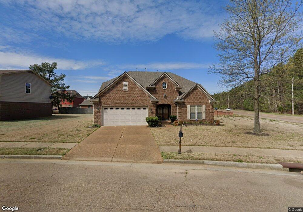
7670 Stonington Dr Memphis, TN 38125
Southern Shelby County NeighborhoodEstimated Value: $292,000 - $383,000
4
Beds
4
Baths
3,307
Sq Ft
$105/Sq Ft
Est. Value
About This Home
This home is located at 7670 Stonington Dr, Memphis, TN 38125 and is currently estimated at $348,739, approximately $105 per square foot. 7670 Stonington Dr is a home located in Shelby County with nearby schools including Lowrance Elementary School, Southwind High School, and Power Center Academy - Southeast.
Ownership History
Date
Name
Owned For
Owner Type
Purchase Details
Closed on
Jun 8, 2007
Sold by
Faxongillis Homes Inc
Bought by
Draper Charlotte A
Current Estimated Value
Home Financials for this Owner
Home Financials are based on the most recent Mortgage that was taken out on this home.
Original Mortgage
$194,475
Outstanding Balance
$121,509
Interest Rate
6.16%
Mortgage Type
Construction
Estimated Equity
$227,230
Create a Home Valuation Report for This Property
The Home Valuation Report is an in-depth analysis detailing your home's value as well as a comparison with similar homes in the area
Home Values in the Area
Average Home Value in this Area
Purchase History
| Date | Buyer | Sale Price | Title Company |
|---|---|---|---|
| Draper Charlotte A | $39,000 | None Available |
Source: Public Records
Mortgage History
| Date | Status | Borrower | Loan Amount |
|---|---|---|---|
| Open | Draper Charlotte A | $194,475 |
Source: Public Records
Tax History Compared to Growth
Tax History
| Year | Tax Paid | Tax Assessment Tax Assessment Total Assessment is a certain percentage of the fair market value that is determined by local assessors to be the total taxable value of land and additions on the property. | Land | Improvement |
|---|---|---|---|---|
| 2025 | $2,292 | $87,725 | $10,425 | $77,300 |
| 2024 | $2,292 | $67,600 | $10,425 | $57,175 |
| 2023 | $2,292 | $67,600 | $10,425 | $57,175 |
| 2022 | $2,292 | $67,600 | $10,425 | $57,175 |
| 2021 | $2,332 | $67,600 | $10,425 | $57,175 |
| 2020 | $2,023 | $49,950 | $10,425 | $39,525 |
| 2019 | $2,023 | $49,950 | $10,425 | $39,525 |
| 2018 | $2,023 | $49,950 | $10,425 | $39,525 |
| 2017 | $2,053 | $49,950 | $10,425 | $39,525 |
| 2016 | $1,983 | $45,375 | $0 | $0 |
| 2014 | $1,983 | $45,375 | $0 | $0 |
Source: Public Records
Map
Nearby Homes
- 4646 Sweet Whisper Ln
- 4768 Gertrude Dr
- 4471 Hughes Meadow Dr
- 4826 Callaway Hills Dr
- 4764 Buttermilk Dr
- 7421 Richmond Rd
- 4735 Harvest Knoll Cove N
- 4419 Berkley Woods Dr
- 7321 Stonington Dr
- 4820 Harvest Knoll Ln
- 4294 Thunderstone Cir W
- 7875 Fallstone Rd
- 7286 New Britain Dr
- 7527 Wilsford Cove
- 4569 Cardiff Cove
- 7522 Starfire Cove
- 4512 S Germantown Rd
- 7893 Collins Wood Cove
- 4316 Barry Meadows Cove
- 4768 Bradfield Run
- 7656 Stonington Dr
- 7633 Fox Bridge Cove
- 7623 Fox Bridge Cove
- 4621 Long Creek Rd
- 7646 Stonington Dr
- 7615 Fox Bridge Cove
- 7647 Stonington Dr
- 7636 Stonington Dr
- 7605 Fox Bridge Cove
- 7626 Fox Bridge Cove
- 4571 Long Creek Rd
- 7637 Stonington Dr
- 7616 Espie Cove
- 7618 Fox Bridge Cove
- 7610 Fox Bridge Cove
- 7626 Stonington Dr
- 7608 Espie Cove
- 7627 Stonington Dr
- 7599 Fox Bridge Cove
- 7600 Espie Cove