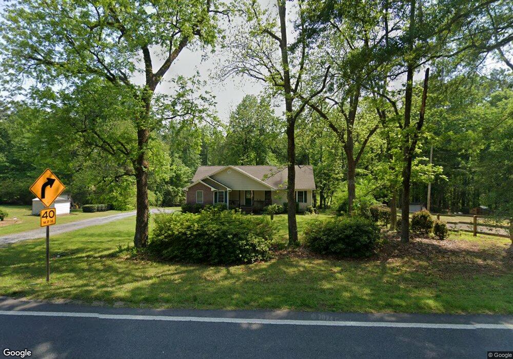
7675 Campground Rd Cumming, GA 30040
Estimated Value: $450,000 - $560,000
3
Beds
2
Baths
1,686
Sq Ft
$296/Sq Ft
Est. Value
About This Home
This home is located at 7675 Campground Rd, Cumming, GA 30040 and is currently estimated at $499,635, approximately $296 per square foot. 7675 Campground Rd is a home located in Forsyth County with nearby schools including Vickery Creek Middle School, West Forsyth High School, and Covenant Christian Academy.
Ownership History
Date
Name
Owned For
Owner Type
Purchase Details
Closed on
Sep 16, 2013
Sold by
Atkins Camille Jan
Bought by
Cjm Svcs Llc
Current Estimated Value
Purchase Details
Closed on
May 29, 2013
Sold by
Hyde Marie P
Bought by
Atkins Camille Jan and Cjm Svcs Llc
Purchase Details
Closed on
Oct 27, 2010
Sold by
Atkins Camille
Bought by
Hyde Marie P
Purchase Details
Closed on
Jun 1, 2010
Sold by
Hyde Marie P
Bought by
Atkins Camille
Create a Home Valuation Report for This Property
The Home Valuation Report is an in-depth analysis detailing your home's value as well as a comparison with similar homes in the area
Home Values in the Area
Average Home Value in this Area
Purchase History
| Date | Buyer | Sale Price | Title Company |
|---|---|---|---|
| Cjm Svcs Llc | -- | -- | |
| Atkins Camille Jan | -- | -- | |
| Hyde Marie P | -- | -- | |
| Atkins Camille | -- | -- |
Source: Public Records
Tax History Compared to Growth
Tax History
| Year | Tax Paid | Tax Assessment Tax Assessment Total Assessment is a certain percentage of the fair market value that is determined by local assessors to be the total taxable value of land and additions on the property. | Land | Improvement |
|---|---|---|---|---|
| 2025 | $4,141 | $180,040 | $51,252 | $128,788 |
| 2024 | $4,141 | $168,888 | $45,056 | $123,832 |
| 2023 | $4,705 | $191,148 | $74,344 | $116,804 |
| 2022 | $3,931 | $106,408 | $24,000 | $82,408 |
| 2021 | $2,938 | $106,408 | $24,000 | $82,408 |
| 2020 | $2,838 | $102,776 | $24,000 | $78,776 |
| 2019 | $2,660 | $96,184 | $20,000 | $76,184 |
| 2018 | $2,421 | $87,556 | $20,000 | $67,556 |
| 2017 | $2,273 | $81,884 | $20,000 | $61,884 |
| 2016 | $2,217 | $79,884 | $18,000 | $61,884 |
| 2015 | $2,221 | $79,884 | $18,000 | $61,884 |
| 2014 | $1,971 | $74,448 | $0 | $0 |
Source: Public Records
Map
Nearby Homes
- 7619 Campground Rd
- 7880 Brands Hatch Blvd
- 7825 Brands Hatch Blvd
- 412 Manor Ridge View
- 212 Silver Birch Ct
- 4465 Mossbrook Cir
- 6645 Bentley Ridge Dr
- 6610 Tything Ct
- 7933 Midway Rd
- 7380 Bates Dr
- 6515 Bentley Ridge Dr
- 116 Waverly Dr
- 6390 Yellow Birch St
- 4645 Hamptons Dr
- 4655 Hamptons Dr
- 8014 Holyoke Rd
- 7330 Oldbury Place
- 4750 Hamptons Dr
- 2687 Holbrook Campground Rd
- 7675 Campground Rd Unit A
- 7645 Campground Rd
- 7665 Campground Rd
- 7679 Campground Rd
- 7666 Campground Rd
- 7658 Campground Rd
- 7680 Campground Rd
- 7610 Campground Rd
- 7610 Campground Rd Unit 1
- 7646 Campground Rd
- 7625 Donington Park Dr
- 7610 Campground Rd
- 7610 Campground Rd Unit 1
- 7591 Campground Rd
- 7715 Midway Rd
- 7715 7715 Midway Rd
- 7681 Campground Rd
- 7681 Campground Rd
- 7630 Donington Park Dr
- 7635 Donington Park Dr