7675 Scully Rd Dexter, MI 48130
Estimated Value: $632,515 - $814,000
4
Beds
4
Baths
2,990
Sq Ft
$236/Sq Ft
Est. Value
About This Home
This home is located at 7675 Scully Rd, Dexter, MI 48130 and is currently estimated at $705,629, approximately $235 per square foot. 7675 Scully Rd is a home located in Washtenaw County with nearby schools including Bates Elementary School, Creekside Intermediate School, and Anchor Elementary School.
Ownership History
Date
Name
Owned For
Owner Type
Purchase Details
Closed on
Jan 19, 2021
Sold by
Lint Carrie
Bought by
Lint Carrie and Dekiere Jonathan Russell
Current Estimated Value
Purchase Details
Closed on
Aug 29, 2014
Sold by
Lint Brandon
Bought by
Lint Carrie L
Home Financials for this Owner
Home Financials are based on the most recent Mortgage that was taken out on this home.
Original Mortgage
$264,000
Interest Rate
4.09%
Mortgage Type
New Conventional
Purchase Details
Closed on
Dec 22, 2009
Sold by
Hoeft Calvin C and Hoeft Joan R
Bought by
Lint Brandon and Lint Carrie
Home Financials for this Owner
Home Financials are based on the most recent Mortgage that was taken out on this home.
Original Mortgage
$250,900
Interest Rate
4.9%
Mortgage Type
FHA
Create a Home Valuation Report for This Property
The Home Valuation Report is an in-depth analysis detailing your home's value as well as a comparison with similar homes in the area
Home Values in the Area
Average Home Value in this Area
Purchase History
| Date | Buyer | Sale Price | Title Company |
|---|---|---|---|
| Lint Carrie | -- | None Listed On Document | |
| Lint Carrie L | -- | Liberty Title | |
| Lint Brandon | $260,000 | Sur |
Source: Public Records
Mortgage History
| Date | Status | Borrower | Loan Amount |
|---|---|---|---|
| Previous Owner | Lint Carrie L | $264,000 | |
| Previous Owner | Lint Brandon | $250,900 |
Source: Public Records
Tax History
| Year | Tax Paid | Tax Assessment Tax Assessment Total Assessment is a certain percentage of the fair market value that is determined by local assessors to be the total taxable value of land and additions on the property. | Land | Improvement |
|---|---|---|---|---|
| 2025 | $2,157 | $314,500 | $0 | $0 |
| 2024 | $2,096 | $298,100 | $0 | $0 |
| 2023 | $1,996 | $268,300 | $0 | $0 |
| 2022 | $6,565 | $247,100 | $0 | $0 |
| 2021 | $6,381 | $235,400 | $0 | $0 |
| 2020 | $6,303 | $230,100 | $0 | $0 |
| 2019 | $5,686 | $198,200 | $198,200 | $0 |
| 2018 | $5,572 | $169,800 | $0 | $0 |
| 2017 | $5,336 | $167,500 | $0 | $0 |
| 2016 | $1,557 | $146,518 | $0 | $0 |
| 2015 | -- | $146,080 | $0 | $0 |
| 2014 | -- | $141,516 | $0 | $0 |
| 2013 | -- | $141,516 | $0 | $0 |
Source: Public Records
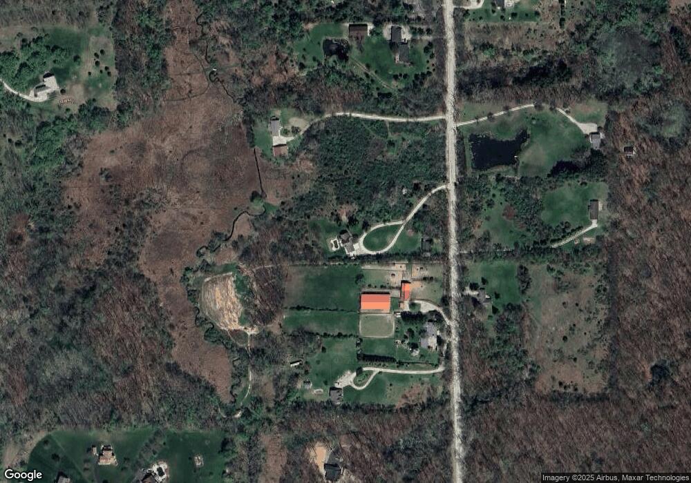
Map
Nearby Homes
- 7468 Webster Church Rd
- 8814 Pellett Dr
- 9380 Dinser Ln
- 4297 Dinser Ln
- 9470 Dinser Ln
- 6170 Gregory Rd
- 6336 Mast Rd
- 5557 Cobble Ln Unit 3
- 11663 Colangelo Ln
- 7343 Lucy Dr
- 5696 Trail Side Ln Unit 3
- 5725 Trail Side Ln
- 5824 Trail Side Ln
- 5660 Trailside Ln Unit 4
- 7412 Black Forest Dr Unit 21
- 7700 Chamberlin Rd
- 8045 Trail Ridge
- 7433 Walsh Rd
- 5299 Vaughn Rd
- 5215 Vaughn Rd
- 7625 Scully Rd
- 7731 Scully Rd
- 7585 Scully Rd
- 7636 Scully Rd
- 7517 Scully Rd
- 7680 Scully Rd
- 7849 Scully Rd
- 7887 Scully Rd
- 7838 Scully Rd
- 7469 Scully Rd
- 7200 Hickory Creek Dr Unit 10
- 7208 Hickory Creek Dr Unit 11
- 7652 Zeeb Rd
- 7192 Hickory Creek Dr Unit 9
- 7550 Zeeb Rd
- 7902 Scully Rd
- 7423 Scully Rd
- 7949 Scully Rd
- 7950 Scully Rd
- 7195 Hickory Creek Dr
Your Personal Tour Guide
Ask me questions while you tour the home.