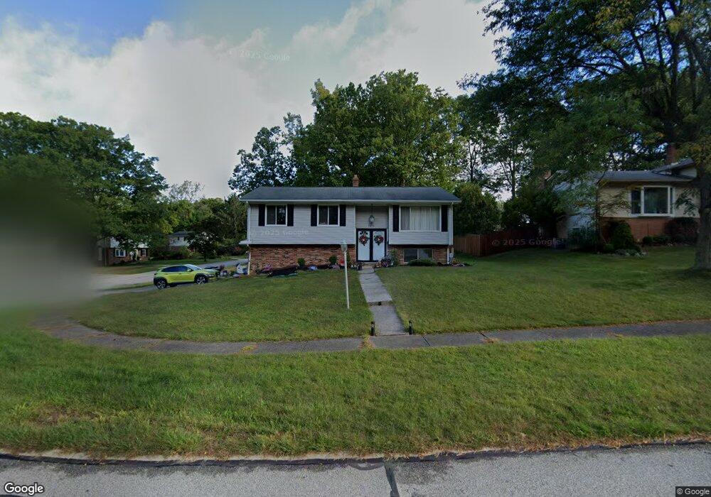
7676 Koch Dr Cleveland, OH 44134
Estimated Value: $239,897 - $302,000
3
Beds
1
Bath
1,108
Sq Ft
$253/Sq Ft
Est. Value
About This Home
This home is located at 7676 Koch Dr, Cleveland, OH 44134 and is currently estimated at $280,224, approximately $252 per square foot. 7676 Koch Dr is a home located in Cuyahoga County with nearby schools including Green Valley Elementary School, Normandy High School, and Hillside Middle School.
Ownership History
Date
Name
Owned For
Owner Type
Purchase Details
Closed on
Sep 7, 2005
Sold by
Mcnea Donald F and Mcnea Joanne M
Bought by
Mcnea Joanne M
Current Estimated Value
Purchase Details
Closed on
Nov 1, 1982
Sold by
Mcnea Donald F
Bought by
Donald F Mc Nea
Purchase Details
Closed on
Oct 22, 1982
Sold by
Wojciak David J
Bought by
Mcnea Donald F
Purchase Details
Closed on
May 31, 1979
Sold by
Chernak Martin P and Chernak E
Bought by
Wojciak David J
Purchase Details
Closed on
Jan 1, 1975
Bought by
Chernak Martin P and Chernak E
Create a Home Valuation Report for This Property
The Home Valuation Report is an in-depth analysis detailing your home's value as well as a comparison with similar homes in the area
Home Values in the Area
Average Home Value in this Area
Purchase History
| Date | Buyer | Sale Price | Title Company |
|---|---|---|---|
| Mcnea Joanne M | -- | Attorney | |
| Donald F Mc Nea | -- | -- | |
| Mcnea Donald F | $66,000 | -- | |
| Wojciak David J | $63,000 | -- | |
| Chernak Martin P | -- | -- |
Source: Public Records
Tax History Compared to Growth
Tax History
| Year | Tax Paid | Tax Assessment Tax Assessment Total Assessment is a certain percentage of the fair market value that is determined by local assessors to be the total taxable value of land and additions on the property. | Land | Improvement |
|---|---|---|---|---|
| 2024 | $4,348 | $80,850 | $17,535 | $63,315 |
| 2023 | $3,210 | $53,350 | $13,620 | $39,730 |
| 2022 | $3,206 | $53,340 | $13,615 | $39,725 |
| 2021 | $3,296 | $53,340 | $13,620 | $39,730 |
| 2020 | $2,794 | $41,690 | $10,640 | $31,050 |
| 2019 | $2,666 | $119,100 | $30,400 | $88,700 |
| 2018 | $2,873 | $41,690 | $10,640 | $31,050 |
| 2017 | $2,573 | $38,010 | $8,820 | $29,190 |
| 2016 | $3,224 | $38,010 | $8,820 | $29,190 |
| 2015 | $6,866 | $38,010 | $8,820 | $29,190 |
| 2014 | $6,866 | $39,200 | $9,100 | $30,100 |
Source: Public Records
Map
Nearby Homes
- 8175 Tanglewood Ln
- Rosecliff Plan at South Pointe - Townhomes
- Caroline w/ Covered Rear Porch Plan at South Pointe - Townhomes
- 7351 S Pointe Ln
- 7580 S Pointe Ln
- 8400 Vista Ln
- 8300 Ridgedale Rd
- 8501 Pin Oak Dr
- 7531 Vista Dr
- 4591 W Sprague Rd
- 7730 Lime Ln
- 7706 Wake Robin Dr
- 7957 Pamela Dr
- 4440 Coral Gables Dr
- 8053 Thornhurst Dr
- 6417 Thoreau Dr
- 4402 Stary Dr
- 4803 Sassafras Dr
- 6451 Glenwillow Dr
- 7500 Romilly Oval
- 7672 Koch Dr
- 6841 Sandy Hook Dr
- 7668 Koch Dr
- 6920 Sandy Hook Dr
- 6908 Sandy Hook Dr
- 6819 Sandy Hook Dr
- 6912 Sandy Hook Dr
- 6900 Sandy Hook Dr
- 6904 Sandy Hook Dr
- 7664 Koch Dr
- 7671 Koch Dr
- 6840 Sandy Hook Dr
- 7679 Koch Dr
- 7667 Koch Dr
- 6820 Sandy Hook Dr
- 7646 Koch Dr
- 7658 Koch Dr
- 7663 Koch Dr
- 6721 Sandy Hook Dr
- 6800 Sandy Hook Dr