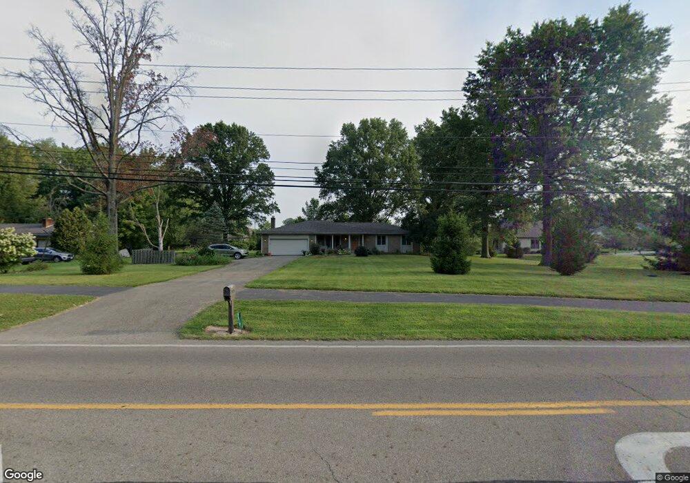
7679 Maxtown Rd Westerville, OH 43082
Genoa NeighborhoodEstimated Value: $421,000 - $516,000
3
Beds
2
Baths
1,596
Sq Ft
$297/Sq Ft
Est. Value
About This Home
This home is located at 7679 Maxtown Rd, Westerville, OH 43082 and is currently estimated at $474,223, approximately $297 per square foot. 7679 Maxtown Rd is a home located in Delaware County with nearby schools including Alcott Elementary School, Genoa Middle School, and Westerville Central High School.
Ownership History
Date
Name
Owned For
Owner Type
Purchase Details
Closed on
Sep 8, 1998
Sold by
Canini Thomas R
Bought by
Sullivan M Jenell Edith R
Current Estimated Value
Home Financials for this Owner
Home Financials are based on the most recent Mortgage that was taken out on this home.
Original Mortgage
$109,000
Outstanding Balance
$21,187
Interest Rate
7.04%
Mortgage Type
New Conventional
Estimated Equity
$453,036
Create a Home Valuation Report for This Property
The Home Valuation Report is an in-depth analysis detailing your home's value as well as a comparison with similar homes in the area
Home Values in the Area
Average Home Value in this Area
Purchase History
| Date | Buyer | Sale Price | Title Company |
|---|---|---|---|
| Sullivan M Jenell Edith R | $149,500 | -- |
Source: Public Records
Mortgage History
| Date | Status | Borrower | Loan Amount |
|---|---|---|---|
| Open | Sullivan M Jenell Edith R | $109,000 |
Source: Public Records
Tax History
| Year | Tax Paid | Tax Assessment Tax Assessment Total Assessment is a certain percentage of the fair market value that is determined by local assessors to be the total taxable value of land and additions on the property. | Land | Improvement |
|---|---|---|---|---|
| 2024 | $6,084 | $127,400 | $38,290 | $89,110 |
| 2023 | $5,996 | $127,400 | $38,290 | $89,110 |
| 2022 | $5,399 | $90,690 | $28,910 | $61,780 |
| 2021 | $5,453 | $90,690 | $28,910 | $61,780 |
| 2020 | $5,486 | $90,690 | $28,910 | $61,780 |
| 2019 | $4,645 | $75,360 | $25,130 | $50,230 |
| 2018 | $4,503 | $75,360 | $25,130 | $50,230 |
| 2017 | $4,411 | $63,000 | $20,930 | $42,070 |
| 2016 | $3,945 | $63,000 | $20,930 | $42,070 |
| 2015 | $3,913 | $63,000 | $20,930 | $42,070 |
| 2014 | $3,866 | $63,000 | $20,930 | $42,070 |
| 2013 | $4,462 | $63,000 | $20,930 | $42,070 |
Source: Public Records
Map
Nearby Homes
- 974 Wake Dr
- 7568 Park Bend Ct
- 8133 Dunaway Ln
- 1161 Tidewater Ct
- 8191 Maxtown Rd
- 7026 Sunbury Rd
- 8118 Saybrook Dr
- 6685 Tussic Street Rd
- 6798 Garden View Dr
- 6703 Sorensen Place
- 787 Centerpark Dr
- 1216 Hooverview Dr
- 755 Kingsmead Rd Unit 20755
- 660 Albion Place Unit 8660
- 960 Lakeland Dr
- 6471 Margaret Dr
- 6136 Keats Place
- 180 Oakwood Ct
- 852 Karen Ct
- 5746 Bulrush Ct
- 7667 Maxtown Rd
- 6966 Regency Dr
- 6948 Regency Dr
- 6942 Springview Dr
- 6954 Springview Dr
- 6932 Springview Dr
- 7676 Maxtown Rd
- 7625 Maxtown Rd
- 6970 Springview Dr
- 7720 Maxtown Rd
- 6961 Regency Dr
- 7636 Maxtown Rd
- 6947 Regency Dr
- 6933 Regency Dr
- 7754 Maxtown Rd
- 6906 Regency Dr
- 6917 Regency Dr
- 7100 Hemstead Rd
- 6929 Springview Dr
- 6949 Springview Dr
Your Personal Tour Guide
Ask me questions while you tour the home.