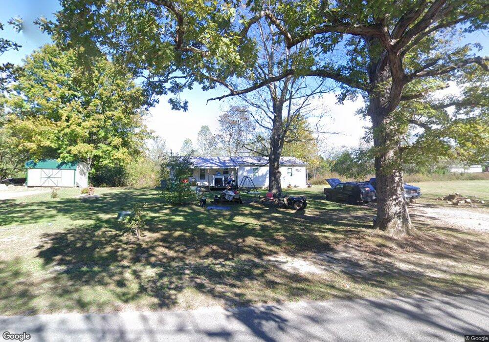
768 Browntown Rd Sparta, TN 38583
Estimated Value: $161,448 - $354,000
--
Bed
1
Bath
1,352
Sq Ft
$197/Sq Ft
Est. Value
About This Home
This home is located at 768 Browntown Rd, Sparta, TN 38583 and is currently estimated at $266,816, approximately $197 per square foot. 768 Browntown Rd is a home located in White County with nearby schools including Northfield Elementary School, White County Middle School, and White County High School.
Ownership History
Date
Name
Owned For
Owner Type
Purchase Details
Closed on
Jul 21, 2023
Sold by
Brown Michael L and Sparks Glenda D
Bought by
Brown Brandy A
Current Estimated Value
Purchase Details
Closed on
Mar 6, 2003
Sold by
Michael Brown
Bought by
Sheila Brown
Home Financials for this Owner
Home Financials are based on the most recent Mortgage that was taken out on this home.
Original Mortgage
$61,830
Interest Rate
5.93%
Purchase Details
Closed on
Feb 22, 1993
Bought by
Brown Michael and Brown Shelia
Purchase Details
Closed on
Nov 7, 1986
Bought by
Troelstrup Richard and Troelstrup Madelyn
Purchase Details
Closed on
Aug 6, 1986
Purchase Details
Closed on
Jan 2, 1900
Create a Home Valuation Report for This Property
The Home Valuation Report is an in-depth analysis detailing your home's value as well as a comparison with similar homes in the area
Home Values in the Area
Average Home Value in this Area
Purchase History
| Date | Buyer | Sale Price | Title Company |
|---|---|---|---|
| Brown Brandy A | -- | None Listed On Document | |
| Sheila Brown | -- | -- | |
| Brown Michael | $2,100 | -- | |
| Troelstrup Richard | -- | -- | |
| -- | $10,000 | -- | |
| -- | -- | -- |
Source: Public Records
Mortgage History
| Date | Status | Borrower | Loan Amount |
|---|---|---|---|
| Previous Owner | Not Available | $61,830 |
Source: Public Records
Tax History Compared to Growth
Tax History
| Year | Tax Paid | Tax Assessment Tax Assessment Total Assessment is a certain percentage of the fair market value that is determined by local assessors to be the total taxable value of land and additions on the property. | Land | Improvement |
|---|---|---|---|---|
| 2025 | $370 | $34,400 | $0 | $0 |
| 2024 | $370 | $18,025 | $8,250 | $9,775 |
| 2023 | $370 | $18,025 | $8,250 | $9,775 |
| 2022 | $370 | $18,025 | $8,250 | $9,775 |
| 2021 | $370 | $18,025 | $8,250 | $9,775 |
| 2020 | $370 | $18,025 | $8,250 | $9,775 |
| 2019 | $346 | $16,875 | $7,475 | $9,400 |
| 2018 | $346 | $16,875 | $7,475 | $9,400 |
| 2017 | $346 | $16,875 | $7,475 | $9,400 |
| 2016 | $346 | $16,875 | $7,475 | $9,400 |
| 2015 | $312 | $16,875 | $7,475 | $9,400 |
| 2014 | -- | $16,875 | $7,475 | $9,400 |
| 2013 | -- | $16,100 | $7,475 | $8,625 |
Source: Public Records
Map
Nearby Homes
- 16 AC Browntown Rd
- 2063 Browntown Rd
- 30 Acres Browntown Rd
- 57 Acres Browntown Rd
- 00 Browntown Rd
- 830 Browntown Rd
- 872 Browntown Rd
- 887 Browntown Rd
- 191 Angelie Ln
- 947 Browntown Rd
- 700 Browntown Rd
- 216 Angelie Ln
- 243 Angelie Ln
- 268 Angelie Ln
- 331 Angelie Ln
- 1138 Browntown Rd
- 215 Eldridge Cemetery Rd
- 1153 Browntown Rd
- 271 Eldridge Cemetery Rd
- 912 Browntown Rd